Tuesday 27th October
The light rain and drizzle persisted until around 14.00 on Monday that with more rain arriving in the early hours from the next weather front, saw another 13.9mm of precipitation added to the monthly total that now stands at 129.3mm in contrast to my 43-year record for October of 90.8mm. It is currently the wettest October since 2020.
The cloud and warm air from the south west resulted in an above maximum (+0.4C) of 15.3C that made it the warmest day since the 15th. The cloud and warmer air resulted in the thermometer hovering around 15C for most of the night, a very mild night at +7C, that is until the cold front arrived just before 04.00. The temperature dropped way after that time reading 11.7C at 08.00, still 4.2C above average.
At dawn on Tuesday the rain was easing away and the back edge of the weather front could be seen to the northwest with blue sky behind it that arrived over our area around 07.30 with the sun bursting through at exactly 08.15.
The weather front was a cold front that brought cooler air behind it, however, there is more to a cold front than a drop in temperature. The colder air behind the front is heavier air and pushes beneath the lighter, warmer air ahead of it, forcing it upwards, where it cools and condenses, forming clouds and rain. This was the reason for the additional precipitation in the early hours.
The barometric pressure today, Tuesday, is rising rapidly, that will give us a drier, sunny day although as the temperature rises, the odd shower might bubble up and drift in from the south-west on a breeze that is slowly dropping away. These conditions will persist into Wednesday with more sunny intervals.
The forecast pressure charts indicate that the high pressure will ease away towards the near Continent, Belgium and Holland, over Thursday. The subtle change in position will see the air travelling around it clockwise, as they do for an anticyclone, but then having an easterly component, that means a much cooler air stream with maximum temperatures likely a couple of degrees below average.
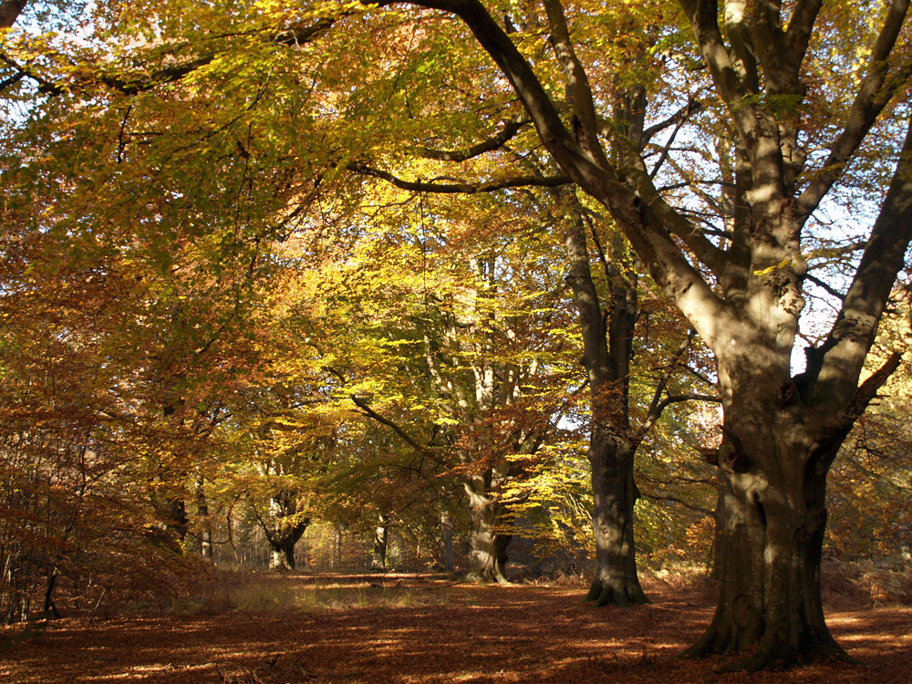
Savernake Forest is an ancient woodland covering around 4,500 acres south of Marlborough, that has remained in the same family for 31 generations, currently the Marquess of Aylesbury.