Thursday 12th November
Wednesday was still chilly under the cool northeasterly breeze, less strong than of late, that produced a maximum of 9.3C at 12.58 being 1.0C below average. It took a while for the back edge of the cloud from the weather front to thin with light drizzle between 08.00 and 09.00.
The forecast cold front could be seen arriving from the north late afternoon passing over our area around 18.00, behind which the wind edged more into the north. The thermometer then began to fall at the rate of 1C per hour in the early evening, from around 19.00, as the cloud began to thin, before levelling out with a minimum of 0.7C at 07.15, just before sunrise in Marlborough at 07.19. The low was 3.4C below average making it the coldest night since 12th May.
Thursday after first light revealed misty conditions with clear sky to the east, however, a small bank of cloud could be seen drifting in from the north that partially obscured the early morning sunshine, which had lifted the temperature to 1.8C by 08.00. The barometric pressure is slowly building again as a minor area of high pressure moves towards the UK.
The Arctic air will produce an air frost early Friday and Saturday mornings under relatively clear skies, the first air frost since May 12th.
We have two days of cold weather on Thursday and Friday as the Arctic air begins to bite with the breeze mainly from the north. The high pressure that is building today and briefly centred over the country, will edge away early Saturday allowing low pressure to approach the UK from the Atlantic, with the wind having more of a southerly component resulting in temperatures over the weekend recovering to around the November average.
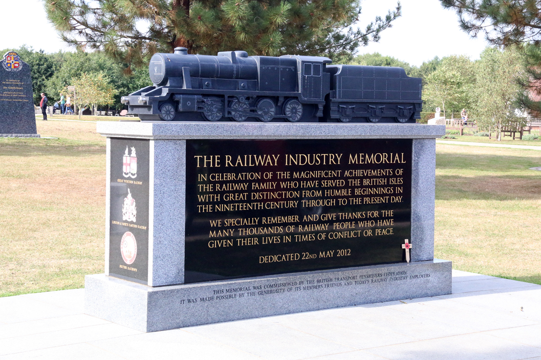
National Memorial Arboretum
The site has 420 memorials which honour the service and sacrifice of the armed forces, emergency services and other civilian organisations.