Wednesday 11th November
Tuesday was cold thanks to the brisk easterly breeze continuing under continuous cloud cover. The maximum of 7.8C was exactly the same as on the previous two days, being 2.5C below average. The temperature has varied little over the past twenty-four hours, falling just 1C to produce a minimum of 6.8C at 04.47 early Wednesday. It felt cold outside due to the wind chill factor that at times felt more than 1C below that indicated on a shielded thermometer.
The first rain drops from the extensive weather front were observed at 14.05 and continued overnight, still falling Wednesday morning, that produced a total of 14.4mm. Between 21.00 and midnight there was a much heavier fall that then lingered well into Wednesday.
Wednesday struggled to come to life under thick, low cloud from the back edge of the weather front, rain was still falling at 08.00, if light. The weather front is slow moving with the rain probably petering out late morning leaving another cloudy, overcast day.
Wednesday evening will see a significant change in the weather. The recent weather front will have eased away southwards, as the depression moves further into the Atlantic, to be replaced with an anticyclone building near Iceland and attempting to edge closer to the UK. This will produce a cold weather front that will sweep Arctic air down across the country tonight and into Thursday resulting in a brief cold snap for two days. The distinct change in weather will sweep away the recent fog and misty days that will give us a couple of sunny, if cool days.
The Arctic air will arrive on a northerly brisk breeze on Thursday, then northwesterly on Friday. There will be an increased pressure gradient that is likely to produce a wind chill. The air stream moving clockwise around the high pressure edging southwards towards the UK, will be squeezed between the air circulating anticlockwise around a depression over eastern Europe. The cold air and clear overnight skies will mean we will have the first frosts of the season early Friday and Saturday mornings.
The forecast surface pressure charts indicate that the cold snap will be brief. As the high pressure exits towards the Continent, by Saturday the wind direction will change to southeast and possibly south on Sunday, a much warmer direction, returning maximum temperatures to around the average for November.
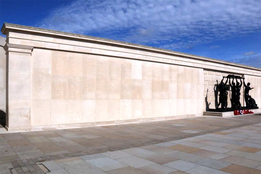
National Memorial Arboretum.
The National Memorial Arboretum was officially renamed the Royal British Legion National Remembrance Garden in September 2026. The Royal British Legion has supported the site since 2003. Officials stated that the new name mirrors what the 150-acre site has grown into over the last 25 years, featuring over 420 memorials, gardens and sculptures. The picture is of the wall at the centre of the site where names of the fallen are inscribed