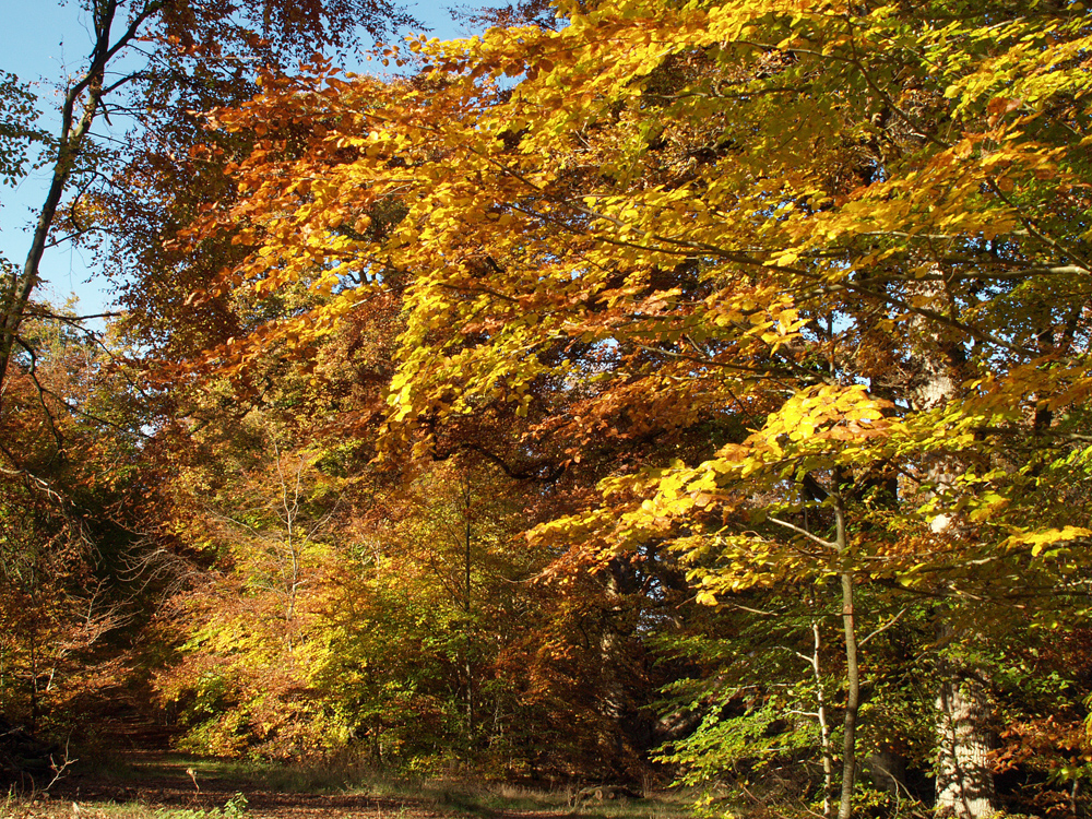
Monday 26th October
Sunday turned out well, if very windy, with welcome sunshine from rising air pressure. However, The strength of the wind from the west, gusting to 30mph at its peak, combined with a build of cloud after mid-day, produced a cool day with the thermometer not rising above 12.7C, which was 2.2C below average. The cloud overnight produced a low of 7.7C at 03.32, being 0.2C above average.
Monday began gloomy as yet another weather front crossed our area with the first raindrops being observed at 06.50. This time it is a warm weather front, which as its name suggests will see warmer air arriving that will result in the maximum temperature rising well above average, for just one day! The third major Atlantic depression is heading between Scotland and Iceland with its air circulating anticlockwise arriving from the southwest originating from around the Azores High.
The Azores High will continue to edge closer over the next few days that, after a rain band drifts eastwards tomorrow morning, will see much calmer and sunnier weather arrive for the rest of the week. The high pressure will mean much calmer conditions, in fact at this time of the year with much higher humidity after all the rain, might produce foggy conditions during the early hours of perhaps Thursday.
With the beech trees beginning to produce their wonderful displays of autumn colour there will be a selection of images this week from Savernake Forest, Marlborough. It is the only historic forest in Britain privately owned with its timber leased to Forestry England. It is a site of Special Scientific Interest (SSSI) known for its veteran trees and rare lichens.