Monday 5th October
Sunday was a very pleasant autumn day with plenty of sunshine, although a slightly cloudier period occurred between 12.00 and 13.00, which limited the eventual maximum to 21.4C, even so, this was 6.5C above average. Initially the sky was clear in the evening, however, advance cloud from another weather front began to edge across from the west just after midnight, that meant the drop in temperature was limited, with a minimum of 12.9C at 06.55, this low was 5.4C above average. Both day and night were exceptionally mild for early October.
First light on Monday revealed the extent of the weather front and its associated cloud with misty conditions draping the Marlborough Downs and Savernake Forest. The air was very humid with moisture being felt in the air but no measurable precipitation. There is a slight possibility of some brightness as the afternoon progresses, if the cloud cover thins, with hopefully a sunny interval or two. Whatever, the flow of humid, warm air on a light south-southwest air stream will mean another mild day and night ahead.
Tuesday will follow a similar pattern although any sunshine is likely to be minimal, however, this will be the last very mild day and night.
The barometric pressure is slowly falling indicating the change in the weather pattern, having dropped 5mb since yesterday with a reading of 1025.7mb at 08.00.
As the high pressure relocates further southwestwards, the air will come around its northern flank on Wednesday and arrive from a more northerly direction, which will be a much cooler airstream that will result in a maximum probably just below the October average, perhaps a fall of six or seven degrees below the recent highs, so feeling chilly. A weather front will traverse the country in the morning with its associated cloud. There is increasing confidence that the cold front will produce several hours of possible light rain.
The forecast charts for Thursday indicate it will be a bright, dry and sunny day as the cloud from the weather front will have cleared and the wind beginning to veer a few degrees to come from the northwest but still a chilly day. By Friday, the forecast carts indicate that the wind might have backed further to return us to a pattern of moist, warmer air stream from the southwest with possibly further light showers, especially in the morning, early days for much confidence.
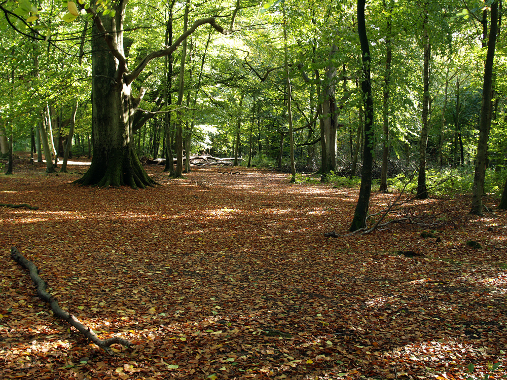
The trees are beginning to show signs that autumn is arriving with limited change in colour appearing on the leaves. For the next few days I will attach images taken in SavernaKe Forest, that as the weeks progress, will reveal the full colour of the beech trees in their transformation, before winter arrives.
HadUK-Grid: assessing the UK’s climate over time
Author: Met Office
Part 1
Every day, weather stations across the UK record the conditions around us.
They measure temperature, rainfall, sunshine, wind and much more, creating a vast collection of observations that helps us understand the weather as it happens.
But weather stations cannot be located everywhere. There is no instrument on every hillside, in every valley or on every street. The observing network also changes over time as stations open, close or move. So how can we bring individual measurements together to understand the climate of the whole country?
The answer is HadUK-Grid.
HadUK-Grid is a digital representation of the UK’s climate, built using observations from hundreds of weather stations. It turns measurements taken at individual locations into a complete and consistent picture covering the country, allowing scientists to examine conditions across space and through time in a consistent manner.
More of this article tomorrow