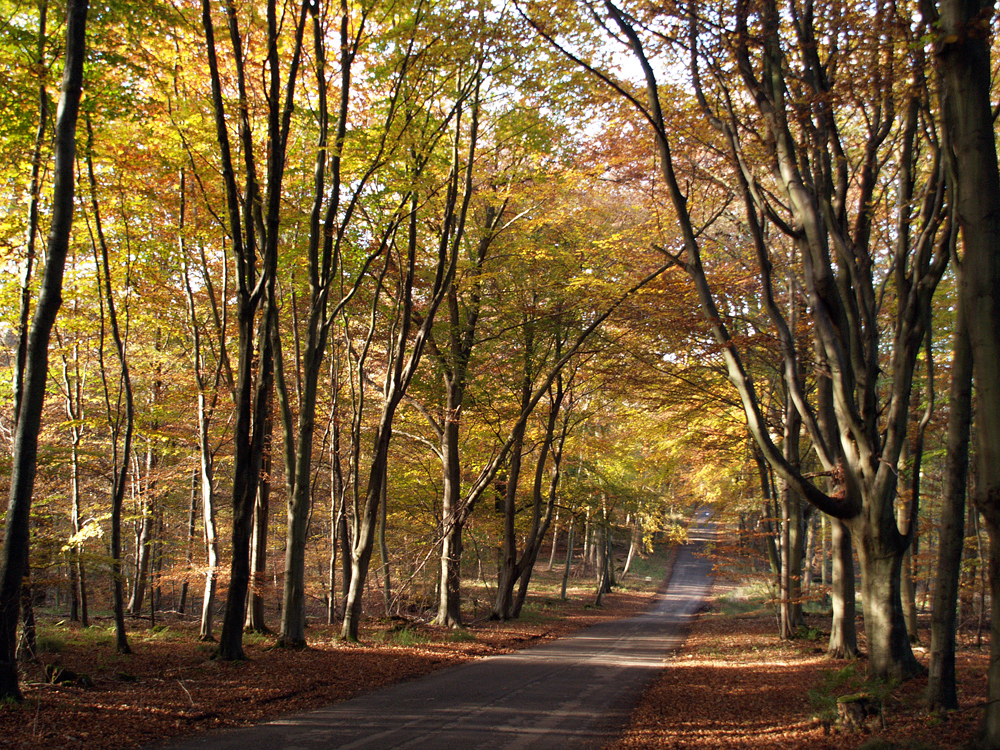
Friday 30th October
The fog thinned and evaporated after 08.00 on Thursday but the thick low cloud was reluctant to part although there were brief glimpses of brightness mid-morning. A high of 15.2C at 13.12, before more cloud drifted across, was 0.3C above average whilst the low of 7.1C was almost identical to the previous night being 0.4C below average.
Under calm conditions fog formed again in the early hours of Friday, that looking at the back track of the radar, indicated it began to form around 02.00, however, it was not quite so dense as on Thursday morning with visibility down to around 200m after dawn.
The current high pressure will dominate today and over the weekend. Looking at the forecast pressure charts it appears that the Azores high will build across the country on Monday and become resident for much of next week. This will act as a buffer to any passing weather front that attempt to edge across the country from depressions that will be easing to the north of its centre, near Iceland. In fact there is a possibility that the centre will be exceptionally high as it settles across the UK leading to mellow, quiet, fine days with varying amounts of sunshine and little prospect of much rainfall.
The forecast track of the jet stream next week suggests that instead of a steady stream across the Atlantic, feeding us with low pressure systems, it will unusually split to the north and south of the UK leaving us under a dome of significant high pressure. The wind coming from a north easterly quadrant will be mainly light with temperatures by day and night close to the November average and at the moment, no indication of any frost.
I have been analysing the varying times when the first air frost of the autumn occurs over the last 43 years and will add an item to my October Review at the beginning of November. No surprises in which direction the trend is moving!
Just as a matter of interest!
I have recently read the newly published book by Laura Tobin, TV meteorologist, where I learnt that air pressure can affect the taste of tea and coffee, as it indicates the boiling point of water. The barometric pressure this month has varied considerably from 988mb at its lowest to 1035mb in the middle of the month. The normal boiling point of water is 100C. At 1035mb the boiling point of water was 100.5C but at 988mb the boiling point was 98.4C, thus a lower temperature when the water reached the tea leaves. Not sure I could detect any changes!