Windrush Weather

Author: Eric Gilbert

  • Cooler air has arrived

    Cooler air has arrived

    Monday 20th July
    Sunday was the first day when the cooler air, originating from near Iceland, began to affect our weather. The thermometer only very slowly began to rise during the morning and into the afternoon, eventually peaking at 16.29 with a maximum of 23.1C, just 0.2C above average. It was the coolest day this month and only just above the July average. Under clear skies in the early hours, before cloud arrived just after 02.00 and a cool air stream, the temperature dropped very low overnight producing the coolest night this month, in fact it was the coolest night since the 16th May, which was a significant 5.7C below my long-term average.

    Monday began under muted sunshine due to thin, high cloud that limited the rise in warmth resulting in a temperature of just 11.2C at 08.00.

    The week ahead will continue to be dominated by the high pressure to the west of the UK feeding in the cooler air on a northeasterly breeze and fending off any weather fronts that might arrive around its northern flank, which might impact Scotland. However, forecasts indicate that temperatures will increase again this week being several degrees above average although not reaching the heatwave threshold, and staying dry.

    Not only was the cooler air obvious from the coolest day and night but also the ground, which at 08.00 each day and at a depth of 5cm read 21.6C, 20.2C and 17.2C, respectively over the past three days. The day itself produced the highest peak solar radiation for several days, with a peak of 1130W/m2 at 12.31 as the air from the northern quadrant is less polluted than that from the Continent. The UV level was also at its highest for a week being at the top end of the High scale.

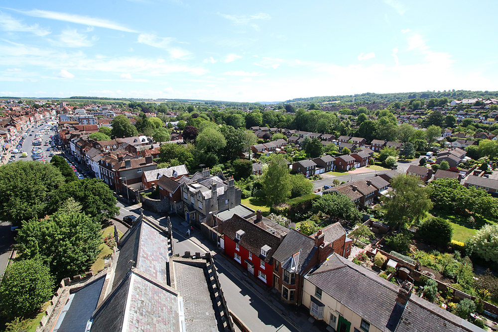
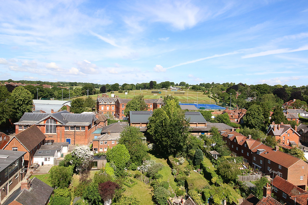
    For several days I will attach images taken on the Kennet and Avon canal with a horse drawn barge.

  • Distinct cooling following coolest day this month

    Distinct cooling following coolest day this month

    Sunday 19th July
    The morning of Saturday was bright with strong sunshine, however, variable cloud arrived as the afternoon progressed that limited the increase in heat. In fact, the maximum of 24.2C, early in the afternoon at 15.10, made it the coolest day this month, being just 1.3C above average. The past night was also cool that gave us a minimum of 9.9C at 05.46 early Sunday morning, which made it the second coolest night this month after 6.9C on the 3rd. The low was 2.0C below average.

    Sunday began bright with muted sunshine as it began to work on the high, thin cloud. Due to the sun rising later, almost a month after the longest day also the limited sunshine, the thermometer only slowly rose to 15.3C at 08.00, the coolest start to a new day at that time since the 3rd.

    The high pressure is proving reluctant to disappear as currently it is meandering around the mid-Atlantic, to the west of the UK. In fact the barometric pressure is currently building that will see it fend off any possible weather fronts that might topple around its northerner edge during the week. The barometric pressure of 1025.2mb at 08.00 was the highest since the 5th. Thanks to the anticyclone, this week will continue very warm but thankfully no heatwave, as maximum temperatures will be just a few degrees above average, not excessively hot. The reason for the drop in temperature is that the air stream will originate from near Iceland and arrive from a northerly sector for the first part of the week before a significant change to then come from a westerly direction from around Friday, that will bring a change in our weather pattern. We have survived seventeen consecutive dry days with, at the moment, no likelihood of any precipitation during the coming week.

    I am starting a new series of images that seem appropriate for warm, dry summer days, being scenes of a horse drawn barge trip on the Kennet and Avon Canal.

  • High pressure becoming a permanent feature?

    High pressure becoming a permanent feature?

    Saturday 18th July
    Friday was more of the same that brought yet again a maximum well above the heatwave threshold with a peak of 29.1C, which was 6.2C above my long-term average. Under clear skies the temperature slowly fell away reaching a low of 13.6C at 05.48 early Saturday, being 1.6C above average.

    Saturday began with yet more sunshine after sunrise at 05.11 in Marlborough, that had boosted the temperature to 17.5C by 08.00 indicating another hot day ahead. However, today will be cooler, as the maximum will be several degrees down on recent highs and thankfully below the heatwave threshold.

    The Azores high, a resident area of high pressure near the Equator, is maintaining the centre of the anticyclone west of Ireland. As it slowly shuffles around mid-Atlantic, the breeze will continue to rotate clockwise around it and feed down across the UK the cooler air stream, originating east of Iceland, that will oscillate in direction between northeast and possibly northwest after the weekend. This will result in lower maximum temperatures but still above average for July.

    At the moment there is no indication of rain in the forecast, well into next week, although an isolated shower might erupt as it did yesterday. A localised shower system drifted down from the north last evening, just to the west of Marlborough at 19.00, that is likely to have given the Chippenham area some useful rainfall.

    Deep Dive: Heatwaves, dry ground and warming seas

    Author: Met Office
    Wed, 15 Jul 2026

    The UK has experienced a remarkable run of hot weather so far this year, with three distinct heatwaves affecting different parts of the country since late spring.

    The latest spell has proven particularly persistent, raising questions not only about how long the heat will last, but also about the wider impacts that extended periods of hot weather can have on people, landscapes and the environment.

    While many people welcome warm summer conditions, prolonged heat affects far more than just day-to-day comfort. From human health and vegetation to wildfire conditions and sea temperatures, the influences of repeated hot spells can be felt across a wide range of sectors.

    Heat is about more than temperature

    One of the key lessons from recent heatwaves is that temperature alone does not tell the full story. Humidity can significantly influence how conditions feel and how the human body responds to hot weather. During the June heatwave, high humidity levels combined with exceptionally warm air to create particularly oppressive conditions across parts of England and Wales.

    Humidity affects the body’s ability to cool itself through sweating. As moisture levels in the atmosphere increase, evaporation becomes less efficient, making it harder for people to regulate body temperature. This is one reason why humid heat can often feel more uncomfortable than a dry heat, even when air temperatures are similar.

    Research highlighted in the Met Office Deep Dive examined the health impacts associated with recent heatwaves, demonstrating that prolonged hot weather can have significant consequences for public health. The findings underline why heat remains one of the most serious weather-related hazards affecting the UK.

  • Last hot heatwave today – thankfully!

    Last hot heatwave today – thankfully!

    Friday 17th July
    There was a slow but steady increase in temperature during Thursday that eventually resulted in a maximum of 29.2C at 16.00 exactly, being 6.3C above average. It was the fifteenth consecutive dry day with the UV as expected again reaching the High level at its peak. The past night was much cooler than of late that saw the temperature drop to 10.9C at 05.32 early Friday. This was the first below average minimum since the 2nd and only the second this month.

    The sunshine was muted an hour or so after sunrise in Marlborough at 05.10, due to thin, high cloud, however by around the 07.00 the heat began to build that resulted in the thermometer reaching 19.4C by 08.00.

    The last slight movement of air overnight was logged at 00.12 this morning, since when both high and low anemometers have been, and continue stationary.

    The high pressure that has dominated our weather for the whole month will continue to be resident to the west of the UK well into next week that will maintain the very warm, dry conditions. The barometric pressure has dropped 6mb since yesterday as the centre of the high moves a little further away. At the moment there is little likelihood of any precipitation for parched gardens and fields during next week. However, a slight relocation of the anticyclone will mean the air will have more of a northerly element that will see maximum temperatures drop several degrees but still well above the July average, thus bringing to an end the recent heatwave.

    We are now halfway through July and the statistics show that the average maximum temperature is currently 28.5C, being 5.6C above my long-term July average. The average minimum temperature of 13.6C is currently 1.6C above average.

    My record for the driest July was in 1999 when just 10.1mm was recorded. The recent year of 2022 was not a lot wetter with just 14.1mm. With just 0.2mm recorded this month so far, and with little precipitation indicated during next week, I wonder if 2026 will break my 43-year record.

    Pollen forecast: Elevated levels remain over the next 5 days

    Author: Met Office
    Thu, 16 Jul 2026

    Pollen levels are set to remain elevated across large parts of the UK over the next five days, with grass and weed pollen continuing to affect many regions, although the grass season is coming towards its end in south and eastern areas.

    The highest levels are expected across western and southern areas, while parts of northern Scotland are likely to experience lower pollen counts.

    Northern Ireland begins the period with very high grass pollen levels on Thursday, alongside high weed pollen, before easing slightly through the weekend. Even so, pollen levels are expected to remain moderate to high across the five-day period.

    Wales and southwest England are also expected to see challenging conditions for hay fever sufferers, with very high pollen levels forecast on Friday before remaining high through the rest of the period. This is now mainly due to weed pollen, although Moderate to High levels of grass pollen are still around, particularly over Wales and higher ground in southwest England.

    Many parts of Scotland, northern England and the Midlands are expected to experience consistently high pollen levels. Areas including central Scotland, Tayside, Fife, Dumfries and Galloway are forecast to remain at high levels throughout the five-day outlook.

    High pollen counts are also expected for much of the period across Yorkshire and H and northwest England due to both weed and grass pollen. The west Midlands, London and southeast England are now experiencing lower levels of grass pollen, but still have high pollen levels from weeds.

  • The end of this heatwave is in sight!

    The end of this heatwave is in sight!

    Thursday 16th July
    Once again a cloudy start to the new day on Wednesday limited the rise in temperature but as the cloud thinned and broke up during the late morning the heat began to rise. A maximum of 27.7C was logged at 17.18, once again returning above the heatwave threshold, being 4.8C above average. The past night was the coolest since the 12th as the thermometer dropped away to a minimum of 13.3C at 03.55 early Thursday, only 1.3C above my July average.

    The arrival of Thursday followed the recent pattern of the new day beginning with variable cloud that had drifted in from the North Sea that initially limited the rise in temperature, although by 08.00 the thermometer had risen to 17.2C.

    The subtle, minimal change in the centre of the anticyclone will mean that the wind will back a few degrees on Friday that will see the breeze have a more northerly component, perhaps north-northeast, that will bring a slightly cooler air stream. The result will be, that after another hot day on Friday, peak temperatures over the weekend will drop a few degrees but still be above average for July, but less intense heat.

    I notice that the BBC forecasts for later next week suggest that another, short lived heatwave, will arrive. I hope that forecast does not materialise.

    Although the ground is now very dry, there is still daily, over 5mm of equivalent rainfall lost into the atmosphere due to evaporation, mostly from plant life I would think. The total loss this month now stands at 81.4mm, with the daily loss in excess of 5mm, no wonder foliage is showing signs of drying out and dying due to the high rate of transpiration.