Monday 7th September
The plume of very warm air, brought on a southerly air stream from the near Continent on Sunday, gave us a very warm day with a maximum of 26.3C at 15.58. This high was a significant 7.3C above average and made it the warmest day since 26th August. Overnight has been very mild that saw the thermometer not drop below 15.9C at 04.27, which was also well above average at +6.4C.
Monday arrived with thick cloud that is the responsibility of a cold weather front crossing the country this morning, followed quickly by a weak warm front. Both fronts will mean a cloudy day. This evening another weather front arrives, from the depression that is still sitting just off the north coast of Scotland, that is likely to produce some precipitation, at the moment we are are likely to receive light rain for most of the hours of darkness.
For the rest of the week we will be predominantly under a moist and relatively warm flow of air from the Atlantic with the wind coming from the west or southwest. By Wednesday, a minor ridge of higher pressure is likely to push across the country resulting in a day of sunny intervals.
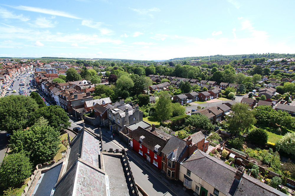
The image was taken from St Peters Church Tower in Marlborough, looking southeast across Savernake Forest in the distance and the Wide High Street top left.