Windrush Weather

Author: Eric Gilbert

  • High pressure building with heatwave on the horizon after ‘Sturgeon’ moon last night

    High pressure building with heatwave on the horizon after ‘Sturgeon’ moon last night

    Saturday 9th August
    It is interesting to see how similar the maximum temperatures have been over the last three days with little variation, just 0.6C, as the peak on Friday was 23.3C, logged at 16.23, which was 1.2C above average. That feature is about to change over the next week. Initially the sky was clear overnight when the full moon was crystal clear, called a Sturgeon Moon, explanation below. The lack of cloud initially allowed the thermometer to steadily fall away to reach a minimum of 9.2C at 05.46, early Saturday morning, just after sunrise in Marlborough at 05.43.

    Sunshine briefly greeted the new day on Saturday as shortly after sunrise a clearly defined bank of cloud, seen on the radar, drifted across that by 06.30 left just a little brightness on the eastern horizon with the sun completely obscured. The wind fell out just after midnight and was still calm at 08.00, however, when there is any air movement it will be from the west. The bank of cloud is likely to ease away before midday when the temperature will begin to rise significantly.

    The high pressure to the west has again begun to send a ridge over the UK that by Sunday will see it centred over the UK with a result the temperature will begin to rise well above the average. As we move into next week the arrival of tropical storm Dexter from the western Atlantic, will, combined with the high pressure, then a little more to the east, waft in extreme heat from the Continent.

    Sturgeon Moon: the final full moon of the summer was dubbed the Sturgeon Moon by northeastern Native American tribes because of the fish that were much larger and more easily caught at this time.

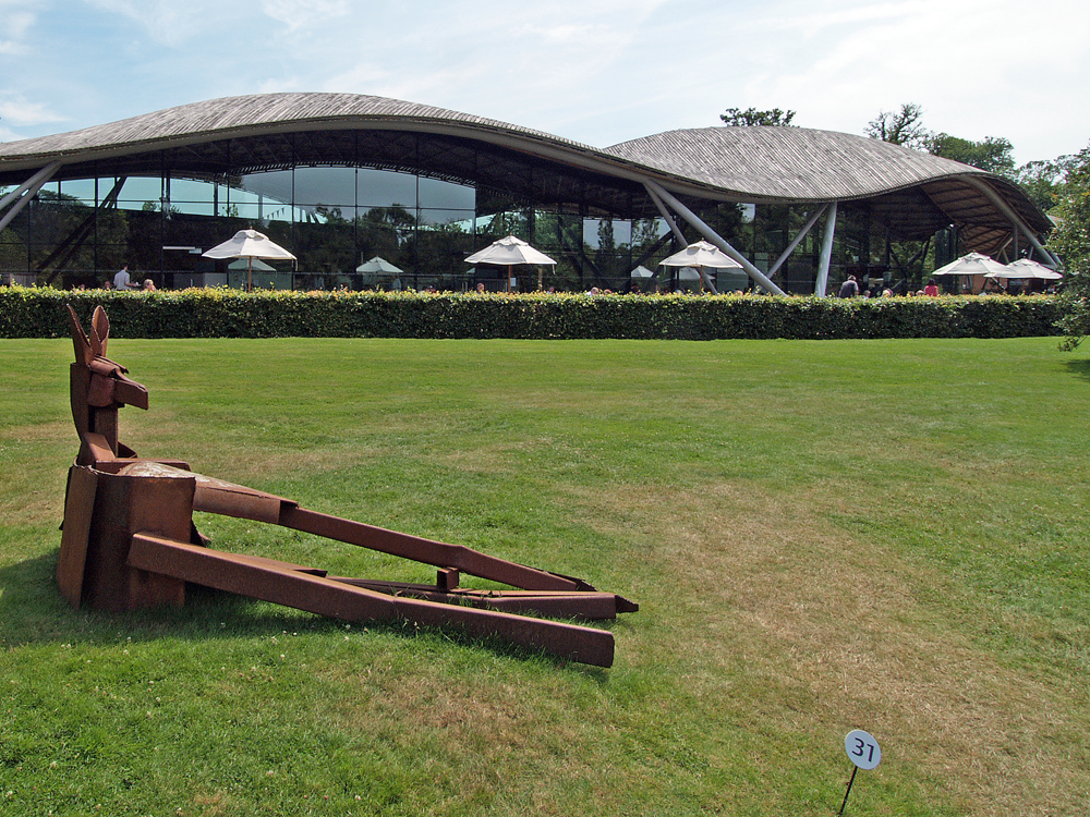
    Savill Garden: the new entrance to this garden was built in 2006 and features a grid shell construction inspired by a seashell. The building is a single cell space under a leaf-shaped roof made of sustainable timber.
  • Fine weather ahead from today

    Fine weather ahead from today

    Friday 8th August
    Thursday morning saw the thermometer steadily rise to a peak of 23.2C early in the afternoon, rather than later in the day as usual in the summer, due to greater cloud cover that had drifted across after around 13.30. The peak of 23.2C, logged at 13.46, was 1.1C above my long-term average. The past night was also mild and above average at +1.7C with a low of 12.9C logged at 05.12 early Friday.

    The start to Friday revealed the day had begin with sunshine, but muted, due to thin, high cloud, however, after 08.00 the sun began to gain in strength that had lifted the temperature to 16.8C by that time, which made it the warmest start to a day at that time this month. The current radar indicates that a thicker band of cloud could limit sunshine for a time mid-morning before drifting away southeastwards.

    The high pressure has begun to build again so much fine weather ahead being a couple of degrees above average over the weekend. From Sunday, temperatures will begin to rise across southern parts of the UK, as the remnants of Tropical Storm Dexter, draws warm air up from the southwest across the UK

    There is considerable confidence “that temperatures will increase markedly by the start of next week, reaching the low 30s Celsius in parts of England on Monday and perhaps the mid 30s in a few places on Tuesday. However, the length of this warm spell is still uncertain, and it is possible that high temperatures could persist further into next week, particularly in the south.” Taken from a Met Office email this morning.

    The Savill Garden is an enclosed part of Windsor Great Park, created by Sir Eric Savill in the 1930s. It is managed by the Crown Estate.

  • Weather fronts return today as the weather pattern alternates

    Weather fronts return today as the weather pattern alternates

    The strong sunshine on Wednesday returned the maximum temperature back above my long-term average with a peak of 23.8C at 16.42 being +1.6C. The UV level was in the ‘High’ category again, exactly as on Tuesday, although after the recent light rain on Monday, the evaporation rate returned to in excess of 4mm per day. Also returned to above average was the overnight minimum of 13.6C logged at 05.32 early Thursday, just before the sunrise at 05.39 in Marlborough. The humidity level was very low in the strong sunshine during the afternoon with a low of 38.5% logged at 15.44.

    Thursday began with weak sunshine from the eastern horizon but by 06.30 this had been obscured by thickening cloud ahead of two weather fronts today. There could be glimpses of brief sunshine between breaks in the cloud at first. A weak warm front precedes a cold front that will mean a predominantly cloudy day with the possibility of a light rain shower, with minimal quantity. The air stream is from the southwest again meaning we are under the influence of the Atlantic, with modest temperatures and higher humidity. A brief shower passed along the Pewsey Vale, just south of Marlborough, at 07.00.

    The ridge of high pressure that gave us the fine weather on Wednesday has receded westwards, as a result the depression near Iceland has taken the opportunity to dominate our weather today. The barometric pressure has fallen a significant 10mb since yesterday with a reading of 1015.9mb at 08.00, the lowest this month. However, by tomorrow we will see the high pressure begin to reassert itself that is likely to be with us well into next week with temperatures increasing, likely to very high early next week, as the pressure builds again.

    The Savill Garden is one of “Britain’s greatest ornamental gardens”. Commissioned by George V and created by Sir Eric Savill in 1932.

  • High pressure in charge – but only for today, after a very chilly start!

    High pressure in charge – but only for today, after a very chilly start!

    The plentiful sunshine on Tuesday lifted the temperature to a maximum of 21.8C at 16.59 but thanks to the brisk northwesterly breeze was just below average at -0.3C. It was a dry day after the rain and drizzle on Monday with the UV rated as ‘High’. I was surprised to see how low the temperature had dropped overnight when the thermometer read 6.2C at 06.07, half an hour after sunrise at 05.38 in Marlborough, being a significant 5.0C below my long-term average.

    There was thin cloud cover before 05.00 on Wednesday but that steadily eased way eastwards after that time with the sunshine gaining strength around 08.00, which had lifted the temperature to 11.2C by 08.00. This made it the coolest start to a day at that time since 21st May. The air stream has backed into the southwest for a couple of days, so more of an Atlantic feel to the air stream, less heat but humidity a little higher.

    Another day of high pressure will today bring us a fine, dry day but by Thursday this will have lost strength as a depression to the north begins to take charge with more cloud and thus less sunshine and lower temperatures but not much likelihood of any precipitation.

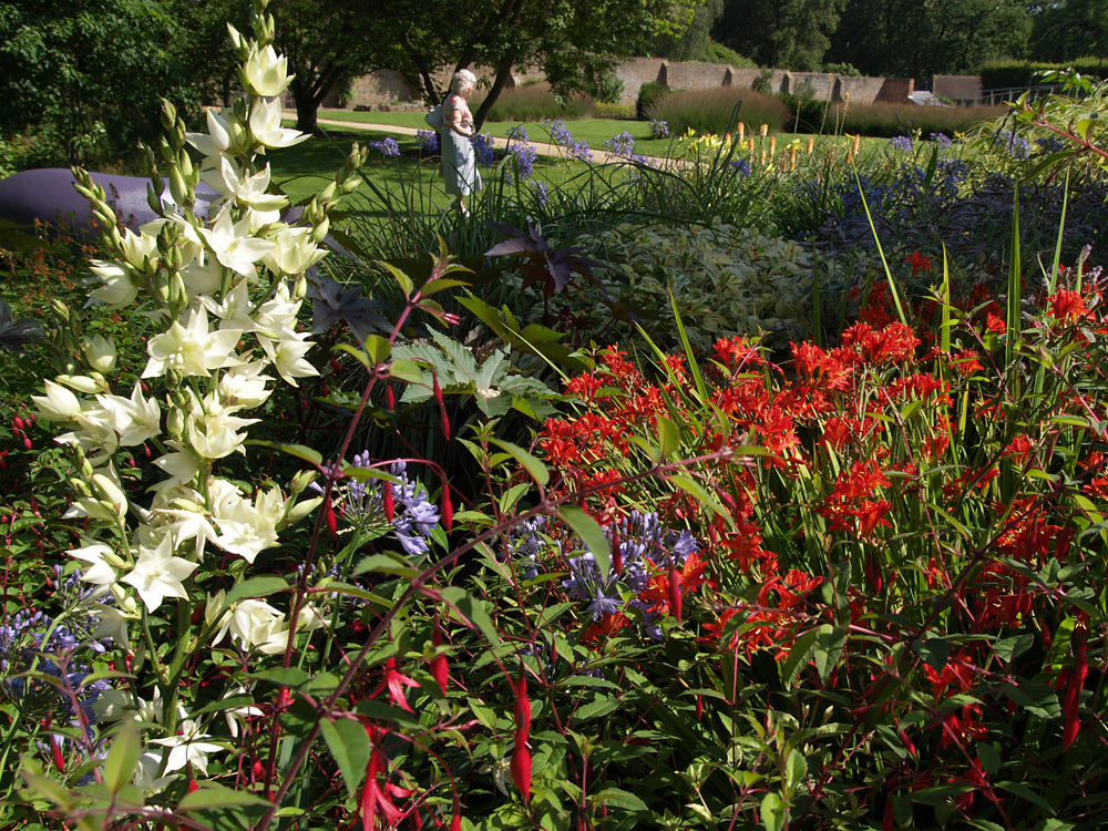
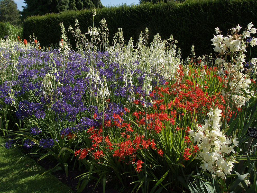
    The Savill Garden. For the next week or more I will attach images from a summer’s walk around The Savill Garden, which is a 35-acre haven of gardens, woodland and seasonal displays.

  • Not a weather front in sight today!

    Not a weather front in sight today!

    Tuesday 5th August
    After a dull and murky start to Monday, thanks to Storm Floris, the cloud thickened late morning as the weather front crossed our area, that produced just a few spots of rain at 11.30 although more consistent but very light rain and drizzle were observed from 14.05 for nearly two hours. However, the quantity of precipitation was minimal with a total of just 1.2m. The weather front also meant subdued temperatures with the maximum reached at 12.40, rather than late afternoon as in summer, due to the thick cloud. The high of 21.9C was just 0.2C below the August average. As is usual the temperature fell away in the early hours of Tuesday with the minimum of 11.1C reached at 06.07, just half an hour after sunrise in Marlborough at 05.36.

    In direct contrast to Monday, Tuesday arrived with glorious sunshine that had lifted the temperature to 15.2C by 08.00. The day ahead will be dry with much sunshine as a ridge of high pressure has built in behind the weather front with the barometric pressure having risen 6mb since Monday as Storm Floris is now visiting Norway.

    Although breezy on Tuesday the removal of Storm Floris to Norway has seen not only the pressure rise but the isobars have begun to widen thus the pressure gradient has reduced, which will bring a less breezy day on Tuesday. Isobars are lines of equal pressure that can indicate wind speed and direction. They are like contour lines on a topographic map. Winds tend to blow parallel to isobars circulating counterclockwise around low-pressure ares in the Northern Hemisphere.

    Thankfully, the bug that recently meant it took ages for the website to publish each day, also updates to be ignored, has been cleared.

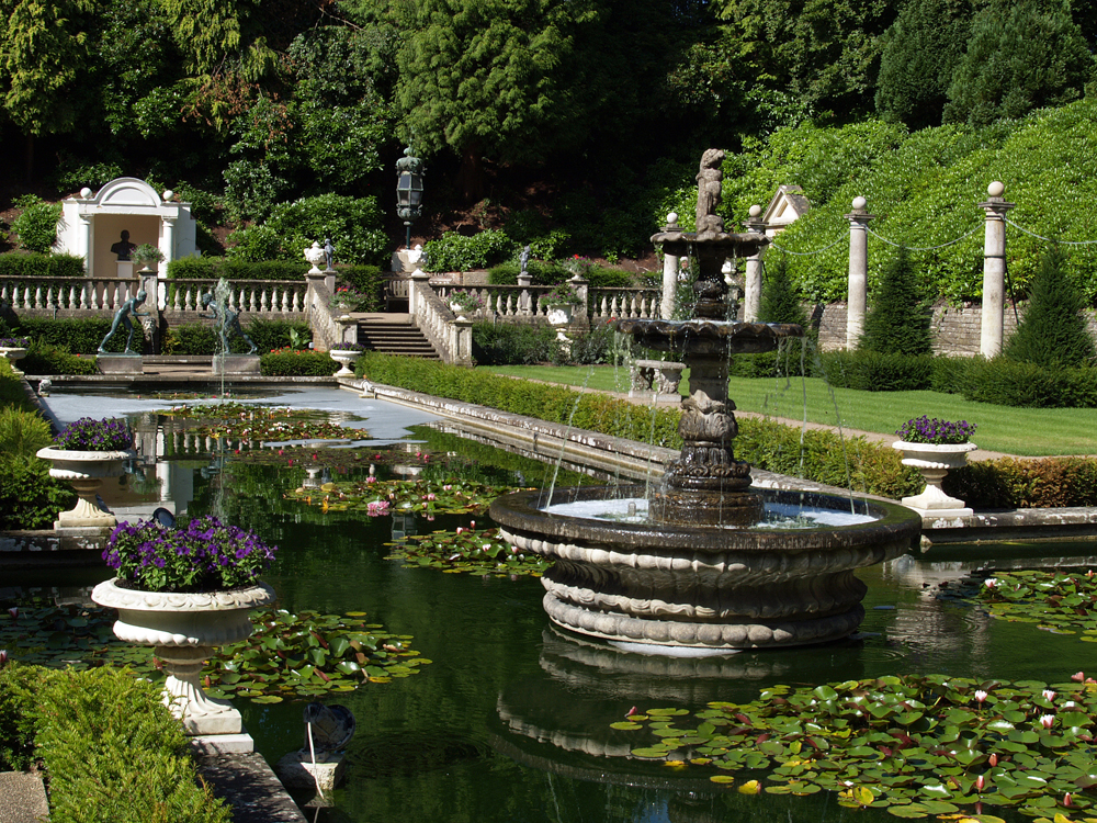
    This will be the last of the images from Compton Acres near Poole. Tomorrow I will start to a new series of images when we take a summer stroll through the Savill Gardens near Windsor Great Park.