Monday 13th October
Sunday was a day best forgotten, cloudy and very cool. The thick cloud lasted for most of the day until at 15.45 when there was a brief brightening then a brief burst of weak sunshine at 16.25. The maximum of 11.2C was very low and was logged at 12.44, being 3.7C below average. In fact it was the coolest day for seven months after 10.7C was recorded on 27th March. It has been an unusual period overnight as the temperature slowly fell away to reach a low of 5.8C at 20.55, it then rose over a degree to 7.2C before falling back to 5.6C at midnight. After that time there was a steady rise in temperature to reach 10.7C at 08.00. This will have been due to the thick, low cloud again drifting in from the east that produced occasional very light drizzle starting just after 04.00, the automatic rain gauge was triggered at 04.20 with 0.2mm but the very light nature of the precipitation would indicate that the drizzle began probably began to fall around 04.00. Another 0.2mm was logged just before 07.30 making a total of just 0.4mm over the past twenty-four hours, the first precipitation since the 3rd.
After first light on Monday the thick, low cloud was evident that had brought the drizzle and was again draping the Marlborough Downs and Savernake Forest with visibility restricted to around 1,000m.
The high pressure is still resident over the UK and is still trapping a large area of cloud under its dome.
The Jet Stream track is currently showing an “Omega” pattern. There is a low-pressure to the west in mid-Atlantic and another to the east over Russia with the anticyclone resident over the UK between the two. The track of the Jet Stream sees it loop below the Atlantic ‘low’ then rising above and around the top of the UK ‘high’ before dropping back again under the Russian ‘low’.
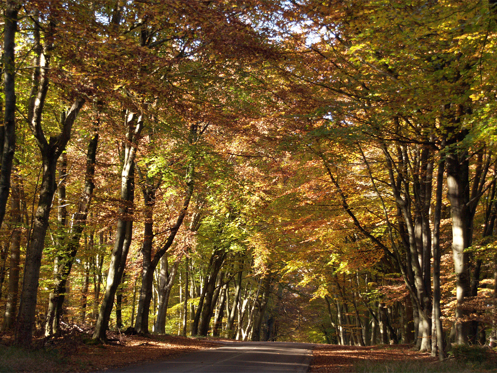
Savernake Forest. The forest is privately owned but is largely accessible to the public for walking and enjoying its rich history and wildlife.