Monday 15th September
After a dry morning on Sunday the clouds built up with bands of showery rain arriving just before 14.00 that persisted into the evening. The sky then cleared with dry conditions overnight until just before 06.00 early Monday when a line of showers arrived from the southwest, travelling just to the north of Marlborough, with their southern edge producing brief, light rain here. The daily precipitation amounted to 8.6mm. That additional rainfall has taken the monthly total to 80.8mm or 110% of my 41-year average, making it the first above average monthly rainfall since February.
It was not surprising to find that the maximum of 17.2C was 1.8C below average due to the could and rain on Sunday, however, the peak occurred early in the evening as the cloud eased away and the sky briefly brightened. A minimum of 12.6C was logged at 06.04 early Monday, just before sunrise at 06.41 in Marlborough.
The start to Monday revealed a sky covered in clouds scudding across the sky although by 08.00 breaks were appearing in the cloud cover allowing weak sunshine to appear. The radar clearly showed the broken band of shower clouds drifting from the southwest, just to the north of Swindon then, with waiting in the wings a larger and more intense shower cluster, currently drifting closer to us across Somerset, that could arrive here mid-morning. It is a windy start to Monday with the wind forecast to increase this morning with a peak early afternoon. The depression is forecast to slowly drift across Scotland towards the North Sea as the day progresses that will result in the wind veering from south-southwest to west this afternoon.
A brief ridge of high pressure is likely to form behind the depression, although this will be just for Tuesday, before rain and strong winds return on Wednesday.
The past two days has seen a a tropical wave form off the Cape Verde Islands, where these usually originate, and moving slowly westwards north of the Bahamas, that today is forecast to have a 80% chance of forming a cyclone. The last one two weeks ago eventually fizzled out. This new development will be closely watched as the sea temperature just north of the Bahamas is currently 31C when a minimum of 26C is needed for a hurricane to form.
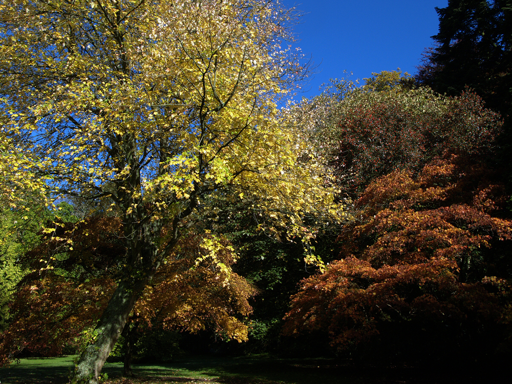
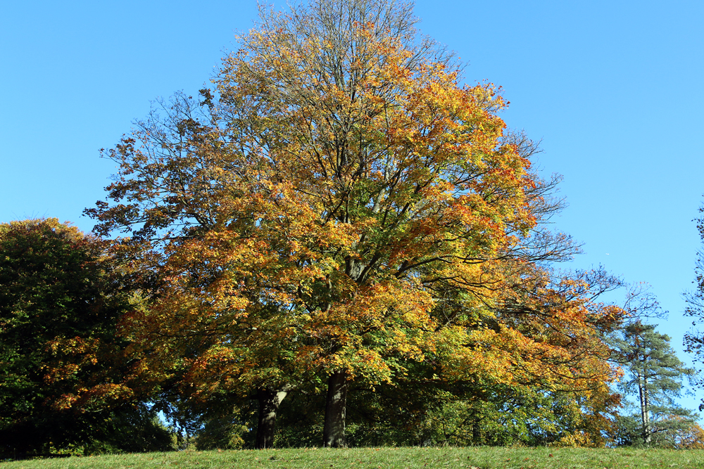
Westonbirt Arboretum. Today is the first autumnal image from a series of pictures I took at Westonbirt Arboretum some ten years ago. The colours deepen as the autumn progresses into October.