Windrush Weather

Category: Commentary

  • Fine weather for four days this week.

    Fine weather for four days this week.

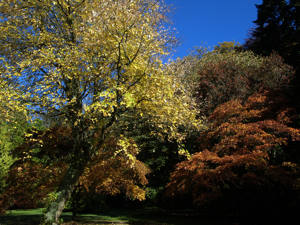
    Monday 29th September
    There was welcome sunshine on Sunday after the two previous dull, cool days that saw the thermometer rise to 17.1C at 15.10, before the sun began to lose its strength, however it was sill 1.9C below average. The hang-back of cloud from the overnight weather front began to thin and break up mid-morning allowing broken sunshine that lifted the temperature. The day was dry after the early morning rain and the peak UV level was ‘Moderate’.

    Under clear skies and calm conditions the thermometer plummeted in the early hours of Monday to reach a low of 0.7C at 07.19, just after the sunrise in Marlborough at 07.04, being a significant 8.0C below average, which made it the second coldest night this month after a low of 0.4C on the 23rd.

    There was very welcome and glorious sunshine after sunrise on Monday morning that began to lift the temperature so that within an hour the thermometer read 2.9C at 08.00, still a very cool start to the new day.

    The past twenty-four hours have seen the barometric pressure continue to rise with a reading of 1026.0mb at 08.00. The Azores High is ridging across to the old large area of high pressure over Scandinavia that will give us four days producing sunny intervals resulting in higher maxima.

    Researchers from Newcastle University, the Met Office and the University of Bristol, used high-resolution climate simulations to explore the future of hailstones. The results show a decline in the number of severe hailstorms across most of Europe, but when hailstorms strike, the stones are likely to be larger.

    The forecast track of Hurricane Humberto, currently to the north of the Caribbean, suggests it could arrive in the eastern Atlantic much further north than the recent Hurricane Garbielle, that fizzled out off the coast of Portugal, being much closer to the UK. If it does it could bring a major change to our weather over the weekend. However, these storms lose their strength as they travel across cooler sea areas compared to the tropical seas where they formed.

  • First rain for a week, but minimal. Could be the last for a week.

    First rain for a week, but minimal. Could be the last for a week.

    Sunday 28th September
    Saturday was another dull and dreary day although during the late morning and occasionally in the afternoon the sky briefly brightened but no sunshine. This meant another cool day with depressed temperatures during daylight hours with a maximum of 15.4C logged at 14.53, which was 3.6C below average, the eighth consecutive below average maximum. During the evening, just after 21.30, I noticed the temperature edging upwards from a low of 11.7C reaching 13.2C at 05.45 before falling back a trifle, that has resulted in a temperature of 12.5C by 08.00 on Sunday, due to the air coming from the south for a few hours. The exact same minimum was also recorded at 00.46 early Sunday as the temperature fluctuated during the night.

    Sunday morning brought light drizzle shortly after 05.00 with more persistent, light rain starting at 06.50 and stopping just before 08.00 that produced a total of exactly 1.0mm. This was the result of the cold front passing over the UK, that arrived later than forecast, but it had narrowed and thinned on its journey. As the cloud from the back edge of the weather front eases away eastwards the sun should reappear towards midday lifting the temperature.

    There are already signs of the recent cold, and cloudy conditions about to turn around. The forecast is for another Azores High to begin to develop and fill sending a ridge northeastwards across the UK that will link up with the old anticyclone, now over Scandinavia. As a result of these changes, from Monday there will be sunshine again and temperatures by day recovering to around average or just above the early October average, also much less cold by night, the days being dry. The barometric pressure is already beginning to rise slowly. As these changes take place the air stream will come from a northerly quadrant during Sunday and Monday before changing again to come from a southerly quadrant for the rest of the week, a much warmer direction.

    The total rainfall for September, measured from my Met Office standard copper rain gauge, now stands at 79.5mm compared to my long-term 41-year average of 66.9mm. Set against that precipitation total, an equivalent rainfall total of 50.8mm has been lost through evaporation from ground sources and plant life.

  • Cool, very cool!

    Cool, very cool!

    Saturday 27th September
    Friday was a day best to forget, weatherise, as it was overcast all day that limited any rise in warmth as the maximum of 13.6C was a significant 5.4C below average logged at 14.22. It was also very cool overnight with a minimum of 5.6C logged at 04.59 early Saturday, which was 3.1C below average.

    We have now experienced a week with maxima below average, sometimes significantly below average, also a week with every minimum temperature below average with ground frost in the early hours of two days, all thanks to the plume of Arctic air brought on a northeasterly air stream.

    Saturday arrived very dull with misty conditions having developed in the early hours, which will take a time to clear. In fact it will be a mainly cloudy, cool day although the air steam having veered into the southwest should mean a slightly warmer day, but not average.

    The periphery of the high pressure has weakened further that will allow a cold weather front to cross the UK later today, which will increase the cloud cover and possibly bring light precipitation in the evening although the front is narrowing on its eastwards track.

    The future next week looks much brighter with the possibility of high pressure returning that will produce a sunnier and warmer week.

  • Encroaching cloud wins the race this morning.

    Encroaching cloud wins the race this morning.

    Friday 25th September
    The variable cloud on Thursday allowed the strong sunshine, during breaks, to lift the temperature to the highest since Saturday with a maximum of 17.7C at 15.10 before the cloud built again. The high was 1.3C below average and the sixth consecutive maximum below average. The wind continued from a northeasterly direction and was quote brisk at times with a maximum gust of 22mph. The past night was another cool night with a minimum of 2.1C at 07.14 being a significant 6.6C below average.

    After dawn on Friday I observed a band of cloud on the eastern horizon, which at that time was very slowly edging westwards. I had hoped for the sun to rise above the cloud bank, even for a short period, that would result in brief sunshine to give lift to the early morning temperature but the cloud began to encroach ever faster with the sun losing out on the race to get above the clouds, that were overhead by 08.00. The temperature at 08.00 had lifted very little from the minimum to reach 2.8C. Cloud has been drifting in from the North Sea overnight, picking up moisture on its travels, that will likely mean little or no sunshine on Friday, the humidity at 08.00 read 94.3%, the highest at 08.00 for over a week.

    The recent anticyclone continues to weaken and drift further over Scandinavia, there has been a further drop of 4mb since yesterday. This slight relocation will result in the air stream today veering into the east and southeast as the day progresses, a slightly warmer direction than recent days.

    It looks as of the anticyclone will leave sufficient high pressure to keep the encroaching weather front from crossing the country on Saturday until the evening and by then it will have weekend substantially with little prospect of much, if any precipitation, as it fragments.

    The further outlook seems to suggest that a modest high pressure will form over he Azores and linkup with our old anticyclone that will result in the return of sunny and dry weather for much of next week with little prospect of much rain for the dry gardens.

    Ex Hurricane Gabrielle, now off the coast pf Portugal and much weakened, is being succeeded by ex Tropical Storm Humberto in mid-atlantic that has just been upgraded to a Hurricane with sustained speeds of 75mph.

  • Fine and dry until Saturday

    Fine and dry until Saturday

    Thursday 25th September
    The pesky northeasterly breeze continued to bring cool air over the UK on Wednesday that again restricted the temperature rise to a maximum of 16.3C at 15.29, being 2.7C below average. Cloud built up around midday for a couple of hours or so before late afternoon sunshine ended the day on a bright note. It was the fourth successive dry day with the UV level at its peak just into the ‘Moderate’ level.

    Clearing skies overnight again meant a cold night although unlike previous early mornings the minimum was not around sunrise but was just after midnight at 01.42. Over the next two hours the thermometer slowly crept upwards to hover round 5C until an hour after sunrise when it then reached 6.3C by 08.00.

    Thursday began bright although the sunshine was initially limited by a band of cloud on the eastern horizon that had drifted in across the London area from the North Sea. The sun began to rise above the cloud just after 07.00.

    The recent anticyclone continues to ease away over Scandinavia but will still be the driving force for our weather over the next two days, blocking the advance of a weather front forming in the eastern Atlantic. However, by Saturday it will have moved much further away thus allowing the Atlantic depression to edge closer with a cold weather front likely to cross the country during daylight hours with possible precipitation, quantities difficult to estimate as the front is likely to thin and fragment on its journey across land.

    The first signs of a significant change in weather pattern will be on Friday afternoon when the wind direction will veer from the recent northeasterly to east and southeast that will have collected more moisture from its crossing of the North Sea resulting in cloudy conditions with minimal sunshine.

    Ex tropical storm and Hurricane Gabrielle will slowly fizzle out as by the weekend it reaches the shores of Portugal and Spain. The cooler waters will have deprived the weather system of much energy.

    There is evidence of coppicing at Westonbirt Arboretum from 1292. First use of the name “Weston Birt” was in 1309. This was taken from Weston, a settlement to the west of Bowlden Road, and Birt from the lord of the manor, the Bret family.