Friday brought intense sunshine that resulted in the temperature steadily rising all day to reach a maximum of 27.7C at 16.12, which was exactly 5C above my long-term average. It was also the hottest day since the last day of the heatwave on the 13th being just above the heatwave threshold for Wiltshire of 27C. The UV level rose to 7.1, the strongest for a week and into the ‘Very High” category. The persistent overnight cloud cover meant a very mild night with a minimum of 15.9C at 06.36 early Saturday.
The first look at Saturday revealed thick cloud cover. The back track of the cloud and rain radar showed a warm front had passed our way in the early hours that brought low cloud and drizzle between 05.30 and 06.00, which amounted to 0.1mm. This amount was not sufficient to trigger the automatic rain gauge that works on increments of 0.2mm, which is why I continue to use the standard Met Office 5″ copper rain gauge that uses a measuring jar inscribed with 0.1mm intervals.
The high pressure has retreated a little that will allow another weather front, this time a cold front, to pass over the UK during Saturday morning. There is a possibility that this front might produce a light shower or two but it is already fragmenting over the west country. The barometric pressure has dropped 3mb since yesterday, however, it is likely to be the dominant feature driving our weather over the next few days with sunny intervals, variable cloud and maxima around or just above average for July.
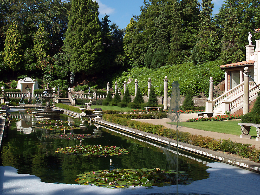
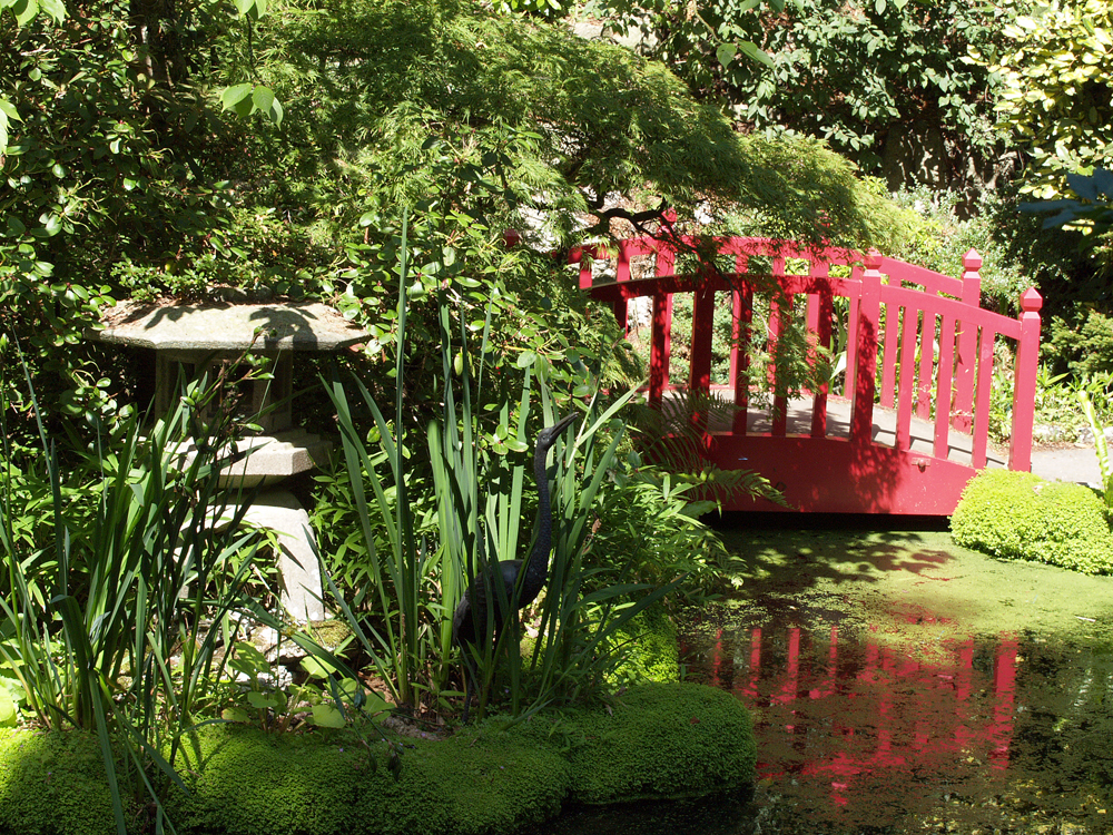
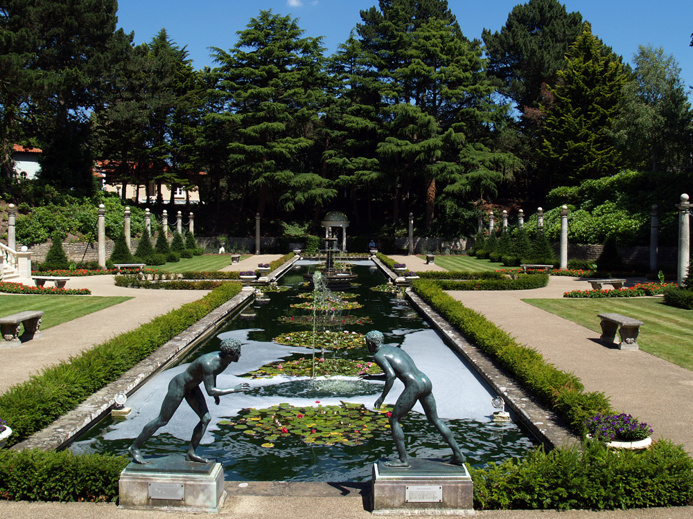
Compton Acres, where I captured this wild life, is a “hidden treasure in Poole with 10 acres of stunning gardens filled with shrubs, trees and flowers”.


