Windrush Weather

Author: Eric Gilbert

  • Moist Atlantic air gives relief to start the new day

    Moist Atlantic air gives relief to start the new day

    Thursday 14th August
    Thankfully, the rise in temperature on Wednesday was restricted by thin high cloud that thickened late afternoon, as a result the thermometer reached a maximum of 25.8C, down 7C on the Tuesday peak. This high was the lowest since last Saturday and outside the Heatwave threshold although 3.7C above my August average. The UV factor was also down being the lowest this month with a value of 5.0, at the bottom end of ‘High’. The minimum of 14.7C was logged at 04.02 early Thursday, which was 3.5C above average.

    Thursday arrived with low cloud draped over the Marlborough Downs and Savernake Forest. This moist, warm air had been brought on the southwesterly air stream after it had travelled over the eastern Atlantic. There was restricted sunshine due to the variable cloud first thing although after 08.15 the sun did begin to break through the occasional gap. The humidity reading at 08.00 was 92.8% being the highest this month.

    The high pressure will relocate and change in area as the day progresses that will see the breeze veer towards the west-northwest later today and then northeast tomorrow, whilst the barometric pressure begins to build once again. The pressure reading at 08.00 was 1017.7mb and rising slowly.

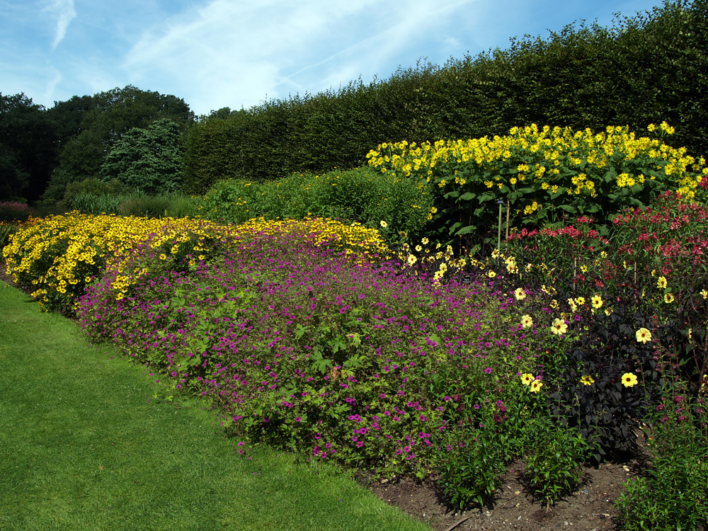
    The Savill Garden includes the Hidden Gardens, Spring Wood, the New Zealand Garden, Summer Wood, The Glades and Autumn Wood.

  • Health Heat Alert continues until 1800 today

    Health Heat Alert continues until 1800 today

    Wednesday 13th August
    We have now officially had a heatwave with three successive days that saw the thermometer rise to a maximum equal to or above 27C, the threshold for Wiltshire. In fact, the thermometer climbed steadily all day under relentless sunshine, but particularly the heat from the Continent, with a maximum of 32.8C logged at 16.46 being a significant 10.7C above average. This was the fourth heatwave of the summer. The intense heat was principally due to the the Continental air as the UV level of 5.2, at the bottom end of ‘High’, was the lowest this month whilst the peak solar of 773W/m2 was the second lowest this month, due to thin, high cloud.

    The heat was very slow to dissipate during the evening, dropping to 25C at 20.52 and 23C at 21.45, with a temperature of 22C at 22.24. The thermometer eventually reached a minimum of 16.4C at 05.55 early Wednesday.

    Wednesday arrived quite dull under a veil of low cloud that had formed fog in the early hours with visibility down to 500m in the River Ogg valley but perhaps 1,000m elsewhere, that slowly cleared but left misty conditions at 08.00. With no early morning sunshine there was little change in the temperature by 08.00 with the thermometer having only risen a little to 17.1C. The wind has veered from the east yesterday to southwest today, as a result we come more under the influence of the Atlantic than the dry, hot Continent.

    The anticyclone continues to edge eastwards over Poland with a ‘slack’ low pressure area edging in towards the West Country. The combination has brought in overnight the very humid air that read 91.0% at 08.00. However, we are still principally under the influence of the high pressure that will continue the fine, dry and calm conditions.

    The loss of equivalent rainfall, through evaporation from ground sources and plant life, reached 4.7mm on Tuesday. The loss for the month now stands at 41.6mm against the actual rainfall of 3.2mm.

  • A trough of low pressure brought cloud and light rain yesterday.

    A trough of low pressure brought cloud and light rain yesterday.

    Tuesday 12th August
    Hottest day and warmest night. The temperature rise was relentless on Monday that saw the thermometer reach a peak of 29.7C at 15.16 being a significant 7.6C above my long-term average and the hottest day since 12th July (31.0C). A trough of low pressure, with associated cloud, then began to filter across that halted any further rise although thermometer then settled about 28C for several hours under calm conditions. The past night was mild under the blanket of cloud for most of the night that restrictedly the loss of warmth into the atmosphere, thus a minimum 16.2C was logged at 05.49 at the time of calculated sunrise.

    The first rain drops were observed from the thickening cloud at 18.10, but only a few drops. The air has been very dry so often the first light rain in these recent conditions can dry up as they fall. More consistent but light rain began at 21.30, for a brief period, but then a little heavier and longer from 00.30 to 02.00, that produced a total of 2.0mm.

    Tuesday began with the back edge of the weather front blocking out any sunshine until 06.30, that then lifted the temperature to 19.2C at 08.00, which made it the warmest start to a day this month at that time. However, residual thin high cloud limited the rise in temperature for the first part of the morning. This is likely to be the hottest day of the week.

    The anticyclone has edged further towards the Continent that will today bring an easterly flow of air, later backing into the south. The barometric pressure has fallen a significant 9mb since yesterday as a low pressure edges in from the Atlantic, but not sufficiently close to affect our weather today. The pressure reading at 08.00 in Marlborough was 1015.5mb. Without any weather fronts or troughs, today will be very hot.

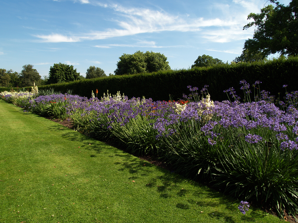
    The Savill Garden is “a hidden gem in the heart of Windsor Great Park, commissioned by King George V and establish in 1932 by Eric Savill”.

    Update at 15.30: Temperatures reached today…….

    27C at 11.01
    28C at 11.22
    29C at 11.58
    30C at 13.19
    31C at 14.07
    32C at 15.26
    32.8C at 16.46

  • Heat continues to build on Monday after a cool start

    Heat continues to build on Monday after a cool start

    Monday 11th August.
    The temperature soared higher than expected on Sunday with a maximum of 27.4C, logged at 16.31 under strong sunshine. In fact the heatwave condition of 27.0C was reached at 16.14 with such a peak not expected until today, Monday. The high was a significant 5.3C above my long-term August average and the hottest day since 25th July (27.7C). Looking at the back track of temperature it was a steady increase all day with a slight increase of cloud around midday that tempered the rise for a couple of hours. Under a clear sky the thermometer dropped to a minimum of 9.7C at 05.31 early Monday, just before sunrise in Marlborough at 05.46. However this halt to the decline in temperature also coincided with variable, high cloud drifting in from the west just after 05.00.

    The start to Monday revealed high, thin cloud that initially tempered the rise in temperature, however, bursts of strong sunshine before 08.00 meant the thermometer had risen to 17.7C by 08.00, the warmest start to a day at that time since 17th July (21.2C). More variable cloud arrived after 08.15.

    The high pressure has relocated a little further east that will produce an air stream from the southeast, which will waft hot and humid air from the Continent. Over the next day or two the depression in the eastern Atlantic, just off the Bay of Biscay, will edge northwards. The result will be a combination of the air circulating clockwise around the anticyclone combining with the anticlockwise rotation of air around the depression, which will produce even higher maxima that will confirm an official Heatwave has occurred.

    The heatwave threshold for the Marlborough area is 27C. The maximum yesterday was above that figure, which will happen again today and also tomorrow. Thus we are technically experiencing a heatwave, which is described as three consecutive days with temperatures rising above the heatwave threshold. The original heatwave thresholds were based on the reference climate period of 1981-2010 and were intended to be flexible and revised in the light of climate change, therefore the heatwave thresholds were revised in 2022, using the most recent 1991-2020 climate averaging period, with the local threshold temperature rising from 26C to 27C. The review saw six counties move from 27C to 28C, one from 26C to 27C and one from 25C to 26C, the areas changed were in the south of the UK and the Midlands.

    The Savill Garden is Grade 1 listed on the Register of Historic Parks and Gardens.

    Update:
    26C at 11.25
    27C at 12.15
    28C at 13.37
    29C at 14.29

  • Heatwave conditions arrived today!

    Heatwave conditions arrived today!

    Sunday 10th August.
    For the fourth day in succession the maximum was little different to the three previous days with 23.8C, 23.2C, 23.3C and 23.5C successively, the latter logged at 15.45 on Saturday afternoon, which was 1.4C above average. The morning produced variable cloud cover but that cleared around midday with the UV level of 6.3 being at the top end of the ‘High’ category for the third successive day. The strength of the wind was notable, being very gusty in the afternoon with a peak of 22mph from a westerly direction.

    The moon was exceptionally clear again last night in a cloudless sky that allowed the warmth to dissipate into the atmosphere producing a minimum of 10.3C at 04.55 early Sunday, which was 0.9C below average. Unlike previous early mornings, radiation fog was observed at 06.30 in the River Og valley that began to drift northwards then rose above the higher ground before evaporating by 07.00.

    The sunshine on Sunday at first was muted as it shone through thin high cloud on the eastern horizon but gained strength as it rose with a result the temperature at 08.00 was logged at 15.8C.

    The centre of the high pressure is currently over the English Channel with a barometric pressure locally at 08.00 reading 1028.8mb, the highest pressure since the 4th July. As a result it will be a much calmer day, the wind having fallen out at 01.15 very early on Sunday and still no movement by 08.00. The air movement today will mostly come from the southwest, however, as the anticyclone relocates across the Channel to the Content in the next twenty-four hours it will result in the wind backing into the southeast, which will herald the significant increase in temperature over the next few days as it wafts in heat from the Continent. It is likely that heatwave conditions will be established for several days with maxima up to or exceeding the threshold of 27C for Wiltshire.

    The Savill Garden in Windsor Great Park includes the New Zealand Garden, the Queen Elizabeth Temperate House and trees planted by members of the Royal Family.

    Update at 16.50: Heatwave threshold of 27C reached at 16.15 with a peak of 27.4C at 16.31. It needs three consecutive days of maxima equal to or above 27C to be classed as a heatwave. There is no doubt those conditions will be met in the next two days.