Sunday 19th April
Saturday was a fine, dry day, except for a few large drops of rain that were not measurable, observed falling on me at 18.23! The strong sunshine lifted the temperature to 16.4C by 15.01, being 2.1C above average, before more variable cloud limited any further rise. It has been a chilly night, as forecast, that saw the thermometer fall steadily after around 19.00 with a minimum of 0.9C at 05.43 early Sunday, producing a ground frost.
Sunday began with glorious sunshine after sunrise in Marlborough at 06.04 that should be with us for much of the day but likely to become broken as variable cloud is likely to arise as the temperature lifts.
It looks as if we have three more cool days and very cool nights ahead as the wind has veered into the north today and northeast or east by Wednesday. This is due to the high pressure slowly relocating further north, heading towards Iceland. The air stream coming from that quadrant will have traversed the cold North Sea (average temperature now from 7C to 10C) picking up moisture on its travels, therefore it could drift in some cloud that would mean variable sunshine unless the sun becomes strong enough to burn it off.
We are likely to see temperatures in Marlborough on Monday and Tuesday, before sunrise, close to freezing under clear skies that allowed the warmth from the day to dissipate into the atmosphere aided by calm conditions with little air movement to stir up the atmosphere. It is perhaps relevant to highlight that Marlborough tends to be a little cooler than the surrounding area when the temperature often drops away in the evening. On numerous occasions when returning to Marlborough I notice that the air temperature shown on my car digital display indicates temperature dropping 1C to 2C as I approach the town. Last night was a good example. The Met Office forecast was for the temperature to drop steadily to 4C and then at its lowest 3C, when in fact the minimum was 0.9C. It will be sensible for local gardeners to protect any tender plants out in the open for the next couple of nights.
The forecast indicates that as the high pressure settles much farther north it will be squeezed by two low pressure systems to the northeast and southwest, which is likely to result in a subtle change to temperatures by day and night. They are likely to rise closer to or just above the average for late April as there will be less cloud brought in from the North Sea, combined with the air stream originating closer to the Continent, allowing longer spells of sunshine to lift temperatures.
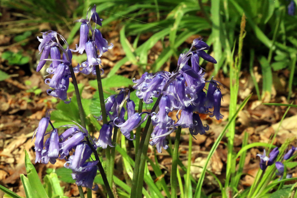
The images for this coming week were taken in West Woods, just outside Marlborough, which is a beautiful woodland site.