Friday 2nd January
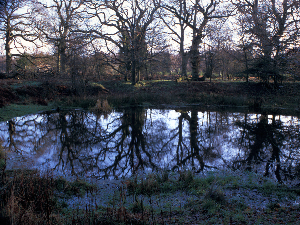
The New Year started on Thursday with the Arctic flow of air continuing, but it was dry. The afternoon was predominantly overcast after midday that limited the rise in temper from a light northwesterly direction, rising to a peak of 5.9C at 14.03 being 1.2C below my long-term average. The cloud also meant no UV light triggered the UV sensor.
The temperature began to fall away after 15.00 on Thursday settling to around 2C until after 23.00, when there was a steady decline to reach a minimum of 0.6C at 01.54. Once again our topsy turvy weather meant the thermometer then began to climb in the early hours to reach a peak of 2.3C at 06.00. This rise in temperature was due to a fragmented area of cloud drifting down from the north that limited the loss of warmth into the atmosphere. With the air temperature just above freezing, and no frost to chill the ground, the possibility of snow and ice on the ground was averted. The soil temperature at a depth of 5cm read 0.8C at 08.00. There was 0.6mm of precipitation since the light rain began to fall at 05.50.
Friday after first light revealed a sky with broken cloud from the back edge of the weather front, however, there are signs showing that as it clears there is the distinct possibility of sunshine from mid-morning. As the sky clears, the temperature has fallen back to 1.3C by 08.30, after a temperature of 1.6C at 08.00.
For the next few days we will be squeezed between the low pressure to the east over the Continent and high-pressure to the west in the Atlantic near Iceland. This will exacerbate the flow of Arctic air that will persist until later on Monday, however, as the pressure builds over the UK the pressure gradient will drop and winds will fall lighter. The anticyclone will attempt to push away the depression thus keeping weather most fronts at bay while the barometric pressure is beginning to rise again signifying less cloud and the possibility of clear skies by day for welcome sunshine, however, the downside will be hard frosts at night.
Weather Review December 2025
The month began where November finished with a flow of warm, moist air from the Atlantic. This resulted in maxima well above average, sometimes occurring at night, as the weather fronts crossed the area. It was also a very wet period with substantial falls on several days, 14.6mm on the 1st made it the wettest day for almost a month.
The second week was very little different with a south-westerly airflow producing temperatures well above average, except for a light frost early on the 13th under clear skies. The rainfall amounts were, however, minimal compared to the first week.
Interestingly, the depth of water in the River Kennet at Winterborne Monkton, close to where the springs rise for the start of the river, started to flow on December 1st before stopping on the 4th at 16.15 when the gauge indicated no depth of water. The gauge then indicated that a flow of water began again on the 5th December at 07.15 and has continued to indicate a level since that time although variable, the highest of 0.19m was logged on the 6th at 04.45. The highs and lows obviously correlate with the wet spells this month. During the drier second week the water level once again fell to zero, logged on the 11th at 23.30.
The unsettled weather that brought the warm moist air continued until just before Christmas. A minor depression formed off the coast of Btittany on the 21st that produced a significant shift in wind direction. For almost the whole month, so far, we have had an air flow from a south-westerly quadrant. Initially, the wind from the east, usually a cold direction, brought the air mass from the eastern Atlantic, with day and night temperatures still above average.
There was a significant change in our weather pattern on the 23rd. The recent depression had begun to head towards the Mediterranean allowing a high-pressure system, that had been building over Scandinavia, to edge over the UK. This resulted in the wind backing further, into the northeast, and that began a flow of much cooler and drier air. There was also a considerable pressure gradient between the two systems that resulted in the wind strength increasing, a maximum gust of 30mph was logged on the 25th. However, this flow of strong, cold air produced a wind chill, which meant outside it felt much colder than that indicated on thermometer.
Up to and including the 22nd every daily maximum temperature was above average, whilst 17 of the minima in December were above average. Up to and including the 23rd, the average maximum was 2.9C above average and the average minimum was 2.6C above average.
The month ended with a mainly gloomy, dull, dry and cool week as maximum temperatures dropped below average due to a persistent northeasterly breeze with little sunshine. On the 30th the wind began to back into the north heralding a much colder period of Arctic air streaming down from the north.
The coldest night of the month occurred in the early hours of the 31st with a minimum of -3.8C.
December had a mean temperature 1.2C above my long-term average whilst the rainfall of 124.4mm was 134% of my 42-year record or + 31.3mm.
Interesting facts for 2025
Coldest Night: -7.5C on 11th January Coldest Day: 0.8C on 4th & 8th January
Hottest Day: 32.9C on 11th July Hottest Night: 18.5C on 1st July
Heatwave: 3 consecutive days equal to or above 27C for Wiltshire: 9th – 13th July
Wettest Day: 25.7mm on 14th November
Longest dry period: 14 days 12th – 25th August
Warmest soil temperature at a depth of 5cm: 27.0C on 12th July
Air Frosts: 40
Highest Solar: 1257 W/m2 on 29th June
Highest Barometric Pressure: 1044.7mb on 6th February
Lowest Barometric Pressure: 971.0mb on 6th January