The strong sunshine on Wednesday returned the maximum temperature back above my long-term average with a peak of 23.8C at 16.42 being +1.6C. The UV level was in the ‘High’ category again, exactly as on Tuesday, although after the recent light rain on Monday, the evaporation rate returned to in excess of 4mm per day. Also returned to above average was the overnight minimum of 13.6C logged at 05.32 early Thursday, just before the sunrise at 05.39 in Marlborough. The humidity level was very low in the strong sunshine during the afternoon with a low of 38.5% logged at 15.44.
Thursday began with weak sunshine from the eastern horizon but by 06.30 this had been obscured by thickening cloud ahead of two weather fronts today. There could be glimpses of brief sunshine between breaks in the cloud at first. A weak warm front precedes a cold front that will mean a predominantly cloudy day with the possibility of a light rain shower, with minimal quantity. The air stream is from the southwest again meaning we are under the influence of the Atlantic, with modest temperatures and higher humidity. A brief shower passed along the Pewsey Vale, just south of Marlborough, at 07.00.
The ridge of high pressure that gave us the fine weather on Wednesday has receded westwards, as a result the depression near Iceland has taken the opportunity to dominate our weather today. The barometric pressure has fallen a significant 10mb since yesterday with a reading of 1015.9mb at 08.00, the lowest this month. However, by tomorrow we will see the high pressure begin to reassert itself that is likely to be with us well into next week with temperatures increasing, likely to very high early next week, as the pressure builds again.
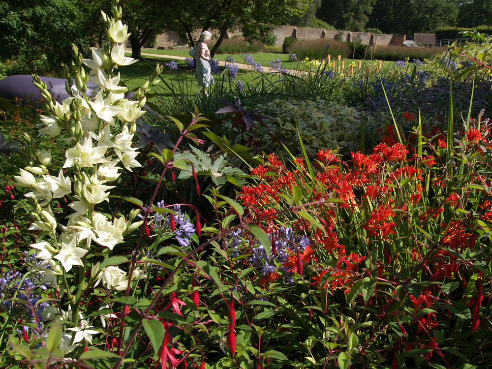
The Savill Garden is one of “Britain’s greatest ornamental gardens”. Commissioned by George V and created by Sir Eric Savill in 1932.
