Thursday 16th October
Wednesday was another day in the succession of gloomy days under thick cloud cover trapped under the dome of high pressure that made it the coolest day this month with a maximum of 10.7C logged at 14.10, which was 4.2C below average. The light drizzle in the morning amounted to 0.1mmm. Usually the temperature eases down overnight but the thermometer appeared stuck at 10.3C for much of the night under the cloud cover, which minimised any loss of warmth into the atmosphere and the soil temperature at a depth of 5cm also read 10.3C, thus a static temperature until just after 03.00 when it began to slowly edge downwards to reach a minimum of 9.3C at 07.54.
Thursday after first light saw a dark area of cloud advancing from the east that produced drizzle at 07.30.
The automatic rain gauge sends a signal to the console for every 0.2mm of precipitation. It is useful to have such a live record although for 41 years my rainfall records have used the standard Met Office 5″ copper rain garage that uses a smaller increment of 0.1mm, thus the precipitation of 0.1mm registered yesterday whilst the automatic rain gauge did not record any precipitation.
The high pressures is already showing signs of relinquishing its domination of our weather having lost 6mb since its high on Saturday with a reading of 1028.4mb at 08.00. It will continue to slowly fall as it changes shape thus the change to the air stream direction from the east today rather than northeast recently. By the weekend it will not be able to resist the eastwards movement of a low pressure system in the eastern Atlantic that will likely bring rain of Sunday.
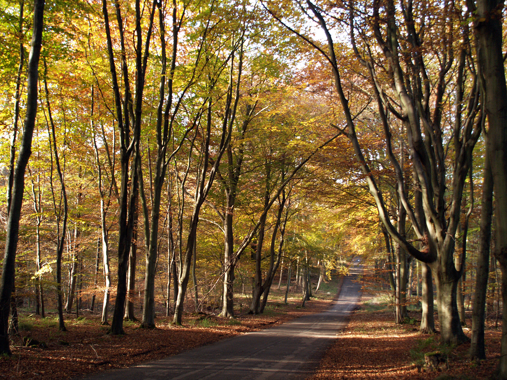
Savernake Forest. The forest’s history dates back to the 11th century and it has been passed down through the same family for generations, with access managed by the Forestry Commission. Another image of the famous Grand Avenue is illustrated in autumn.