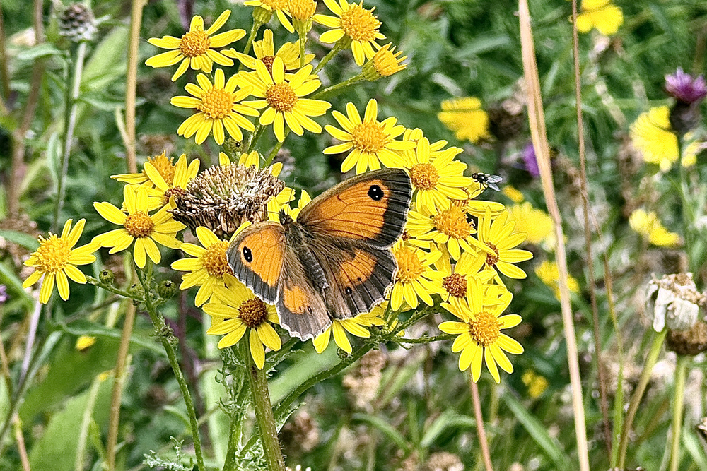
Saturday 8th August
The heat began to build again on Friday, under a predominantly clear sky after a cold start, that resulted in a maximum of 25.2C at 16.31 in strong afternoon sunshine. This peak was 3.6C above my long-term August average. The past night was the second consecutive very cool night due to the clear sky and calm conditions, from unusually late evening after 22.00, and the residual cooler airstream from the northwest. The minimum of 5.8C was exactly 6C below average.
Saturday arrived with sunshine after sunrise that was initially a little muted from fair weather cloud on the eastern horizon, however, by 08.00 the thermometer read 15.9C and was rising steadily.
The soil temperature at a depth of 5cm, read daily at 08.00, has reflected the fall away in retained heat overnight due to lower temperatures by day and night, however, the reverse has seen the heat begin to be absorbed again. The temperatures over the last five consecutive mornings have been 22.9C, 20.7C, 18.7C, 17.1C then today, the beginning of a rise with 19.4C.
The depression to the south of Iceland is still lurking close by that will attempt to throw weather fronts southward across the UK but the high pressure will halt their southwards progression well before they reach northern England. Sadly for gardeners, there seems to be no possible rainfall in the foreseeable future.
The fifth official heatwave of 2026 is about to arrive, that could last a week.
The centre of the recent anticyclone will ease away towards Russia over the weekend, however, all the while the Azores high is beginning to make an attempt at pushing a ridge northeastward across the UK and linking up. The forecast pressure charts indicate that for most of next week we will continue under high pressure that by mid-week could see maximum temperatures rise into the low 30s.