Monday 19th January
The weather on Sunday was abysmal with low, thick cloud all day and falling from that, from time to time, was brief light rain and drizzle that amounted to 2.8mm. However, there was a very slow increase in temperature, eventually reaching a maximum of 8.4C at 15.35. There was a brief fall off before midnight with a minimum of 6.9C at 23.52 before the temperature edged upward again to each 8.2C at 08.00.
The very thick cloud did not allow any sunshine, let alone brief brightness, to raise the temperature significantly. The opposite side of the coin was that it formed a duvet to minimise any loss of warmth into the atmosphere. The diurnal range of temperature, the difference between maximum and minimum, was just 2.7C.
Not surprisingly, the dense cloud meant no UV light triggered the UV sensor, the seventh day this month that has occurred. The maximum solar radiation was just 56W/m2 compared to 316W/m2 on Wednesday last week that was recorded during the brighter conditions. At peak times in the summer peak solar radiation easily exceeds 1,000W/m2. The highest recorded last year during the heatwave was 1,257W/m2 on June 29th.
The recent milder weather has seen some of the warmth be absorbed into the ground with temperatures at a depth of 5cm, being 2.8C, 6.0C, 5.7C and 7.6C respectively, over the last four days.
After first light on Monday it revealed that little had changed since Sunday morning. The cloud was a little higher, with a slight improvement in visibility to around 600m, thicker in the River Og valley. The low base of the cloud meant mist and fog draped the Marlborough Downs and Savernake Forest, little is expected to change during the day. A narrow weather front has been moving up across the spine of the country during the early hours producing patchy rain.
Looking ahead, the possible cold period that was thought might arrive at the end of the week is postponed for a few days. The colder weather is now thought to arrive early next week. The depressions heading across the Atlantic are likely to hold at bay the large area of high pressure over the Continent and Russia for a few more days. This week will continue the unsettled weather under a flow of moist Atlantic, relatively warm air. By Wednesday a very deep low pressure system will arrive, with a forecast centre pressure of 954mb, which will bring strong winds from the increased pressure gradient and possible rain. Temperatures by day and night are likely to continue above average right up to Saturday.
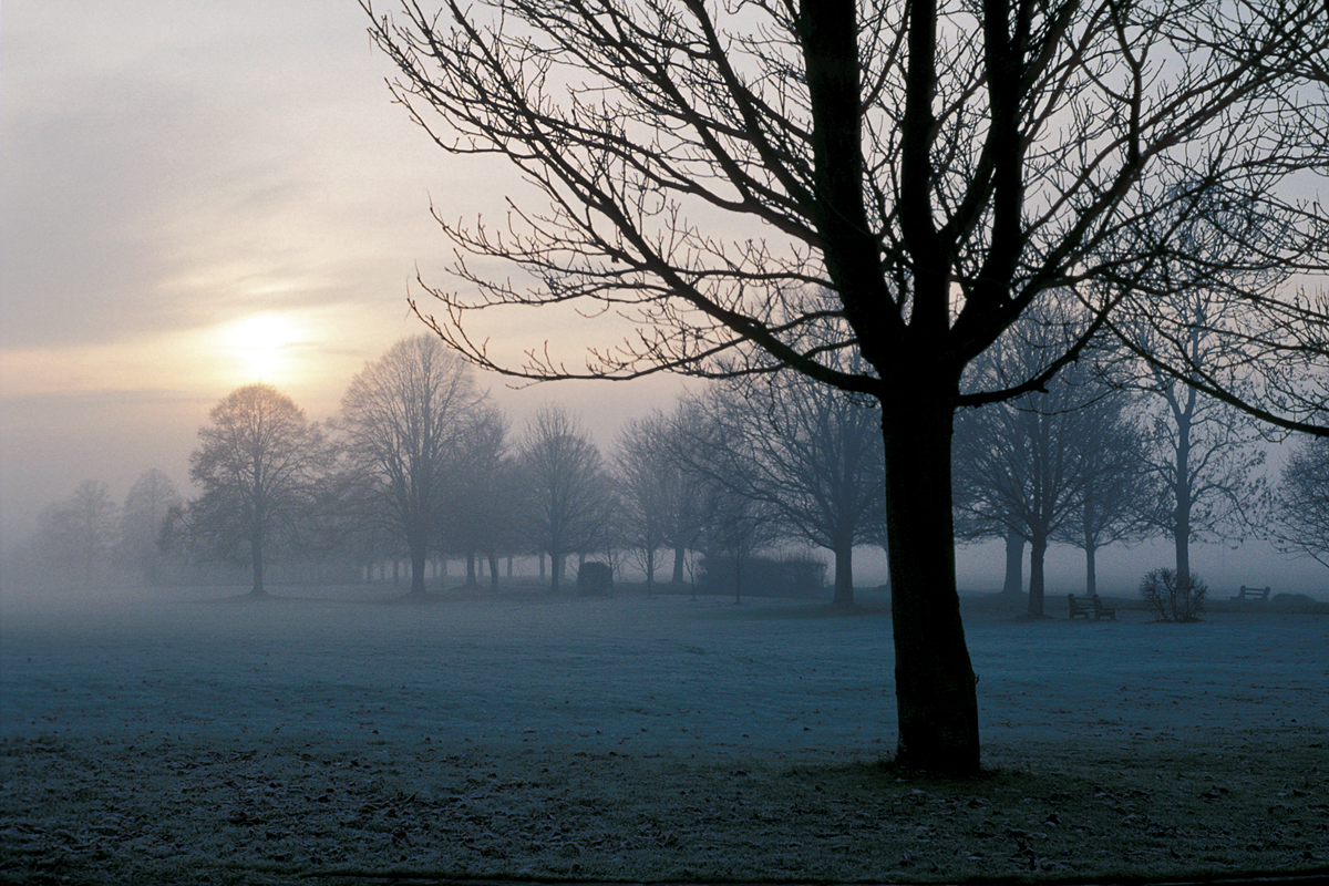
The image was taken on Marlborough Common one misty mooring a few years ago.
