Saturday 10th January
The hang back of cloud from Storm Goretti persisted all day on Friday, however, it was an almost dry day with the exception of the occasional light fall of drizzle.The UV level for the second day did not trigger the UV sensor. The temperature eased upwards very, very slowly to reach a peak of just 3.8C at 12.45 being 3.3C below average. After 17.00 there was a very slow fall off in temperature to reach a minimum of -1.4C at 08.00 Saturday morning. The minimum temperature was 2.6C below my long-term January average.
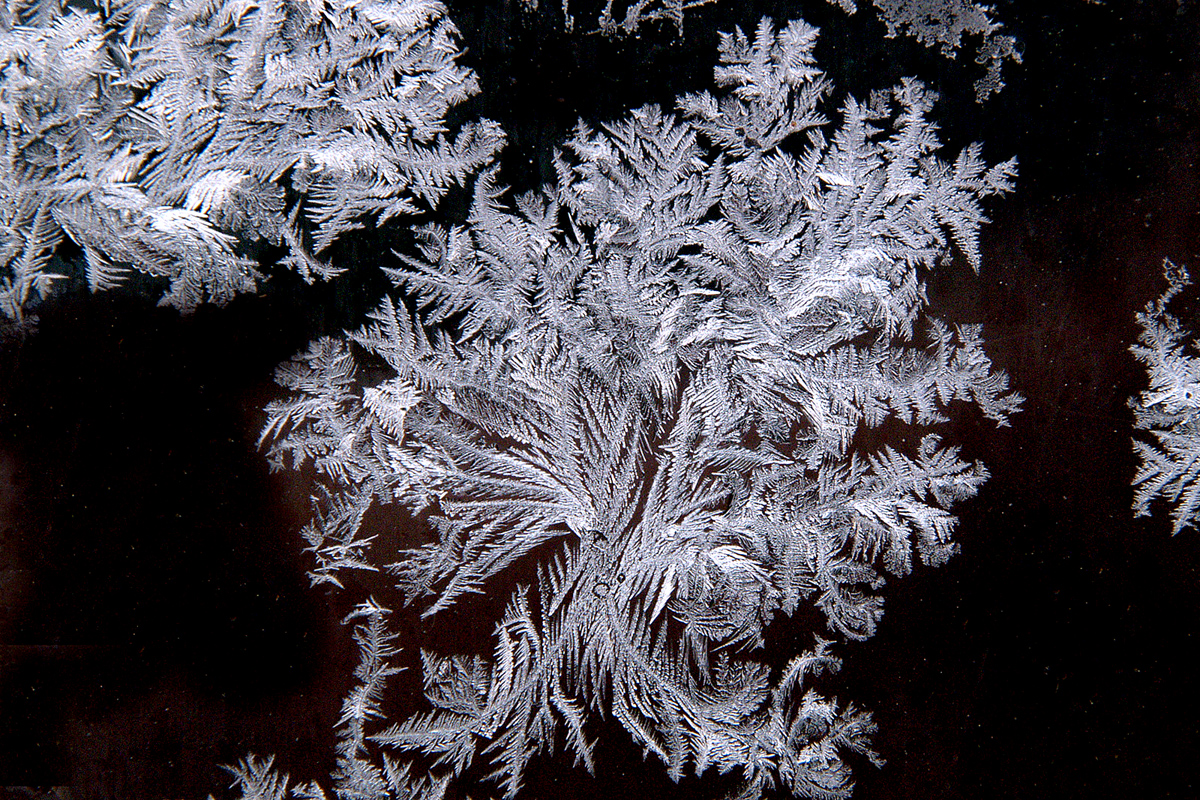
After first light on Saturday, blue skies were in evidence as the last of the cloud had moved away over night, which was why the thermometer was well below freezing at 08.00. The temporary ridge of high pressure over the UK today will produce a dry day, that with clear skies will allow several hours of sunshine, however, this will do little to raise the maximum temperature as we still have residual cold air and the ground is also still very cold. The temperature continued to drop after sunrise reaching a low of -1.7C by 08.46.
The soil temperature at a depth of 5cm read 0.5C at 08.00. Initially tonight, under clear skies, the temperature will drop below freezing to produce a light frost but as cloud drifts in around midnight, the thermometer will make an about turn and show a slight rise in the early hours to a degree or tow above freezing by first light.
Later on Saturday the first indication of changes afoot will see the wind back from the cold northeasterly to southeasterly as the depression edges further away. By Sunday we will come under the influence of another deep depression heading our way from the Atlantic. This will see the wind veer back into a southwesterly quadrant for several days next week.
Sunday is likely to bring us a wet but much milder day as the deep low pressure system approaching the UK throws cloud and rain across the country, whilst at the same time the wind becomes very brisk and veers into the southwest.
By Monday another depression will close in on the UK whilst the previous depression moves north of Scotland. Both of the low pressure systems will stay to the west of Ireland and Scotland. The combined result will be unsettled weather next week with a flow of moist, warmer air off the Atlantic. As a result of the warmer air flow, temperatures by day will be close to the average or on occasions just above and no frosts at night. It will be breezy at times, thankfully there are no signs of gale force winds associated with either of the two weather systems as they stay well off shore.
