Friday 10th October
The high stratocumulus cloud on Thursday limited the sunshine but the warm, moist airstream lifted the thermometer to reach a maximum of 15.2C at 14.50 being 0.3C above average. The maximum occurred just after the peak solar radiation of 552W/m2 at 14.43, approximately half the strength we get in the summer.
It has been a very mild night thanks to the blanket of cloud that provided a duvet to limit loss of warmth into the atmosphere, with a minimum of 12.1C at 06.46 early Friday. That low was quite a contrast to the previous night when a minimum of 3.6C was logged due to clear skies overnight. It was interesting to see that the temperature varied little overnight hovering around 12.6C until just after 05.00 when it dropped a fraction.
Friday revealed another very dull and gloomy start to the new day under a thick blanket of cloud, that is likely to persist for much of the day with little likelihood of much sunshine.
The high pressure has built a little with a reading of 1033.6mb at 08.00, up 6mb since yesterday. Over the next few days the anticyclone will be resident well into next week with calm, dry conditions ahead with little chance of any rain. As the centre relocates a little to the north, the airstream will veer into an easterly quadrant later on Saturday. This situation is likely to continue the stream of moist air, collected from its travels over the Atlantic, before moving around the top of the high before arriving over southern England.
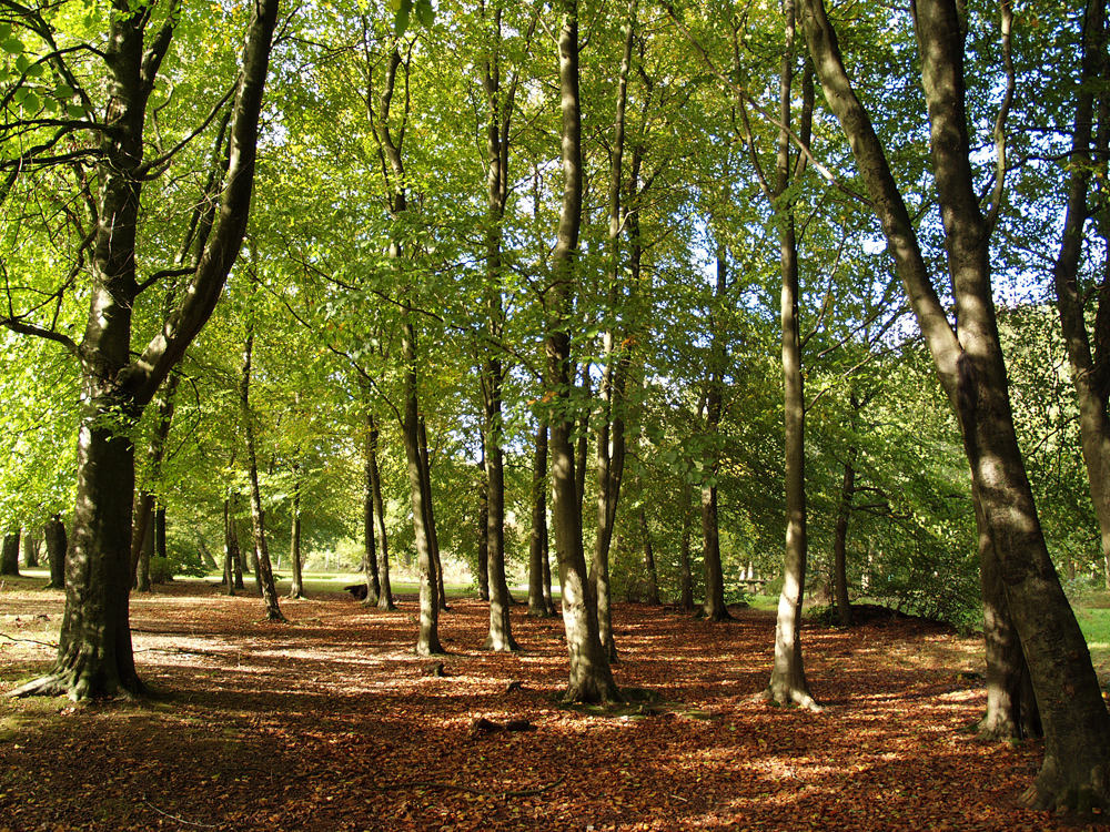
Savernake Forest. As the autumn progresses I will start a new series from Savernake Forest, outside Marlborough in Wiltshire, that has many old trees and a large number of beech trees whose leaves have wonderful colour at this time of year. The first few images will be at the start of autumn.