Under the strong sunshine on Friday, muted late morning and in the afternoon due to thin, high cloud, the temperature rose to its highest at 16.49 with a maximum of 26.2C being 3.9C above average also the warmest day since the 13th. The peak UV of 7.1, which is in the ‘Very High’ category, occurred at 12.37 for just four minutes, during a strong blast of sunshine, an hour before and two hours after that time, was rated as ‘High’. The other significant feature on Friday was the minimal air movement, just a gentle breeze, between calm periods, with the strongest movement on one occasion of just 9mph, couldn’t be called a gust.
Saturday arrived with thick, low cloud and the first rain drops observed at 06.15, that began a short, very light shower until 07.15, that amounted to only 0.7mm. The humidity that was high yesterday, due to the moist, southwesterly air flow, had risen to 91.4% at 08.00 thanks to the disturbed area that arrived overnight. The breeze will be ight again today backing a few degrees from west-northwest in the morning to southwest later today.
The intense, wide rain area that drifted across from the Continent overnight, once again travelled to the east of our region. There were also narrow bands to the west over East Devon, Dorset and Somerset, but a wide dry area in between. Once again I wonder if there is a geographical reason for the repeated pattern of storms arriving from France dividing to the west and east of Central England. It is very frustrating for local gardeners when we are about to come under a hosepipe ban on Tuesday!
This month has brought us the grand total of 12.2mm compared to my 41-year average of 59.8mm.
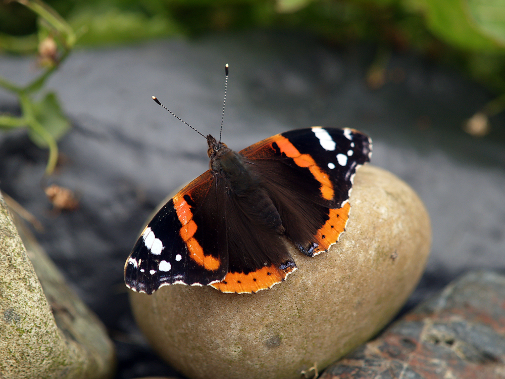
The image is of a Red Admiral warming itself on a convenient stone.