The showers on Friday were frequent and scattered that somehow missed our area for most of the day passing to the north and south, however a minor shower occurred just before 17.00 and another in the early hours that triggered the automatic rain gauge at 04.00, which produced a minimal amount of 0.8mm. The cloud was more persistent as the temperature rose resulting in cloud building up after around midday which was why the maximum of 18.3C was logged in the early afternoon at 13.06 being 0.7C below average. The minimum of 10.3C was recorded at 06.45 early Saturday just after sunrise in Marlborough at 06.38.
Saturday arrived with glimpses of weak sunshine between breaks in the cloud with minimal increase in temperature as the thermometer had only risen to 10.8C by 08.00.
The recent depression is still parked to the northwest of Scotland that will again today drive a multitude of showers circulating over the UK and limit the rise in temperature.
There is now much more confidence that the deep low-pressure system edging in from the Atlantic on Sunday will bring wet and very windy weather but not sufficient strength to make it the first named storm of the season. The Met Office yesterday issued a Yellow weather warning due to the forecast of severe winds in exposed areas. The Met Office spokesman said “Obviously we are in meteorological autumn now; it’s the sort of weather that we do expect at this time of year”.
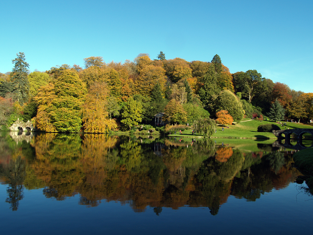
The gardens at Stourhead were designed by Henry Hoare II and laid out between 1741 and 1780 in a classical 18th century design set around a large lake, achieved by damming a small stream.