Tuesday was the last of the very warm and dry days that saw the thermometer rise to 21.4C at 16.01 being 4.1C above my long-term average. It was the last of the consecutive dry days that also saw the UV value rise to 5.8, the highest this month and at the top end of the ‘High’ category. The cloud began to thicken late afternoon and considerably over night that gave us a very mild night with the thermometer not sinking below 10.8C being the second warmest this month and 3.8C above average.
Wednesday after dawn revealed a damp start to the new day, quite a contrast to previous sunny mornings under the anticyclone. A trough of low pressure passed our way during the early hours that brought the thick cloud and light rain and triggered the automatic rain gauge at 03.22. The rain was light and only amounted to 2.2mm, but very welcome for gardeners, after the numerous dry days. This was the wettest day since 22nd April.
A weather front will descend southwards over the UK today and maintain the cloudy conditions with possible sunny intervals this afternoon. With the current unstable atmosphere, there is the possibility of thunderstorms breaking out this afternoon.
The drier and sunny conditions will return for Thursday and Friday as a temporary ridge of high pressure exerts itself. However, by the weekend the weather pattern will become cooler and unsettled with rain likely at times as the Jet Stream is forecast to stream across the Atlantic direct to the UK bringing the changeable weather for the next few days.
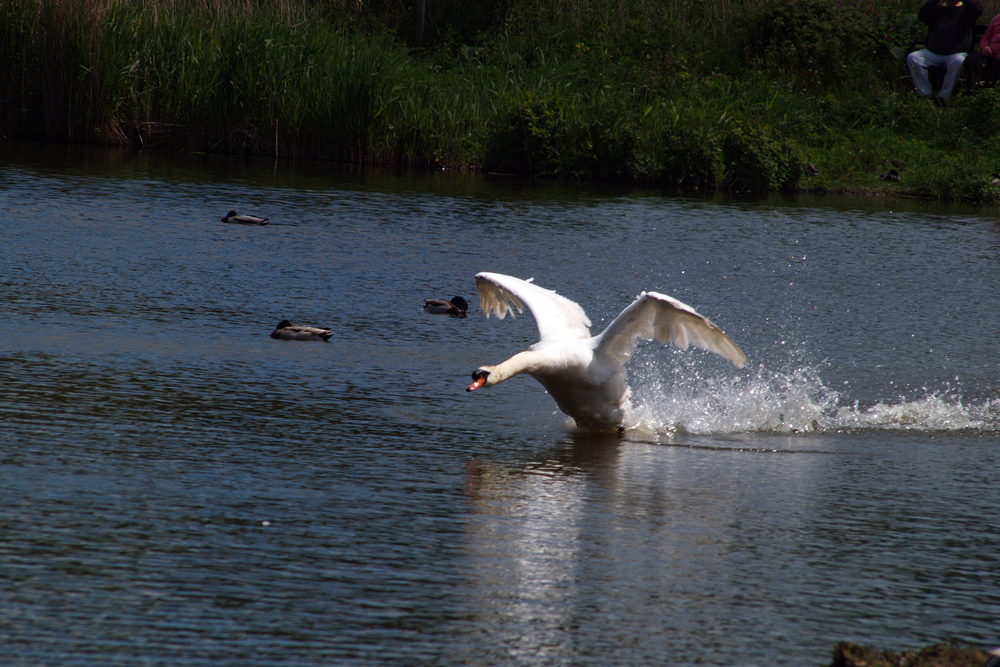
Abbotsbury Swannery: Swans are one of the heaviest flying birds.