Tuesday 5th August
After a dull and murky start to Monday, thanks to Storm Floris, the cloud thickened late morning as the weather front crossed our area, that produced just a few spots of rain at 11.30 although more consistent but very light rain and drizzle were observed from 14.05 for nearly two hours. However, the quantity of precipitation was minimal with a total of just 1.2m. The weather front also meant subdued temperatures with the maximum reached at 12.40, rather than late afternoon as in summer, due to the thick cloud. The high of 21.9C was just 0.2C below the August average. As is usual the temperature fell away in the early hours of Tuesday with the minimum of 11.1C reached at 06.07, just half an hour after sunrise in Marlborough at 05.36.
In direct contrast to Monday, Tuesday arrived with glorious sunshine that had lifted the temperature to 15.2C by 08.00. The day ahead will be dry with much sunshine as a ridge of high pressure has built in behind the weather front with the barometric pressure having risen 6mb since Monday as Storm Floris is now visiting Norway.
Although breezy on Tuesday the removal of Storm Floris to Norway has seen not only the pressure rise but the isobars have begun to widen thus the pressure gradient has reduced, which will bring a less breezy day on Tuesday. Isobars are lines of equal pressure that can indicate wind speed and direction. They are like contour lines on a topographic map. Winds tend to blow parallel to isobars circulating counterclockwise around low-pressure ares in the Northern Hemisphere.
Thankfully, the bug that recently meant it took ages for the website to publish each day, also updates to be ignored, has been cleared.
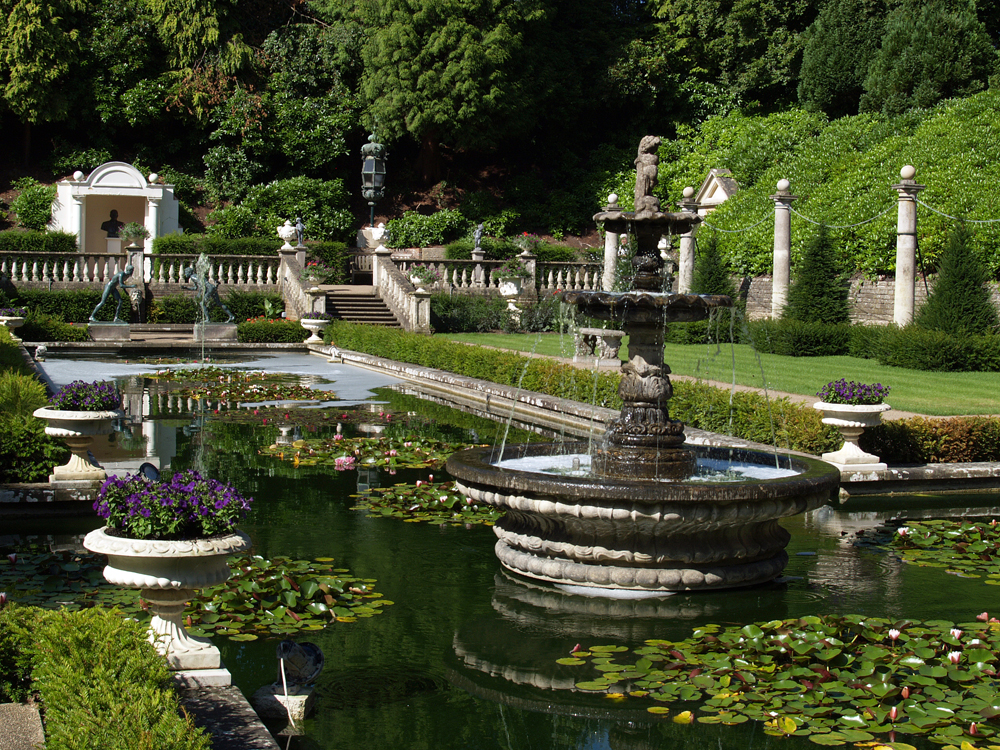
This will be the last of the images from Compton Acres near Poole. Tomorrow I will start to a new series of images when we take a summer stroll through the Savill Gardens near Windsor Great Park.
