Sunday 18th January
Eventually we had some brief sunny periods on Saturday that lifted the temperature to a maximum of 9.4C. This high was 2.3C above average that made it the warmest day since Tuesday. The very light breeze, with a maximum high of 12mph, couldn’t call it a gust, came from the southeast for the second day, a slightly warmer flow of air off the near Continent. The temperature fell slightly during the evening with a minimum 3.5C at 21.46 before very slowly edging upwards to around 5.5C at 02.00, then stabilising for the rest of the night. A bank of cloud arrived from the Continent after night fell that blanketed the country, thus the slight rise in temperature, rather than a fall, which usually happens at night if the cloud thins.
Sunday struggled to wake up under misty, murky conditions. The cloud base was very low limiting visibly after first light to around 400m with the air flow from the east. The cloudy, damp conditions are likely to persist all day, in fact the next few days are likely to be predominantly cloudy, the upside will be temperatures by day and night will be just above average with no air frosts. The humidity at 08.00 read 97.3%, the highest this month, under the blanket of moist air forming the fog.
The soil temperature at a depth of 5cm read 5.7C at 08.00. The recent warmer air has percolated into the ground, compared to a temperature of -2.3C on the 6th when we were experiencing a cold spell.
There is a possible battle looming at the end of the week between the very large area of high-pressure to the east over Russia and a succession of low pressure systems to the west edging in from the Atlantic. For the next few days we will remain under a southeasterly breeze of relatively mild, moist air. By the end of the coming week the forecast track of the jet stream indicates that the high pressure might win over the depressions to the west, which would allow much colder air to arrive stream in from the east. If that scenario develops, the harshness of any cold weather is uncertain at this time but temperatures would be likely to fall back below average.
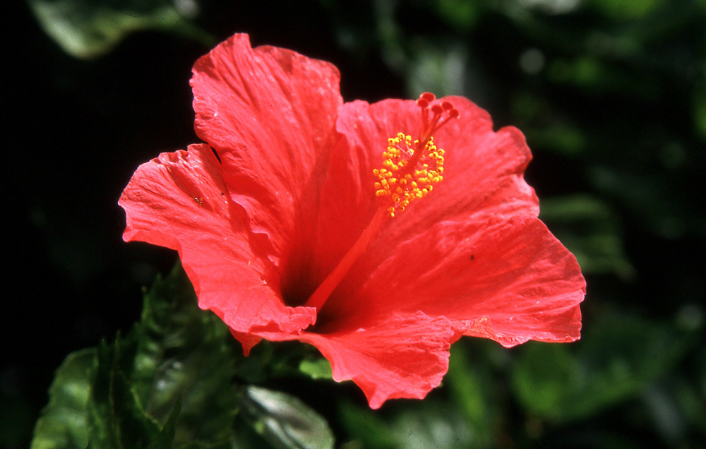
Another image from Madeira to brighten what will be a dull day.
