The website upgrade continued to provide problems yesterday but hopefully all will be well today! I rely on my website manager to look after the site as being old and not IT proficient, I just fill in the blanks! He prioritised sorting out the problems, for which I am grateful.
Wednesday was another of the predominantly cloudy days that combined with a light breeze from the north, a cool direction, restricted the rise in temperature to a maximum of only 20.8C at 14.14. In fact the peak temperature was not only 1.9C below average but also the coolest day this month and even as far back as the 9th of June. Once again the overcast conditions meant another mild night with the thermometer not dropping below 13.1C, being 1.2C above average, logged in the early hours of Thursday at 04.32.
Thursday revealed that we are still under cloudy conditions that are likely to persist all day with minimal sunshine.
At the moment the ridge of high pressure from the Azores High is extending over the UK, which is resulting in the air flow around its western boundary, then flowing around the top edge to the north of Scotland before descending southwards on a light northerly breeze today. This long track over the ocean is allowing it to pick up moisture on its travels, this the considerable cloud. There are strong indications that the ridge will continue to topple southwards as the centre of the high moves a little further north in the next twenty-four hours. This modest reposition will see the breeze change from north to northwest overnight and west tomorrow. This significant change will result in much more sunshine on Friday and temperatures recovering significantly to what could result in a hot day. The barometric pressure read 1018.5mb at 08.00, the highest pressure for a week as the anticyclone continues to build.
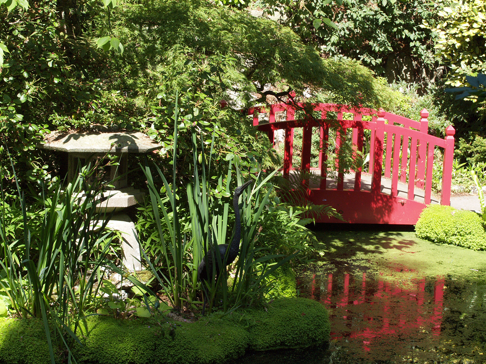
Compton Acres was constructed in 1920, being recognised as one of the most important ornamental gardens in England. The 10 acre garden was created on an area of Dorset heathland next to Poole.