Friday 15th May
Once again on Thursday the flow of Arctic air, on a strong northwesterly breeze, depressed temperatures by day and night. The thermometer struggled to reach a maximum 13.2C at 17.13, in very welcome and warm late afternoon sunshine. This high was 4.1C below my May average. There were a few spots of rain on a couple of occasions only amounting to 0.2mm. During the late afternoon a couple of parallel lines of showers moved from north to south, just a couple of miles to the west and east, leaving Marlborough in the dry middle section.
The pool of cool air under thin cloud cover meant another very chilly night that saw the thermometer drop to a minimum of 3.6C at 03.08 early Friday.
The recent cool days and nights have seen the temperature of the ground fall away, due to the combination of strong winds of Arctic air from the northwest, resulting in the ground temperature at a depth of 5cm read at 08.00, drop from 14.4C on the 2nd to 10.3C, 9.1C and 8.9C respectively over the last three days. No wonder plants out in the garden are not thriving, especially with the lack of substantial rain. What precipitation has occurred over recent days has quickly evaporated.
Friday began with thin, high cloud and some brightness but no strong sunshine after dawn. We are still under the influence of the depression centred over Scandinavia, that will continue to feed Arctic air down across the country on a northwesterly breeze today, but less strong than of late. There is another trough of low pressure, within the large area of low pressure, forecast to cross the country as the day progresses, which is likely to see cloud thickening and possible precipitation this afternoon, quantities uncertain.
The barometric pressure is slowly rising with a ridge of higher pressure edging in from the west today that heralds a distinct change in our recent cold weather. By Saturday, the Azores anticyclone will have overcome the recent depressions to the east, cutting off the flow of cold Arctic Air, which will see an Atlantic pattern of weather return with a more moist but especially important, warmer air stream. From Sunday the nights will be less cold, due to the warmer flow of air on a westerly breeze, but we are likely to have to wait util Tuesday until maximum temperatures return to around the average and then above average by the end of the week when it could became pleasantly warm.
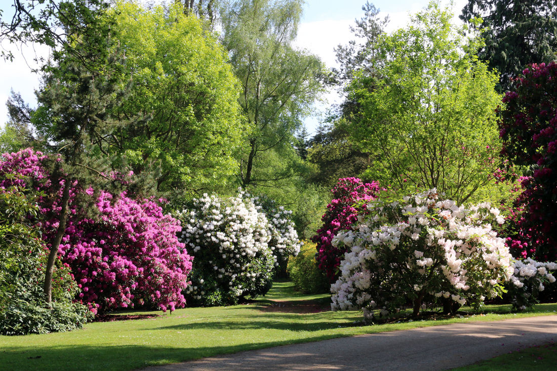
With the arrival of warmer air, more Spring like, I thought it appropriate for the next week or so to attach images from Bowood House and Gardens in Wiltshire to enjoy the wonderful Spring displays. Over the coming days I will take a walk around these magnificent gardens, full of colour at this time of year.