The plentiful sunshine on Tuesday lifted the temperature to a maximum of 21.8C at 16.59 but thanks to the brisk northwesterly breeze was just below average at -0.3C. It was a dry day after the rain and drizzle on Monday with the UV rated as ‘High’. I was surprised to see how low the temperature had dropped overnight when the thermometer read 6.2C at 06.07, half an hour after sunrise at 05.38 in Marlborough, being a significant 5.0C below my long-term average.
There was thin cloud cover before 05.00 on Wednesday but that steadily eased way eastwards after that time with the sunshine gaining strength around 08.00, which had lifted the temperature to 11.2C by 08.00. This made it the coolest start to a day at that time since 21st May. The air stream has backed into the southwest for a couple of days, so more of an Atlantic feel to the air stream, less heat but humidity a little higher.
Another day of high pressure will today bring us a fine, dry day but by Thursday this will have lost strength as a depression to the north begins to take charge with more cloud and thus less sunshine and lower temperatures but not much likelihood of any precipitation.
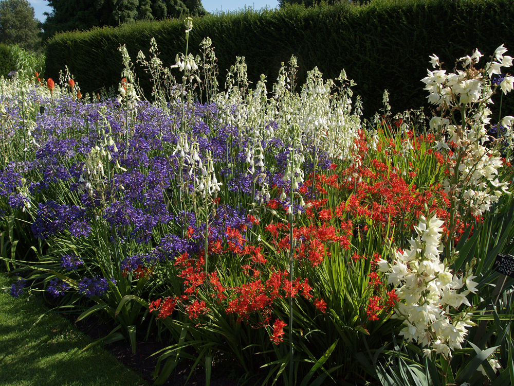
The Savill Garden. For the next week or more I will attach images from a summer’s walk around The Savill Garden, which is a 35-acre haven of gardens, woodland and seasonal displays.