Rain to the north and rain to the south of Marlborough over the past two days but barely a drop over our area, just 0.5mm, which very quickly dried up, that took the monthly rainfall total to 1.1mm when the 41-year average is 60.4mm. The thunderstorms were observed forming at 13.30, just to the south of area and then continued to build from Kent to Wales with the main storms travelling just south of Marlborough. As the air temperature increased during the latter part of the morning the air began to rise and in the unstable atmosphere where air from the depression and that from the North Sea met, began to condense, cooling as the gained height, then formed the storms. However, the warm sunshine continued during the morning and early afternoon with a maximum of 22.7C at 14.50 before the clouds thickened and rain spots were observed at 14.10, when I was out walking, but not measurable, and a very, very brief thundery shower at 15.55. The high was 5.4C above my long-term average. The past night was again chilly that saw the thermometer very slowly fall away to reach a minimum of 5.7C at 02.27, much earlier in the morning than has been recently been the case when nearer sunrise. This low was 1.3C below my long-term average.
Wednesday brought us another glorious start to the day with splendid sunshine and not a cloud in sight. This resulted in the thermometer climbing to 11.2C by 08.00. As the anticyclone slowly relocates it has meant the wind direction backing into the northeast today and brisk.
As mentioned in the report of previous days, the recent low pressure system has migrated back into the Atlantic and is currently still filling and by tomorrow will have disappeared. The high pressure has continued to build, up another 4mb since yesterday reading 1021.4mb at 08.00, and extended further southwards across the UK.
The main Jet Stream, having travelled across the Atlantic, continues to loop northwards around the UK and then back southwards towards the Continent. This the pattern is referred to as an “Omega’ block as it resembles the Greek letter for Omega. It is in fact a blocking high pressure that is keeping any weather fronts and weather systems from advancing towards the UK from the Atlantic. The forecast charts indicate that this situation will continue into next week so we have a number of dry, sunny and warm days ahead.
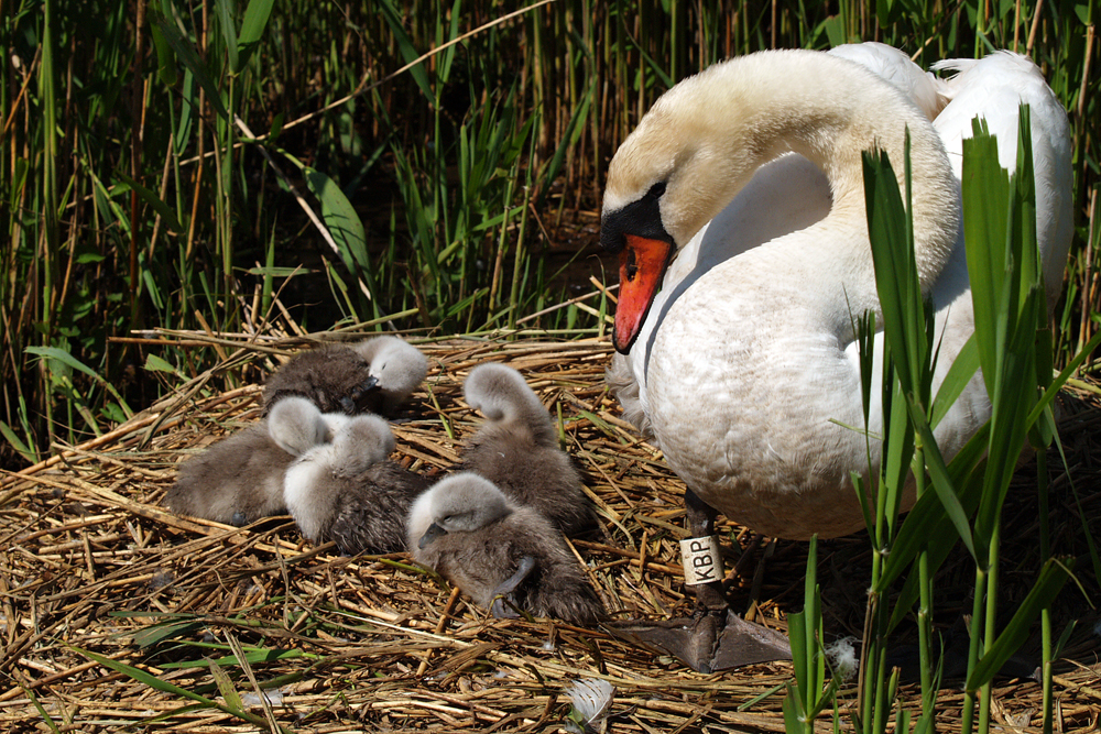
The images for the next week or so were taken at the Abbotsbury Swannery near Weymouth in 2006 that is home to over 600 mute swans. This time of year is perfect to visit and see the many hundreds of fluffy signets starting their new lives. Tomorrow I will post one of the images with an ah!!factor.