Tuesday 21st October
The heavy and frequent showers kept coming on Monday with barely a stop all day, however, they were less frequent in the late afternoon and stopped at 19.00. Another brief shower occurred just before 06.00 on Tuesday that took the daily total to 10.0mm. The high of 14.4C was exactly the same as on Sunday being 0.5C below average whilst a low of 10.4C was logged at 04.41 early Tuesday, which was exactly 3.0C above average. There was some brightness and brief, weak sunshine late afternoon as the cloud thinned and broke, thus the high at 16.10.
Tuesday after first light revealed an improving situation as the recent depression eases away eastwards taking its weather fronts with it. The secondary low, to the north, will still produce likely showers today but far less frequent and much lighter than on Monday with, hopefully, sunny intervals between.
Bt Thursday we will return to the presence of two depressions in similar positions to those on Monday, thus it is likely to be a showery and blustery day as the centre of the low is forecast to be quite deep.
The past two nights have given us a very low diurnal range of temperatures, the difference between maximum and minimum, with just 3.2C and 4.0C respectively. This low range was due to the thick, cloud cover that limited the rise in temperature by day, little sunshine if any, and minimal loss of warmth into the atmosphere by night thanks to the cloud acting as a duvet to minimise loss of warmth into the atmosphere overnight.
The monthly rainfall total now stands at 42.4mm against my 41-year record of 91.2mm for October.
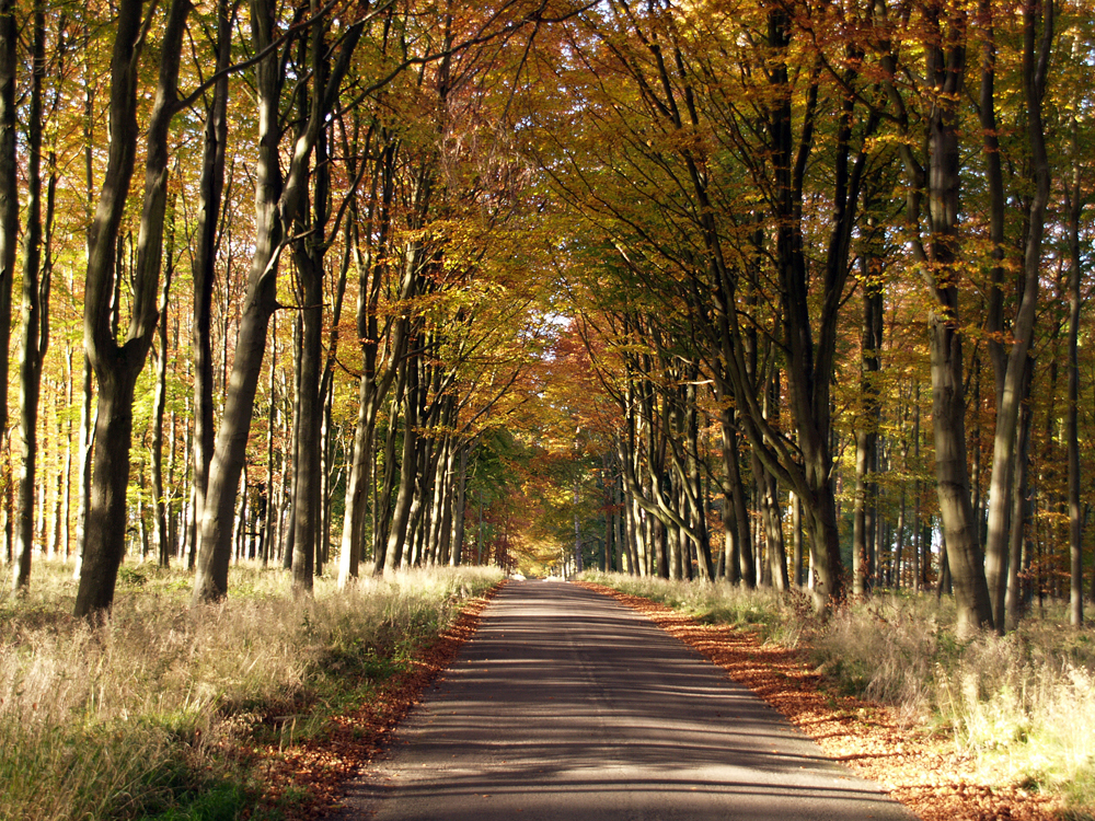
Savernake Forest. The forest has been privately owned since 1066, passed down through an unbroken line for 31 generations.