Tuesday 23rd September
The very cold start to the morning on Monday resulted in the temperature taking much longer to recover and in fact the maximum was below the Sunday peak with a high of just 14.9C, which was 4.1C below my long-term average even though we enjoyed many hours of sunshine. The culprit for the depressed temperatures was the continuing stream of cool air on a brisk northeasterly breeze, gusting to 20mph, originating around Iceland.
The past night was colder again with a minimum of 1.3C logged at 07.32 early Tuesday morning. The two factors producing this low, which was a significant 7.4C below average, were that we are still under the pool of cool but also that the anemometer became becalmed at 19.21. Thus there was no air movement to stir up the atmosphere and minimise the loss of warmth into the atmosphere with at the time of writing this report at 08.20, still no movement of air. The centre of the anticyclone has edged further over the UK thus there is minimal wind gradient that will result in much lighter winds today. The anemometer awoke at 08.35. The barometric pressure has risen a little higher with a reading of 1029.2mb at 08.00, up 2mb since Monday.
Tuesday arrived as Monday with glorious sunshine that was muted at first due to thin high cloud over the eastern horizon, which meant the thermometer had only recovered to 3.9C by 08.00.
The high pressure will dominate our weather for the rest of the week although with variable amounts of cloud on Wednesday. The centre of the high pressure will slowly extend eastwards over Scandinavia leaving a ridge over the UK that will fend off any approaching weather fronts until Saturday at least. However, the air movement will continue from the northeast until Friday. At that time the high pressure will have lost most of its influence that will result in the wind direction veering into the southeast. This significant change in wind direction will mean that the nights will become less cold as the flow of cool air from the north will have been cut off.
Storm Gabrielle spun up into a hurricane on Sunday with maximum sustained winds of at least 75mph. The latest forecast for the track of Gabrielle is for it to change direction into an easterly movement, well south of the UK, heading for a region around the Azores but by that time having weakened as it travels over cooler ocean water.
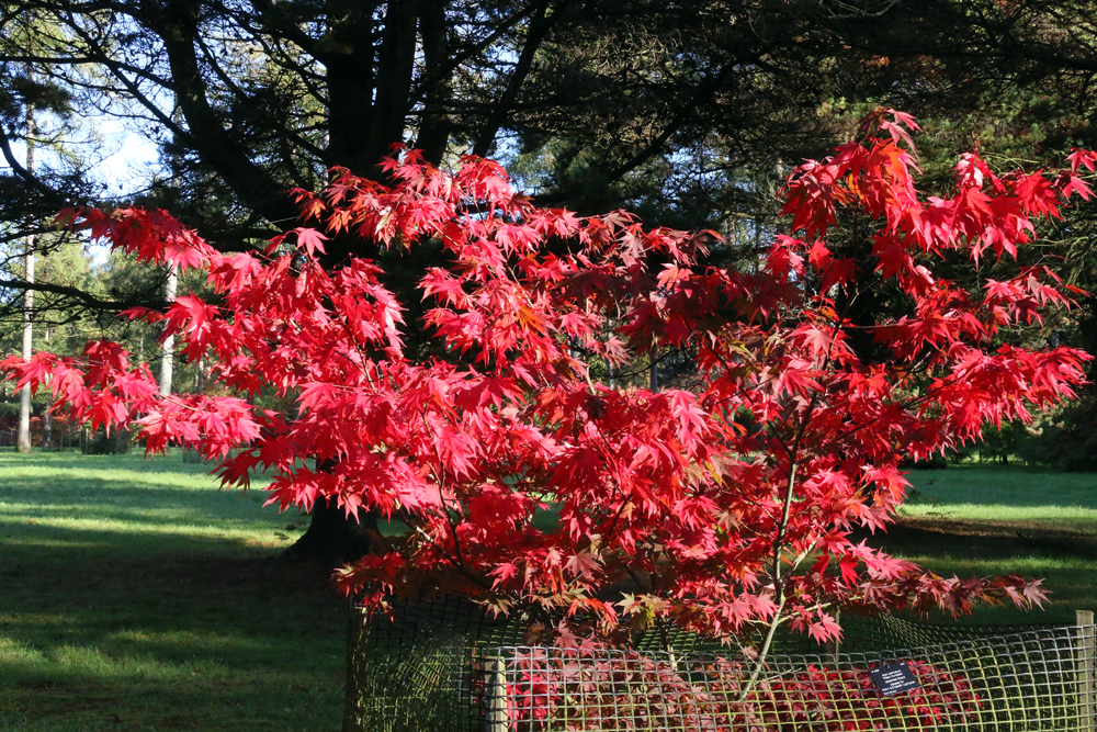
Westonbirt Arboretum. Silk Wood is a different experience from the Old Arboretum I mentioned yesterday as it contains some exotic plantings, at its centre is a traditional working woodland, dating back to the 13th century.
