Wednesday 31st December
There was welcome sunshine during the morning on Tuesday that slowly lifted the temperature to a peak of 5.8C at 12.29, however, this was 1.7C below average. Cloud began to build just after midday, thanks to a cold front crossing the area for most of the afternoon, that limited any further rise in temperature. Just before 16.00 the cloud began to clear again as the weather front moved off to the south, that resulted in the thermometer falling to freezing point (-0.1C) at 23.45 and a minimum of -3.8C at 03.58, being a significant 5.7C below the average.
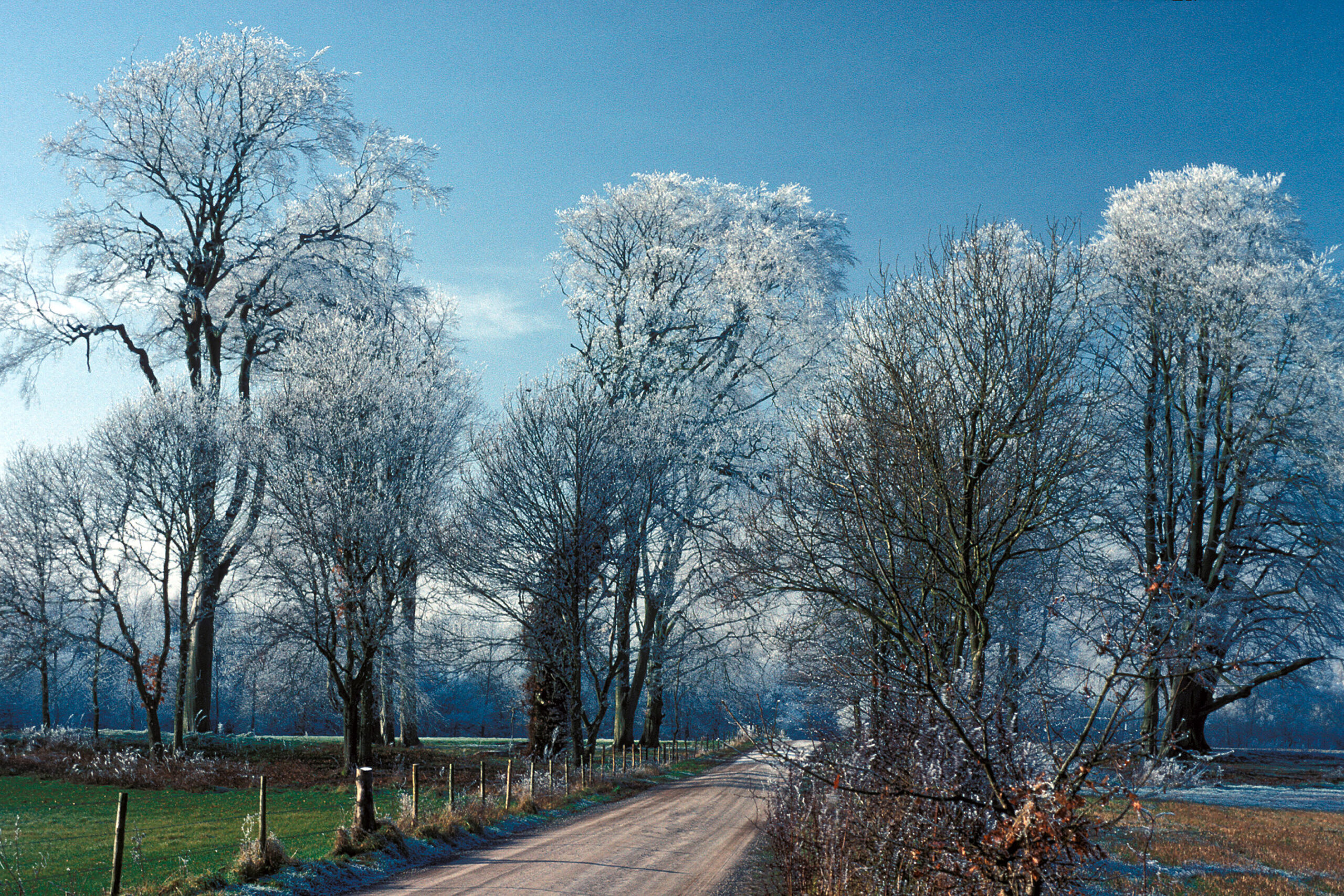
At first light on Wednesday, freezing fog was observed that from the back track of the radar, had begun to form just before 04.00, coating everything in ice. By 08.00 the thermometer had risen to -1.8C after which time it began to get colder again with a temperature of -2.6C at 08.30, at which time the fog began to show signs of thinning.
The soil temperature at a depth of 5cm had dropped to 0.5C, read at 08.00, the coldest this month due the frequent above average temperatures for much of the month.
Latest: The Met Office have just issued a yellow weather warning for snow and ice across large parts of England and Wales between midnight and noon on January 2. We are on the periphery of the area indicated.
The recent dominant anticyclone is easing away towards Iceland that is allowing a deep depression over Scandinavia to influence our weather for the short term. Today there will be a significant change in wind direction from the recent northeast to northwest and later west, but only briefly, and light. However, there will be little let up in the cold weather as the air stream originates from the Arctic. By Thursday another depression will have edged in from the Atlantic before sliding away to the south.
By Friday it is likely that both low pressure systems will ease away from the UK allowing the recent anticyclone to send a ridge of high pressure over the UK that will continue the run of Arctic air, producing night frosts.