Windrush Weather

Category: Commentary

  • More rain today before much cooler and drier weather arrives on Sunday

    More rain today before much cooler and drier weather arrives on Sunday

    Saturday 20th September
    The drift of very warm, moist air from around the Azores region, on a brisk southwesterly breeze on Friday, gave us a very pleasant autumn day that saw the thermometer rise very high for early September reaching a peak of 25.0C at 14.57. This was a signifiant 6.0C above my long-term average and the warmest day since 25th August (27.5C). It was also a dry day that gave splendid sunshine in the afternoon during which time the UV level rose at its peak to the top end of ‘Moderate”.

    The past night was also warm with a minimum of 13.1C just after midnight at 00.45, but instead of continuing to fall, as is usual in the early hours, it lifted to 13.8C for a couple of hours then rose to 14.4C by 08.00.

    Saturday after dawn revealed thin cloud in the eastern horizon with the sun trying to break through whilst the thicker cloud continued to drift across from the west bringing misty conditions ahead of the next weather front that is likely to produce rain before midday.

    The low pressure system currently sitting over the UK will slowly ease away towards Scandinavia on Saturday, which will allow the very large area of high pressure sitting just off the coast of Ireland to edge closer. This will mean the recent drift of warm, moist air from the Azores will be cut off resulting in temperatures dropping significantly on Sunday as the wind veers first into the west overnight then north on Sunday morning. The maximum in the very cool air, that originates around Iceland, will see the maximum perhaps 5C below the long-term average.

    Storm Gabrielle is now forecast to strengthen and become a hurricane on Sunday, to the north of the Caribbean and east coast of America, however, it is forecast that swells generated by Gabrielle are likely cause life threatening surf conditions. The forecast track will see it slowly rotate clockwise into a northeasterly direction into the mid-atlantic.

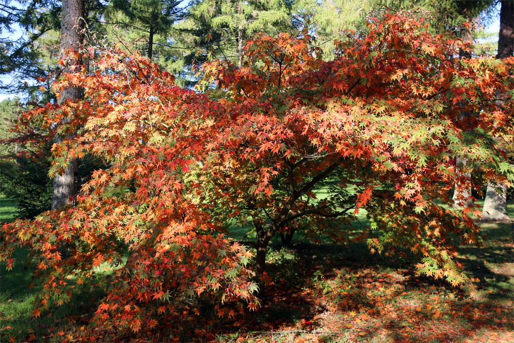
    Westonbirt Arboretum was planted in the heyday of Victorian plant hunting in the mid-19th century, as part of the Westonbirt House estate.

  • Dry, fine day on Friday before it goes down hill on Saturday

    Dry, fine day on Friday before it goes down hill on Saturday

    Friday 19th September
    The rising barometric pressure on Thursday gave us a fine, dry day with, for the first time in a week, an above average maximum of 20.9C being +1.9C. This high was logged at 15.05 thanks to the sky clearing after midday with the sun appearing, which was due to the stream of warm, moist air from the Azores. It has been another very mild night that saw the thermometer not fall lower than 14.7C at 05.25 under the thick cover of cloud, which was a significant 6C above my long-term average.

    Friday after dawn revealed another very dull, misty and cloudy start to the new day. The wind has backed a few degrees to come from the south-southwest and later south that will continue the flow of warm air, but being from the Continent and not having travelled over the Atlantic, will be drier so hopefully will produce sunshine and more warmth later today.

    The anticyclone to the east is continuing to fend off weather fronts from the nearby depression on Friday but by Saturday a combination of mini low-pressure systems will edge eastwards over the UK bringing cloud and a few hours of rain.

    During the summer heatwaves there were warnings on the airwaves that the extreme heat could result in additional deaths. A report yesterday reviewing the past months found that there were more than 16,000 excess deaths in Europe due to the heatwaves, researchers have concluded, which included 1,147 of the excess deaths in the UK.

    The track of Storm Gabrielle is now forecast to slowly change direction into the north and northeast, away from the Caribbean and America, slowly dissipating in mid-Atlantic by Tuesday of next week.

    Westonbirt Arboretum has been dubbed ‘the best place in the world to watch the leaves turn’ in autumn, transforming into a living canvas of fiery reds, golden yellows and rich ambers.

  • A warm day ahead following a very warm night that produced minimal diurnal temperature range

    A warm day ahead following a very warm night that produced minimal diurnal temperature range

    Thursday 18th September
    The stream of warm air on Wednesday, from a southwesterly breeze originating from around the Azores region, gave us a pleasant morning if overcast. There was minimal precipitation in the drizzle just after 08.00 of 0.2mm with no showers to follow. The thermometer slowly climbed to reach a high of 18.0C at 12.04 being 1.0C below average and peaked before thick cloud and light drizzle, not measurable, arrived around 13.00. The misty conditions and low cloud persisted into the evening.

    The diurnal temperature range, the difference between the maximum and minimum temperatures, was minimal with a variation of just 1.3C as the warm air overnight, under a thick blanket of cloud, persisted with a minimum of 16.7C just after midnight at 00.02.

    Thursday arrived under grey skies and the brisk southwesterly breeze continuing. The temperature was almost static after midnight as by 08.00 the thermometer had crept slowly higher to reach 17.2C, which had moved upwards rather than downwards as is usual in the early hours. The barometric pressure has continued to rise slowly over the past twenty-four hours, and is still edging upwards, thus there is the possibility of the cloud thinning with some sunshine this afternoon. The large area of high-pressure, currently stretching from the Azores region across to Ukraine, is wafting the warm, moist air towards the UK along its western flank, an extended run over the sea picking up moisture along the way. The barometric pressure read 1017.4mb at 08.00, up 3mb since Wednesday.

    The nearness of the anticyclone will likely give us a fine, dry and sunny day on Friday as the recent depression continues to move away northwards from the UK.

    My comment yesterday afternoon about a forecast distinct change in the weather over the weekend is now more positive, if arriving slightly later. The anticyclone will edge away on Saturday allowing a disturbance to arrive over the UK producing a mainly cloudy but warm day, all the while a large area of high pressure is edging in from the Atlantic. As the anticyclone gets closer, the air circulating clockwise around it, as it does, will travel to the north in the area of Iceland before diving south across the UK with the wind veering into the west then northwest later on Sunday and north on Monday. This will result in a significant drop in temperature on Monday.

    There are 600 acres and 17 miles of hard and grassy paths at Westonbirt Arboretum to explore the developing autumn colours, which is 3 miles southwest of Tetbury in Gloucestershire. There are around 15,000 individual trees and shrubs in the arboretum.

  • Another depression today – depressing!

    Another depression today – depressing!

    Wednesday 17th September
    The high pressure that was centred over the Continent on Tuesday gave us a fine day that wafted warm air from around the Azores area that lifted the maximum to 18.1C at 14.17. This made it the warmest day since the 12th but still 0.9C below average. The thick cloud overnight meant a mild night with the thermometer not sinking below 11.9C just after midnight at 00.28 being 3.2C above average, thanks to the drift of warm from mid-Atlantic. Rain first triggered the rain gauge at 01.30 that resulted in a daily total of 1.2mm.

    Wednesday struggled to come live under very dull, damp conditions thanks to a warm front and its associated thick, low cloud that was rucking drizzle after 07.30. The warm air had lifted the thermometer to 14.1C by 08.00, making it the warmest start to a day at that tine since the 7th (16.9C).

    The recent depression, now centred to the west of Scotland, will continue to slowly drift northeastwards to be north of Scotland tomorrow, which will mean it will have less influence on our weather and allow the Continental high to edge closer resulting in a drier day on Thursday although cloudy with the best of the weather arriving on Friday.

    There are likely to be significant changes in our weather over the weekend as a large area of high pressure is forecast to develop in the eastern Atlantic, just to the west of Ireland. This development will eventually, late on Saturday into Sunday, bring the air stream around its northern flank, then down over the UK from a northerly or northeasterly direction over the UK, which if that happens, will result in temperatures dropping significantly from Monday onwards.

    I recently made mention of a disturbance in the eastern Atlantic, off the Verde Islands, that had a 90% chance of forming a Tropical Storm. Today they are stating that it is increasingly likely that this area will strengthen into Tropical Storm Gabrielle, which would be the seventh named storm of the season. Some forecast models show the system strengthening into a hurricane.

    Note: I apologise that the live feed was not operational over the past twenty-four hours. This morning at 07.30 I received an email from the UK agent containing overnight instructions from DavisInstruments in America on how to reboot the whole system. The live feed now seems to be operating normally and thankfully, I have managed to retrieve the past twenty-four hours of data that was not available to me yesterday. The Daily Stats under the ‘This Month’ tab have been updated for the some of the incorrect data yesterday.

    Stourhead: The beautiful Palladian house at Stourhead and famous landscape garden have been used as a filming location for several productions, most notably for the scene where Mr Darcy proposes to Elizabeth Bennet in the 2005 film adaptation of Pride and Prejudice.

  • A day of peace and sunshine today under a ridge of high-pressure.

    A day of peace and sunshine today under a ridge of high-pressure.

    Tuesday 16th September
    Monday lived up to the forecast with very wild conditions bringing further rain showers in the afternoon after a pleasant sunny morning, before cloud increased again after around mid-day, which is why the maximum of 16.6C was logged at 12.03, being 2.4C below average. The overnight low of 10.3C was recorded at 06.54 early Tuesday, just after the sun got up at 06.43 in Marlborough, which was 1.6C above average.

    Tuesday began with sunny intervals between the breaks in the variable cloud cover.

    The recent deep low pressure system that brought the disturbed conditions has eased away eastwards over Scandinavia that has allowed a temporary ridge of high pressure to extend over the UK today from its centre over Iberia. This will result in a much better day with more sunshine and fewer, if any, showers. But it won’t last, as another deep depression, current centre pressure of 977mb to the west of Ireland, is heading our way for Wednesday, bringing another wet and windy day.

    The recent tropical wave in mid-atlantic has now developed into a 90% chance of forming a cyclone with its projected path north of the Caribbean.

    Note: Unfortunately at the time of writing this report I discovered that the live stream data from Davis Instruments has not been updating since 06.44 with live data to my console stopping at 07.18. Thankfully, my older manual station is still performing, which has been giving almost identical results when I made comparisons last month.

    Westonbirt Arboretum is home to 2,500 different types of tree and shrub from the far corners of the globe and five national collections.