Sunday 26th October
Saturday was predominantly cloudy, which is why the maximum was logged just after midday, at 12.06, before the cloud thickened. The high was a significant 3.5C below my long-term average due to the flow of Arctic air and the brisk northwesterly breeze that at times produced a wind chill, which meant outside it felt at leat 1C lower than that indicated on a thermometer. By 15.30 the temperature had already fallen over 2C to read 9.9C and by 20.00 was down to 6.7C. A further decline after 01.00 produced a minimum of 3.7C at 06.16, just before sunrise in Marlborough at 06.49.
Sunday gave us glorious start with sunshine shortly after sunrise that will give us a short lived, sunny morning. Scattered cloud was already limiting sunshine by 08.30. The radar already shows a large area of cloud to the north, drifting southeastwards, that will arrive mid to late morning blocking out the sun and limiting the rise in temperature, which will again result in a maximum well below average.
An area of high pressure, centred around the Azores, is currently ridging across the country that will limit precipitation, although a weather front crossing our area this afternoon will likely produce light rain for a short period. The barometric pressure has risen over 32mb since its low on Thursday with a reading of 1011.9mb at 08.00.
For the next few days the wind will come from a westerly direction, not quite as cold as the recent Arctic air, that will see maxima lift a little but still likely to be below average with minimal precipitation. The next two days are likely to be dry with sunny intervals.
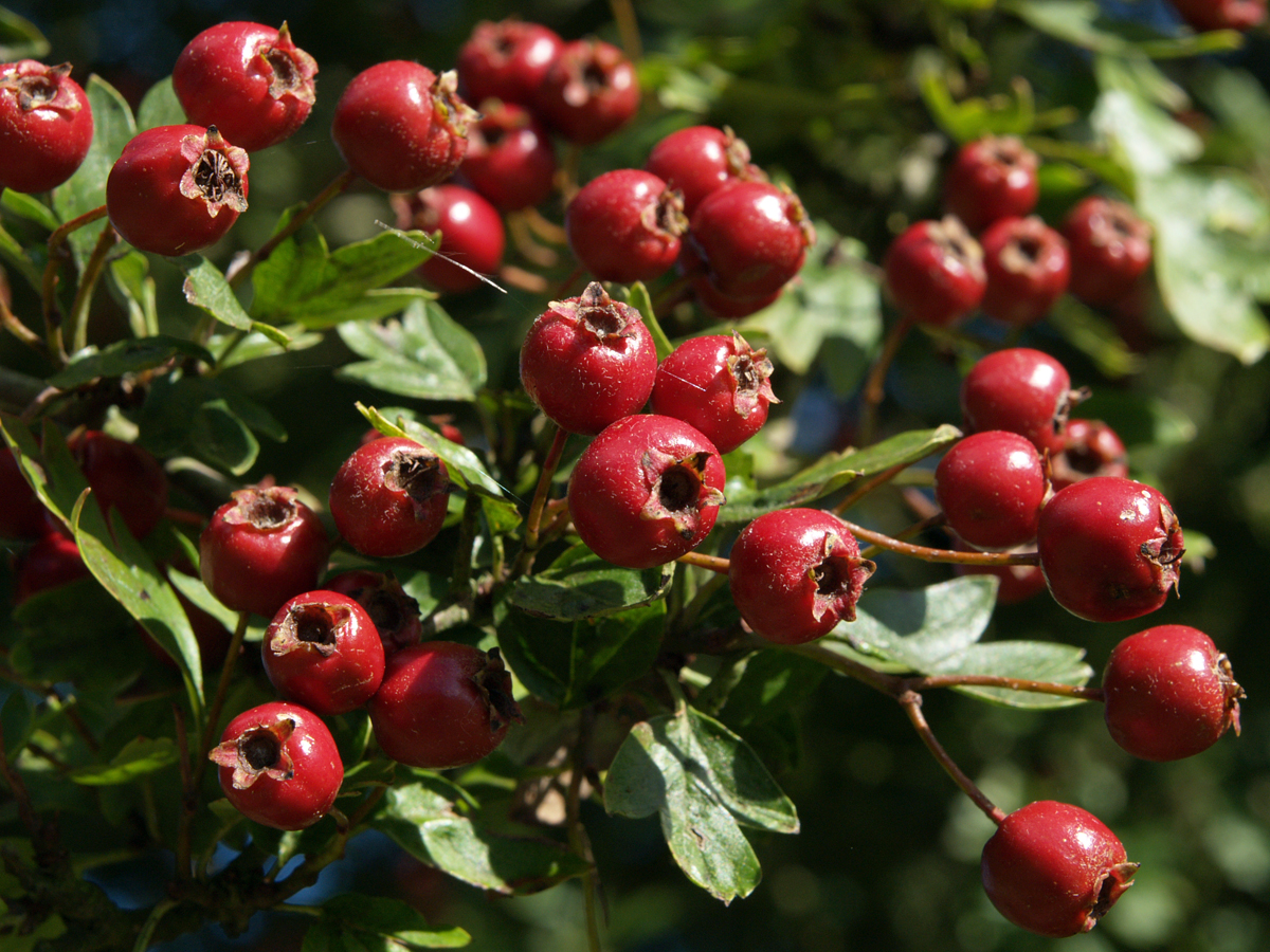
Now that most of the autumn leaves have either fallen, or been blown off, I will start a series of alternative autumn scenes
