Saturday 15th August.
The temperature has been slowly creeping up again with a maximum of 26.0C on Friday with the UV even at the top end of ‘High’, the highest since the 3rd. The thermometer trace showed that the heat had built steadily all morning before levelling out just after 13.00 when variable cloud arrived, when that cleared the temperature rose a little further. As the evening and night drew on the temperature fell steadily reaching a low of 12.1C at 04.55, just before sunrise early on Saturday in Marlborough at 05.52. The maximum was 3.9C above average whilst the minimum was 0.9C above my long-term average.
Although a little misty first thing on Saturday, the sun soon go to work, even weak initially through thin cloud on the horizon, that meant by 08.00 the thermometer had risen to 17.8C. The humidity has fallen a little after the moist air from the Atlantic on Friday with a humidity reading of 84% at 08.00 compared to 93% this morning. The wind will continue light today from a north-northeasterly direction, probably veering into the northeast later today and tomorrow the airstream will veer a few more degrees into the east.
The centre of the high pressure has relocated to the northwest of Scotland, which will mean the air stream coming around its northern flank will arrive on a northeasterly breeze. The barometric pressure has risen significantly over the past twenty-four hours as the anticyclone continues to build with a reading of 1026.2mb at 08.00, a rise of 9mb since Friday, being the second highest this month.
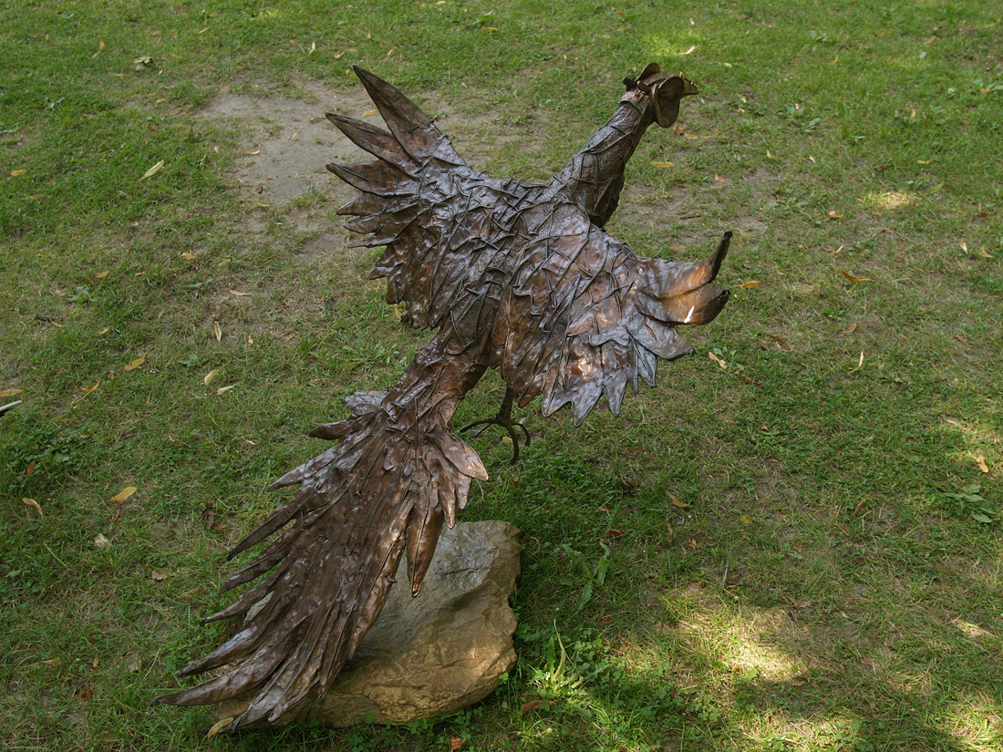
The Savill Garden has an interesting collection of metal objects around the site.