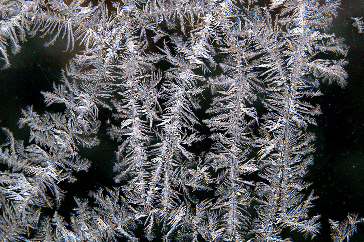
Monday 5th January
Several hours of bright, but not strong sunshine on Sunday, meant a maximum of 3.0C logged at 13.42, which was 4.1C below average. Just before 14.00 broken cloud began to arrive that minimised any further sunshine. Towards late afternoon the sky cleared again that allowed any warmth to dissipate into the atmosphere resulting in a low of -2.1C justifier midnight at 00.05. Once again the thermometer began to climb again, due to a band of cloud arriving that deposited a dusting of snow as the temperature rose reaching -0.2C. As that narrow band of cloud cleared away just after 06.00, the temperature began to drop steadily reaching -3.1C at 08.00.
The Met Office did issue a Yellow Snow and Ice warning late Sunday morning when they spotted a slight change in wind direction, from Arctic north to northwest, which would bring shower activity from that direction.
Monday after first light revealed the light dusting of snow, whilst the thermometer continued its downward direction reaching -3.3C at 08.30. The melted snowfall amounted to just 0.2mm of equivalent rainfall.
There is one advantage of using a Met Office standard 5″ copper rain gauge, as I have done for 42 years, over an automatic rain gauge, when snow or other frozen precipitation has fallen, I can bring the funnel and container for the liquid inside and very slowly melt the snow, minimising any evaporation if done too quickly. Any precipitation that is frozen and falls into an automatic rain gauge will not immediately register the equivalent liquid content of what it collects. The automatic rain gauge will only register an amount when there is sufficient warmth, either from the ambient air temperature rising or receiving direct sunshine to melt the contents.
There seems to be more certainty that this brief, cold spell will relinquish its hold by midweek. Tuesday will see the high pressure slip southwards allowing a depression, currently northeast of Iceland, to slip southwards towards the UK. This will result in the air stream backing further to come from a westerly quadrant, variable over the following two days. This will bring a slightly warmer air flow, the downside will be far less sunshine, replaced by cloudy conditions. The maxima will still be below the average for early January with minima likely to hold just above freezing.
Thursday will bring a dramatic change with the possibility of heavy rain later in the day as a depression settles over the UK.
Tonight, under the residual flow of Arctic air, will be a very cold night with a hard frost setting in as the light fades.
