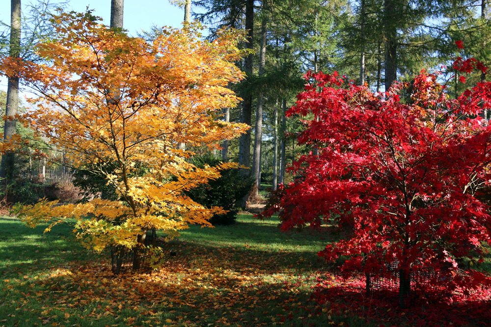
Sunday 28th September
Saturday was another dull and dreary day although during the late morning and occasionally in the afternoon the sky briefly brightened but no sunshine. This meant another cool day with depressed temperatures during daylight hours with a maximum of 15.4C logged at 14.53, which was 3.6C below average, the eighth consecutive below average maximum. During the evening, just after 21.30, I noticed the temperature edging upwards from a low of 11.7C reaching 13.2C at 05.45 before falling back a trifle, that has resulted in a temperature of 12.5C by 08.00 on Sunday, due to the air coming from the south for a few hours. The exact same minimum was also recorded at 00.46 early Sunday as the temperature fluctuated during the night.
Sunday morning brought light drizzle shortly after 05.00 with more persistent, light rain starting at 06.50 and stopping just before 08.00 that produced a total of exactly 1.0mm. This was the result of the cold front passing over the UK, that arrived later than forecast, but it had narrowed and thinned on its journey. As the cloud from the back edge of the weather front eases away eastwards the sun should reappear towards midday lifting the temperature.
There are already signs of the recent cold, and cloudy conditions about to turn around. The forecast is for another Azores High to begin to develop and fill sending a ridge northeastwards across the UK that will link up with the old anticyclone, now over Scandinavia. As a result of these changes, from Monday there will be sunshine again and temperatures by day recovering to around average or just above the early October average, also much less cold by night, the days being dry. The barometric pressure is already beginning to rise slowly. As these changes take place the air stream will come from a northerly quadrant during Sunday and Monday before changing again to come from a southerly quadrant for the rest of the week, a much warmer direction.
The total rainfall for September, measured from my Met Office standard copper rain gauge, now stands at 79.5mm compared to my long-term 41-year average of 66.9mm. Set against that precipitation total, an equivalent rainfall total of 50.8mm has been lost through evaporation from ground sources and plant life.
