Sunday 14th September
Both the maximum of 17.6C on Saturday and the overnight very low minimum of 5.8C early Sunday were below average at -1.4C and -2.9C respectively. The past night was the second coolest this month. There were a couple of light showers during the past twenty-four hours that accumulated 1.2mm of precipitation.
Sunday arrived with a little brightness in the eastern sky although the sun was hazy thanks to thin high cloud. Just after 08.00 the cloud began to thicken ahead of the next weather front. The recent depression has been deepening whilst edging closer and will continue to throw showers or longer periods of rain this afternoon thanks to a warm front crossing the country after mid-day. As the weather front progresses across the country this afternoon the wind will pick up and be very strong for a period and will veer from the southeast this morning to southwest.
The yellow weather warning put out by the Met Office yesterday for today will now extend over Monday for the strength of the wind, which will be very strong and could cause some damage and disruption to transport. However, the Met Office also state that it will not have sufficient impact to be labelled the first storm of the season.
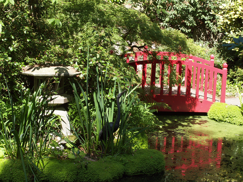
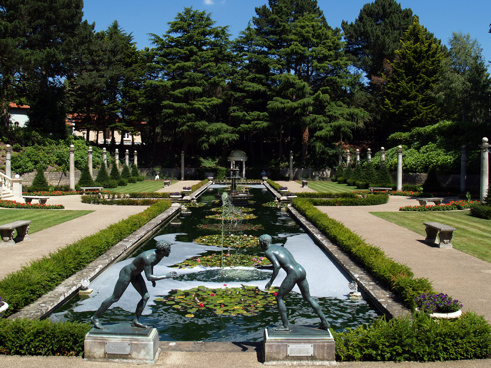
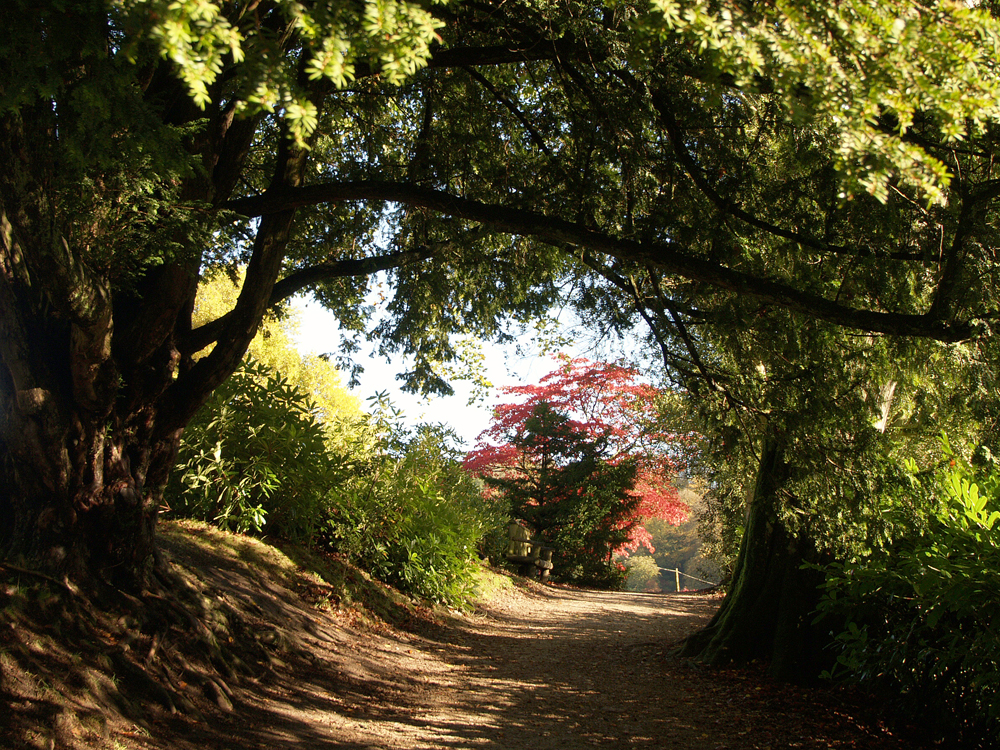
Stourhead. This will be the last of the autumnal ages from Stourhead that has been described as “the most beautiful and magical of all the great landscape gardens. Tomorrow I will begin a new series of autumnal images, as the colours deepen, taken at Westonbirt Arboretum.