Friday 19th September
The rising barometric pressure on Thursday gave us a fine, dry day with, for the first time in a week, an above average maximum of 20.9C being +1.9C. This high was logged at 15.05 thanks to the sky clearing after midday with the sun appearing, which was due to the stream of warm, moist air from the Azores. It has been another very mild night that saw the thermometer not fall lower than 14.7C at 05.25 under the thick cover of cloud, which was a significant 6C above my long-term average.
Friday after dawn revealed another very dull and cloudy start to the new day. The wind has backed a few degrees to come from the south-southwest and later south that will continue the flow of warm air, but being from the Continent and not having travelled over the Atlantic, will be drier so hopefully will produce sunshine and more warmth later today.
The anticyclone to the east is continuing to fend off weather fronts from the nearby depression on Friday but by Saturday a combination of mini low-pressure systems will edge eastwards over the UK bringing cloud and a few hours of rain.
During the summer heatwaves there were warnings on the airwaves that the extreme heat could result in additional deaths. A report yesterday reviewing the past months found that there were more than 16,000 excess deaths in Europe due to the heatwaves, researchers have concluded, which included 1,147 of the excess deaths in the UK.
The track of Storm Gabrielle is now forecast to slowly change direction into the north and northeast, away from the Caribbean and America slowly dissipating in mid-atlantic by Tuesday of next week.
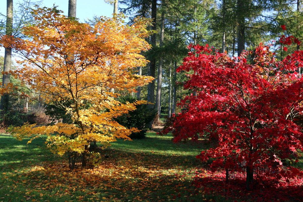
Westonbirt Arboretum has been dubbed ‘the best place in the world to watch the leaves turn’ in autumn, transforming into a living canvas of fiery reds, golden yellows and rich ambers.