Sunday 24th August
The temperature rose steadily on Saturday until just after 11.00 when it reached 19.9C and began to plateau followed by a slower rise, reaching a high of 22.7C at 16.14, which was only just above the August average at +0.6C. The average temperature and the UV level at its peak reached up to the ‘Moderate’ level due to the variable cloud cover and the breeze from the cool northeasterly direction. However, there was little air movement, at times the anemometer was becalmed, with a maximum air movement of 11mph on one occasion. The cloud cover overnight gave us a mild night, in fact the warmest since last Monday, with a minimum of 15.3C logged at 06.22 early Sunday, just after the sunrise in Marlborough at 06.06.
The first hour or so after sunrise on Sunday was dominated by 7/8ths cloud cover but around 07.45 the sun began to break through that had lifted the temperature to 16.2C by 08.00.
The high pressure is still dominant although very slowly beginning to fill with a reading of 1020.9mb at 08.00. The track of ex-hurricane Erin is still forecast to bring it in the North Atlantic between Scotland and Iceland. Before that we have two fine, warm or very warm day ahead. On Tuesday a cold weather front ahead of the depression is likely to bring more cloud and possible precipitation, amounts unclear at the moment. It is by Wednesday when the stronger winds and more unsettled weather reaches our area with likely rain showers.
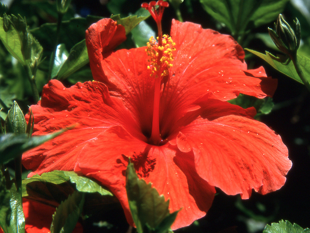
With a little summer still left I am starting a new series of images, this time from the colourful island of Madeira, mainly from the town and countryside around Funchal.


