Saturday 11th October.
Friday was dull and gloomy under the dome of high pressure that restricted the rise in any warmth following the mild night. The thermometer eventually reached a high of 15.1C at 14.25, which was just 0.2C above average. The overnight low of 7.2C, that was logged just after midnight at 00.59, was 0.2C below average. However, with increasing cloud cover the temperature began to rise, when normally it continues to fall until around sunrise, by 08.00 the thermometer read 9.9C.
Saturday struggled to come alive under the thick blanket of cloud with calm conditions that are likely to continue all day.
Ww are sitting almost under the centre of the high pressure and will do so for much of the coming days. Therefore, much of next week, probably up to the weekend, will continue the pattern of calm conditions and variable cloud. The air stream, having travelled over the Atlantic, before it loops around the north of the anticyclone, continues to pick up moisture and then will do so even more now that the air stream has veered into the northeast with the line of travel coming in from the North Sea. These conditions are referred to as anticyclonic gloom as there is little pressure gradient to produce much movement of the air to break up the clouds.
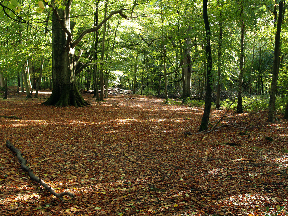
Savernake Forest. I am starting a series of images taken in the forest, the first batch at the start of autumn, with full colours later next week, as they develop.