Thursday 18th September
The stream of warm air on Wednesday, from a southwesterly breeze originating from around the Azores region, gave us a pleasant morning if overcast. There was minimal precipitation in the drizzle just after 08.00 of 0.2mm. The thermometer slowly climbed to reach a high of 18.0C at 12.04 being 1.0C below average and peaked before thick cloud and light drizzle, not measurable, arrived around 13.00. The misty conditions and low cloud persisted into the evening.
The diurnal temperature range, the difference between the maximum and minimum, was minimal with a variation of just 1.3C as the warm air overnight under a thick blanket of cloud persisted with a minimum of 16.7C just after midnight at 00.02.
Thursday arrived under grey skies and the brisk southwesterly breeze continuing. The temperature was almost static after midnight as by 08.00 the thermometer read 17.2C, which had moved upwards rather than downwards as is usual in the early hours. The barometric pressure has continued to rise slowly over the past twenty-four hours, and is still edging upwards, thus there is the possibility of the cloud thinning with some sunshine this afternoon. The large area of high-pressure, currently stretching from the Azores region across to Ukraine, is wafting the warm, moist air towards the UK along its western flank, an extended run over the sea picking up moisture along the way. The barometric pressure read 1017.4mb at 08.00, up 3mb since Wednesday.
The nearness of the anticyclone will likely give us a fine, dry and sunny day on Friday as the recent depression continues to move away northwards from the UK.
My comment yesterday afternoon about a forecast distinct change in the weather over the weekend is now more positive, if arriving slightly later. The anticyclone will edge away on Saturday allowing a disturbance to arrive over the UK, all the while a large area of high pressure is edging in from the Atlantic. As the anticyclone gets closer, all the while the air circulating clockwise around it, as it does, travelling to the north in the area of Iceland before diving south across the UK with the wind veering into the northwest later on Sunday and north on Monday. This will result in a significant drop in temperature on Monday.
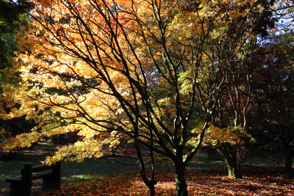
There are 600 acres and 17 miles of hard and grassy paths at Westonbirt Arboretum to explore the developing autumn colours, which is 3 miles southwest of Tetbury in Gloucestershire.
