Windrush Weather

Category: Commentary

  • Last day of meteorological summer!

    Last day of meteorological summer!

    Saturday was not a summer’s day with depressed temperatures and frequent showers.The thermometer reach a high of 19.4C just after midday at 12.56 as cloud had begin to drift in from mid-morning and showers began early afternoon. The peak temperature was 2.7C below average. The radar showed three distinct weather fronts when steadier rain fell at 14.00, 15.35 and then a longer spell at 17.15 to 19.50. In the latter shower the wind was very brisk with a peak gust of 24mph. I was surprised to note on the console during the evening that Marlborough caught the southern tip of another brisk shower at 20.45. The combined precipitation totalled 10.4mm. The sky must have cleared in the early hours as the temperature dropped to a low of 10.4C at 06.44, just after sunrise in Marlborough at 06.17 when there was not a cloud in the sky. The low was 0.8C below average.

    As previously mentioned, Sunday began under clear blue skies and sunshine after the sun rose. Sadly, variable cloud was observed drifting in from the west around 07.30 that by 08.15 severely limited the sunshine. The rain radar at 08.30 showed two main bands of rain arriving from the west, the nearest over Devon and Dorset drifting across on a southwesterly breeze.

    The depression is still parked to the north of Northern Ireland and just to the west of Scotland and will be there again tomorrow. The next two days will see a rash of showers developing, as the mornings progress, with the wind increasing as the showers arrive on both days.

    The projected track of the Jet Stream is bending south of the UK until Wednesday at least, that will see the run of cooler, showery weather continue.

    Once again there headline grabbing comments about another heatwave, this time for the second week of September. That is a long way ahead and much could change in the intervening period. If it does arrive it is unlikely to reach the heatwave threshold of 27C.

  • Many unsettled days ahead

    Many unsettled days ahead

    Saturday 30th August
    Intermittent sunshine, between variable cloud on Friday, meant a dry day with the thermometer getting nearer the average with a maximum of 21.1C at 14.37, being -1.0C. Showers were frequent to the north and south of our area but none ventured over Marlborough. The rain on Thursday meant the soil is now damp down to a few inches but not sufficient moisture to encourage much growth or fresh planting, at least there was no intense sunshine to burn the shrivelled leaves of flowers and trees. A minimum of 11.8C was logged at 06.39 just after the sun should have risen over Marlborough at 06.16. However, a bank of fog had drifted in from the east during the early hours that obscured Savernake Forest and after 06.45 drifted in from the north, obscuring any sunshine.

    By 07.45 on Saturday there were signs that the sun was beginning to thin the fog with a temperature of 12.8C by 08.00, the coolest start to a day at that time for a week. The humidity level was high again thanks to the fog with a reading of 94.9% at 08.00.

    The newly arrived depression, to the north of Ireland and west of Scotland, has deepened over the past twelve hours and has edged closer with a centre pressure of 975mb. This deep pressure has produced a steep pressure gradient that will result in the wind increasing as the day progresses. Associated with this low pressure system are weather fronts that will cross our area today arriving around midday, in fact there are two warm fronts followed by a cold front that are likely to produce a few hours of precipitation during the afternoon.

    The depression will hang around for a few days that will result in unsettled weather well into next week as by Monday the centre of the depression will be over Scotland and reluctant to leave us and could be joined by a possible, new, small unsettled area.

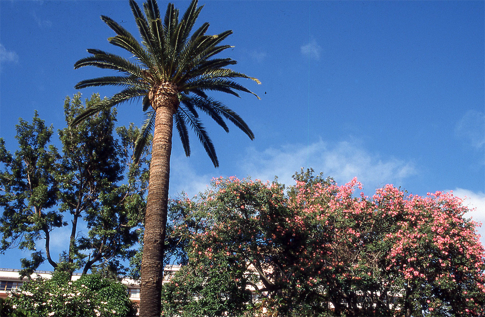
    Although sunshine over the next few days will be restricted I will continue the sunny images from Madeira.

  • Summer has gone!

    Summer has gone!

    Friday 29th August
    Thursday was not a summer’s day with much cloud cover, particularly in the afternoon and evening, that produced intermittent light rain. Just before 19.00 the rain radar showed a line of showers moving in from the southwest that ran along the Marlborough area for almost two hours with steady rain, there was also another modest fall that started just before 04.00 early Friday that slowly faded out by 07.30. The twenty-four hour rainfall total was 16.8mm that took the monthly total to 26.4mm compared to my 41-year average of 65.5mm.

    After a bright dry start to the new day on Thursday, with one very brief shower at 09.50, the morning was sunny. However the cloud that built up after 11.00 depressed the rise in temperature so that a maximum of 20.2C was logged late morning at 11.39 being 1.9C below my long-term average. The reverse was true overnight as this cloud continued that was linked with a small low pressure system that developed over southern England that brought the early morning rainfall. A minimum of 13.1C was logged at precisely 00.00 or midnight, before the thicker cloud arrived on a warm front.

    The start to Friday was very dull due to the thick cloud from the hang back of cloud associated with the warm weather front from the mini low-pressure system that ran along the southern counties of England. The temperature had lifted just a little to 13.7C by 08.00. The light rain stopped just after 07.30, the cloud began to thin and the sky brightened. Ahead is a day of sunshine and showers. At its closest this morning, the depression produced a barometric pressure reading of 994.2mb just after 05.00, which was the lowest pressure since 15th April.

    The depression that had been parked to the north of Northern Ireland for a couple of days has begun to move eastwards and now over Scotland and begun to slowly fill. Saturday will see another deep depression arrive from the Atlantic heading towards Scotland that contains the remains of ex-tropical Storm Fernand. Thus, the weekend will bring more rain and windy conditions.

    The changeable weather, with lower temperatures and frequent showers, appears as though Summer has departed and Autumn arrived early!

    All my five water buts are now full to overflowing, with in excess of 1,000 litres, that will now not be needed for watering the garden over the weekend, considering the recent useful rainfall and expected additional precipitation.

  • Will the heavy showers give us a miss again today?

    Will the heavy showers give us a miss again today?

    Thursday 28th August
    The rain gods gave Marlborough a miss on Wednesday from the very heavy showers that drifted in on a south-westerly breeze, one sailed along the Pewsey Vale and another major storm arrived over Swindon with thunder and torrential rain mid-afternoon. However, there were several light showers and drizzle during the daylight hours that amounted to 2.2mm, which dampened the surface but no use to gardeners. The unsettled weather and variable cloud meant that temperatures were depressed with a maximum of only 20.6C at 17.35 in late afternoon sunshine. This was the lowest maximum for a week being 1.5C below average. As the skies cleared in the evening the thermometer dropped very low for August registering a minimum of 6.8C at 06.19 early Thursday, just after sunrise in Marlborough at 06.13, being 4.4C below my long-term average.

    Thursday arrived with welcome sunshine after sunrise in a blue sky with thin, high cloud and vapour trails. However I observed at 07.00 thicker cloud edging our way. The temperature had recovered to 14.4C by 08.00.

    The recent depression is still parked just north of Northern Ireland and continues to dominate our weather. In fact today is likely to bring us more showers on a gusty southwesterly breeze that will become more frequent and likely heavy as the temperature rises during the morning. The rain radar at 06.30 already showed a rash of showers drifting in across the West Country and heading our way. The depression is forecast to drift closer to the UK on Friday, over Scotland, that will likely mean less shower activity than today and lighter winds with the wind eventually veering into the west as the morning progresses.

    When the sun heats up the air in these unstable weather conditions, under a moist Atlantic airstream, the air rises as it expands under the heat of the sun, it then begins to cool at higher altitudes. At that point the moisture within it condenses and often arrives below as showers, when the rain drops are too heavy to be contained within the cloud.

    Note: The live display for rainfall has shown the amount from February, when the new on-line station became active. At last I have discovered how to include the amount from January, as a result the rainfall total now shows the total precipitation from the 1st January.

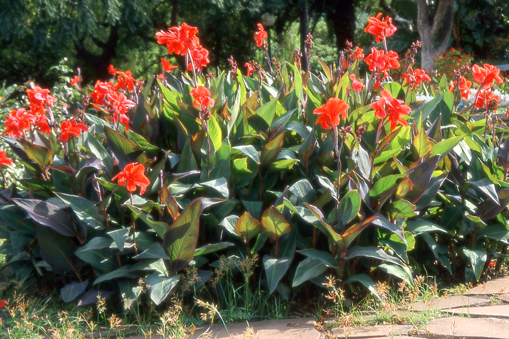
    I continue the floral images from Funchal in Madeira, which is volcanic, green, rugged with high cliffs and pebbly beaches.

  • Don’t be fooled by the sunny start – real rain today!

    Don’t be fooled by the sunny start – real rain today!

    Very light, brief rain and drizzle just after 08.00 on Tuesday that produced just 0.2mm of precipitation, the first after fourteen consecutive dry days. Tuesday was the last day when the maximum was above average, there have been nineteen such days this month, with the thermometer reaching 23.8C at 13.03 being +1.7C. Increased cloud in the afternoon limited any further rise in temperature. The southwesterly breeze was brisk, up to 16mph, with ‘High’ UV at its peak. The cloud built up after midnight that limited the fall in temperature with a minimum of 13.4C logged at 02.49, which was 2.2C above my long-term average.

    Wednesday arrived with clouds scudding across the sky driven by a brisk southwesterly breeze from the Atlantic. The cloud will thicken as the weather front associated with the depression moves in from the west bringing very likely the wettest day this month, rain is forecast to arrive just before midday. The rain radar showed a narrow band of heavy rain and thunder over the Lizard peninsula at 06.00, heading our way, that had reached Devon by 08.00 with shower activity ahead of it. The barometric pressure has fallen further as the high departs and the depression edges closer with a reading of 1005.1mb at 08.00, down a significant 18mb since its high on Friday last and continues to fall steadily.

    This month has seen just 3.4mm of precipitation when my 41-year average is 65.6mm whilst 83mm of equivalent rainfall has been lost through evaporation from the ground and plant life.

    After a hot and dry summer the records reveal that eight of the last 10 summers (2015-2024) have seen temperatures above the long-term average. The Met Office finds that “the number of days with temperatures above 30C has more than trebled in the most recent decade compared with the 1961-1990 average”.

    The low pressure system is still lurking south of Iceland. Over the next two days this is likely to move a little further south and east, to be positioned between Ireland and Scotland, with much more rain and strong winds ahead.