The thermometer climbed a little higher yesterday, to a maximum of 6.0C at 14.26. It was another day of very light winds, maximum of 10mph and hours without any movement of the air. The sun was a little hazy at times but sill logged 5.26 hours of strong sunshine. Not surprisingly, with a clear sky, the thermometer then began a steady decline until a minimum of -3.8C was reached at 00.30 this morning when there was an about turn and the temperature gradually recovered to a low of -0.7C at 08.00
There have been 130 hours of sub-zero temperatures this month with the last two days recording 18 and 16 hours respectively below freezing. Freezing fog developed late evening with visibility down to around 200m. By dawn this freezing fog had developed into moving banks that varied in visibility from 200m to 1000m.
Category: Commentary
-
130 hours of sub-zero temperatures this month, so far!
-
Unlike the world, 2016 was not the warmest on record in Marlborough
Although the world in 2016 was at its warmest, according to the Meteorological Office, it was the fourteenth warmest in Marlborough since this station started in 1994. Last year was 0.3C above the 32-year mean but the previous two years were warmer with the record warm year set in 2006, which was 1.1C above my 32-year mean.
Yesterday saw the end to the dreary, overcast and damp days with blue skies, if hazy at times, and 5.74 hours of strong sunshine. The thermometer struggled to a maximum of 5.7C just after 2pm and then began the steady fall to a low of -4.9C at sunrise. The anticyclone meat another day with very little movement of the air, the maximum recorded was just 5mph just before 1.30pm, with many hours when the anemometer did not move. Not only did the Continental Air bring clear skies but also much drier air than of late with 0.47mm of moisture evaporating into the atmosphere when we are very short of rainfall.
-
After the sunshine, rain that is much needed
Yesterday was a dry day with one hour of strong sunshine in the morning but increasing cloud after midday obscured the sun. The warmest point was reached at 1pm with a maximum of 6.1C, just below the mean for January. The rain arrived just before 1am and has amounted to 3.3mm by 08.00, which brings the total for January to 29.8mm (average is 92.6mm). Winds have been light wth the strongest gust of 19mph yesterday but have dropped out this morning.
Half way through the month the rainfall total is 32% of the 32-year average. After the two very dry months of October and December the Rivers Kennet and Og running through Marlborough are understandably running low. We need much rainfall in the next couple of months to replenish the aquifers. -
A touch of winter with snow showers
The Polar Maritime air mass from northern Canada duly arrived yesterday. The thermometer reached a maximum of 5.7C in the morning but the wind veered abruptly from the west into the north just after 3pm. Ax a consequence the temperature started to fall with wet snow falling at 3.30pm and continuing for a couple of hours. The total precipitation was 10.2mm. The wind also increased during the late afternoon with a maximum gust of 36mph at 16.46. The sky then cleared and allowed the temperature to drop slowly to just below freezing.
This morning there was a snow shower before dawn and the minimum registered was -0.4C at 06.47. The morning is starting with a clear sky and the thermometer having moved just above freezing reading 0.2C at 08.00 -
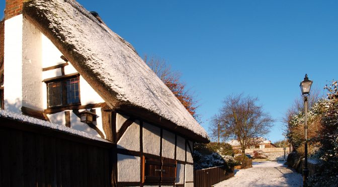
Summary for December 2016
In 1862, George Elliot, the novelist wrote: “The constantly heavy-clouded and often wet weather tends to increase the depression. I am inwardly irritable and unvisited by good thoughts”.
There were so many days in December when this description applied as the very thick, low cloud and days with fog occurred all too frequently. There were sixteen days when no UV light was measurable and thick fog, with visibility down to 100 metres, on four days.
December was mild and very dry, which climatologically is a relatively rare combination because typically mild Decembers are wet and cold Decembers are dry.
Although there were thirteen days with measurable precipitation the rainfall for the month amounted to just 22.6mm. The wettest day was the 10th when 8.5mm fell, over a third of the total for the month. This makes December 2016 the third driest December I have recorded since the station was started in 1984 and the driest month of 2016. It is no wonder that the Rivers Kennet and Og are running so low.
The 32-year average was 91.5mm, making a deficit of 68.9mm. The two previous very dry Decembers were in 1991 and 1988 with 21.8mm and 17.6mm, respectively. The record rainfall for December occurred in 2013 when 157mm was logged.
It is not surprising that the Rivers Kennet and Og are running so low as although November rainfall was above average the October total was very low. The rainfall for the whole of 2016 was 767 mm, which is 91% of the 32-year average or 72mm below.
Although there were eleven days when an air frost occurred, it was a mild month with the mean 0.7C above the long-term average. There were a couple of colder spells at the beginning and end of the month but twenty-one days when the maximum exceed the mean for December. The warmest day occurred on the 9th when the thermometer rose to 13.7C, which was 6C above the mean. The coldest night was measured on the 1st of the month when a minimum of -7.1C was recorded followed by -6.3C on the 2nd.
The peak barometric pressure occurred on the 27th with a reading of 1044.9mb and any wall barometer at home, accurately set, would have shown the arm far around to the right at the ‘Very dry’ setting. In fact it was the highest December barometric pressure I have recorded since 1991.
Many days were very calm as the intense high pressure dominated for much of the month. This resulted in many days with stagnant air and some days with hardly a movement of the air for extended periods. For example, on the 27th the anemometer measured a peak of just 5mph for the whole day with two very similar days when a maximum was 6mph, which cannot be classed as a gust of wind, just a brief movement of air. In contrast to this calm scene was a very breezy day that occurred on the 23rd when a maximum gust of 41mph was recorded.
To look on the bright side there fifteen days with strong sunshine, the sunniest occurring on the 29th with 5.77 hours.
The very dry Decembers of 1988 and 1991, as mentioned above, were followed by very dry Januaries with between a half and a third of the mean monthly rainfall. However, January 1989 was mild and January 1992 cold, so no consistent trend there. What will January 2017 bring?