Windrush Weather

Category: Commentary

  • Warmth is on our doorstep – highest UV and solar yesterday for months.

    Warmth is on our doorstep – highest UV and solar yesterday for months.

    Tuesday brought the first initial changes in our weather after ten days of gloomy, very cool weather. The thermometer rose to its highest since the 6th, but not to get excited, with a maximum of 6.8C it was still 0.6C below the long-term average. However, the strong sunshine, until just after midday then more muted due to high cloud, gave us the highest solar radiation since 26th October with a maximum of 476 watts/m2. In addition, the UV light brought us the maximum value of 1.4 since 31st October 2024.

    The pool of cool air was still with us overnight that saw the thermometer slowly drop away to reach a minimum of -0.1C at 06.04 early Wednesday that produced a ground frost and a very short lived air frost. By 08.00 the temperature had recovered to 0.2C.

    Wednesday revelled any with high, thin cloud that allowed some brightness at first.

    The very large area of low pressure is still edging closer. The advance edge of the associated weather front is currently over Somerset with variable rain showers. Between that area and ourselves there is a band of thicker cloud that will soon obscure any possible sunshine this morning. The barometric pressure has fallen 7mb since yesterday, the greatest drop since the 8th, indicating that the depression is winning the battle against the recent high pressure, now well to the east. The wind direction will change this afternoon, from the southeast where it has been for the past two days, to south, heralding the arrival of the warmer air. The downside of this change will be more cloud that will limit the sunshine and bring variable rain over the next few days.

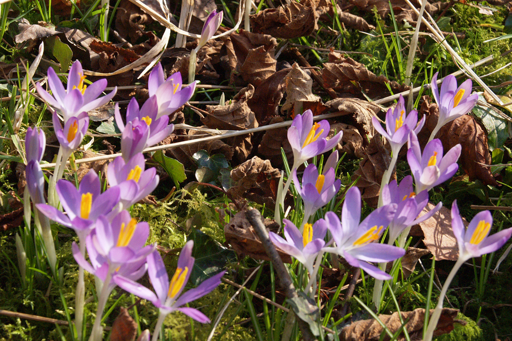
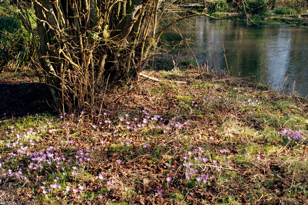
    The shrub shown in the pictures for the next few days will be Mahonia Japonica, much loved by bees, it also produces a very pleasant, strong scent.

  • Cold regime on way out

    Cold regime on way out

    The battle of the air masses continued on Monday with the colder air still in place brought on a light easterly breeze. The maximum of 5.7C was logged at 14.39, as hazy sunshine arrived around midday, being 2.7C below the long-term average. From that time the thermometer very slowly dropped away over the next sixteen hours to reach a minimum of -1.2C at 06.25, early Tuesday, being 3.1C below average.

    Monday saw a significant improvement with the strength of the UV light as the UV sensor was triggered continuously between 10.00 and 16.00 with a peak of 1.3, the highest since 31st October, bt till in the ‘Low’ category.

    The last four colder days, and particularly nights, have seen the cold air seep into the ground as the soil temperature at a depth of 5cm read at 08.00, logged 3.7C, 2.2C, 0.9C and 0.7C respectively.

    Tuesday revealed a sky with thin, high cloud that allowed variable, milky sunshine after sunrise.

    Today is the last day of the 10 day battle between the high pressure system and low pressure system with significant changes by Wednesday.The forecast charts show the depression making significant advances over the UK that will herald in warmer days but unsettled weather with rain at times. The barometric pressure has varied just 1mb over the last four days but by 08.00 on Wednesday we will see a marked drop in pressure as the depression gets closer.

    P.S. The flowers are early crocus at Welford Park and Garden, Berkshire

  • Changes on the way, at last. Gone anticyclonic gloom!

    Changes on the way, at last. Gone anticyclonic gloom!

    The easterly breeze persisted all day on Sunday that with only brief glimpses of sunshine in the afternoon limited any rise in temperature. The maximum of 4.4C, logged at 15.10, was 3.9C below the long-term average but there was also a wind chill that meant outside it felt at least 1C colder than that indicated on a thermometer. Although the cloud cover continued overnight the temperature very slowly dropped to freezing (-0.1C) at 21.44 and stayed below freezing overnight with a minimum of -0.9C at 04.41 early Monday being 2.8C below average.

    There were signs of a change in our weather on Sunday from the UV readings. The sun is slowly getting stronger, when we see it, with the thinner cloud from around mid-day resulted in a UV reading for more hours, from 11.00 to 16.00, peaking at a value of 0.7 at 15.12. This is still in the ‘low’ category but it is only mid-February.

    Monday began with high cloud that allowed weak sunshine to filter through giving a brighter start to the new day, very welcome after a week of gloomy days. The tussle between the high and low pressure systems continues with little variation in barometric pressure, up just 2mb since Sunday, with a reading of 1020.9mb at 08.00. The wind will continue from the east or east-southeast day, that wont do much to raise the temperature of the pool of cool air still over the UK.

    The synoptic charts show that changes are afoot with the extensive low pressure system in mid-Atlantic edging closer that will see a little more wind to stir up the atmosphere, dispersing the recent thick, low cloud, with a change in wind direction from Tuesday. As a result we will eventually see temperatures rise towards mid-week.

    The thermometer eventually rose above freezing at 09.02.

  • Saturday was second wettest day this month.

    Saturday was second wettest day this month.

    The drizzle and light rain, the first spots of rain triggered the automatic rain gauge at 08.45, continued intermittently throughout the daylight hours on Saturday with a total precipitation of 3.3mm that took the monthly total to 25.5mm when the long-term average is 68.0mm, so a relatively dry first half for February. The continuous low cloud meant little rise in temperature all day just 1.7C, with a maximum of 5.8C occurring at 15.04, being 3.5C below average. The temperature fell away very slowly overnight with a slight increase after 01.00 as the cloud began to thin dropping to a minimum of 0.7C at 07.35 easy Sunday, which was 1.2C below average. The dull and gloomy conditions triggered the UV light sensor, briefly, with a reading of 0.6 just after 14.00.

    Sunday revealed a brighter start to a new day with the cloud much higher and thinner allowing some brightness after sunrise but no sunshine. The wind has backed a few degrees and is now coming from the east or east-southeast so another mainly cool and cloudy day ahead.

    The first half of February has, as we know, been cool. Looking at the statistics I find that only three days have produced a maximum above average, namely the 3rd to the 5th. The fifteen overnight minima produced just four nights that were above the long-term average, the early hours of the 2nd also the 5th and most recently the 13th and 14th, but only just.

    The barometric pressure chart for the past twenty-four hours has shown a bit of a roller coaster as it has risen then fallen twice and then ended up today at 08.00 exactly as it was on Saturday at that time with a reading of 1019.0mb. The battle between the anticyclone and depression continued. The very large area of low pressure mid-Atlantic threw the cloud and rain over the UK yesterday and is not making much movement against the high pressure that dominated all last week.

  • Anticyclone gives way, just a little, to Atlantic depression! But there was sunshine on Friday!

    Anticyclone gives way, just a little, to Atlantic depression! But there was sunshine on Friday!

    On Friday, just after 11.00, there was a little brightness as the cloud thinned and just before 12.00 glorious sunshine broke through intermittently over the next two hours. Such a treat after a week when we suffered under depressing, gloomy conditions. This brief sunshine lifted the thermometer to a maximum of 5.3C at 14.31, being 3.0C below average, before very slowly falling away during the evening. The minimum of 2.7 occurred at 22.39 and held steady for a couple of hours before slowly rising again to reach 4.1C at 08.00 on Saturday.

    Sadly, Saturday revealed another gloomy start to a new day as the thick cloud had returned. This was due to the Atlantic low pressure system edging closer and throwing its advance cloud ahead of it. A few spots of rain were observed just before 19.00 on Friday evening and again just before 08.00 on Saturday but not measurable, recorded as a ‘trace’. Light rain began to fall at 08.25 as a wide, variable rain band edges over the area, extending from London to Cornwall. The barometric pressure has fallen almost 6mb to read 1019.0mb at 08.00

    The struggle between the two weather systems looks as if it will continue to play out until after the weekend, the high pressure pushing back tomorrow, with continuing cloudy and cool conditions, as the wind is likely to back into the east again on Sunday.