With over 12 hours of strong sunshine on Tuesday it was not surprising to see the thermometer rise and rise to a peak of 23.8C late in the afternoon at 16.17 being a significant 9.7C above my long-term average making it the hottest day since 1st September (25.5C). The UV value peaked at 5.3 being in the ‘High’ category from 12.09 to 13.45. The breeze from the southeast continued light with a maximum air movement of just 10mph on one occasion.
Wednesday morning brought a minimum of 4.3C at 06.00 being 0.5C above average with the temperature rising steadily after that time as the sun got to work, sunrise in Marlborough was 05.42, with a temperature of 12.5C at 08.00 making it the warmest start to a day at that time since 5th December. The soil temperature at a depth of 5cm has risen further to read 13.1C at 08.00.
The anticyclone, now principally to the east of the UK with air circulating clockwise, combined with a depression off the Iberian coast with air circulating anticlockwise, is between them feeding the dry and hot air from Spain and further south from North Africa. The ground is holding more warmth overnight so today we can expect the thermometer to rise even higher under continuous strong sunshine. There are indications that Thursday will be the last of the very dry and hot days as by Friday there are signs of a change due to the high pressure giving way to the low pressure getting closer that will result in less sunshine and lower maxima, but still a fine day.
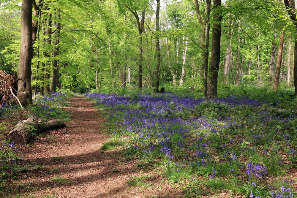
I continue with the sequence of images of the wonderful spread of bluebells found in West Woods near Marlborough