After a very overcast morning on Monday the sun broke through late afternoon producing welcome sunshine that lifted the temperature to 19.3C by 17.11, being exactly 2C above average. As on previous nights, the cool air stream and clear skies produced a very chilly night again that saw the thermometer very steadily fall away to reach a low of 3.2C at 05.24, just after sunrise in Marlborough at 05.02, being 3.9C below my long-term average. Thankfully, no cloud had drifted across from the North Sea in the early hours to spoil the sunrise.
Tuesday brought us a beautiful start to the new day without any cloud, clear blue skies, that saw the sun lift the temperature to 12.8C by 08.00. Later today we will see the first of the slow changes in our weather pattern after so many dry and warm days. The wind late afternoon is likely to back from the recent, persistent northeasterly, to north and northwest as the centre of the high relocates northwards allowing a very different day on Wednesday to creep in.
The anticyclone is still holding firm for the next three days but a small disturbance will bring us a more cloudy sky on Wednesday with the possibility of light showers, quantity unsure.
There is a major variation in the Spring rainfall this year compared to previous years. The total rainfall for the Spring 2025 season is just 18.5mm, that is up to today and including today, when the average over 41 years is 178mm. The previous ‘dry’ Spring was in 2011 with 65mm and the wettest was in 2000 with 279mm.
Sunshine will return on Thursday and Friday before the major change in our weather pattern arrives on Saturday, in time for the Bank Holiday!
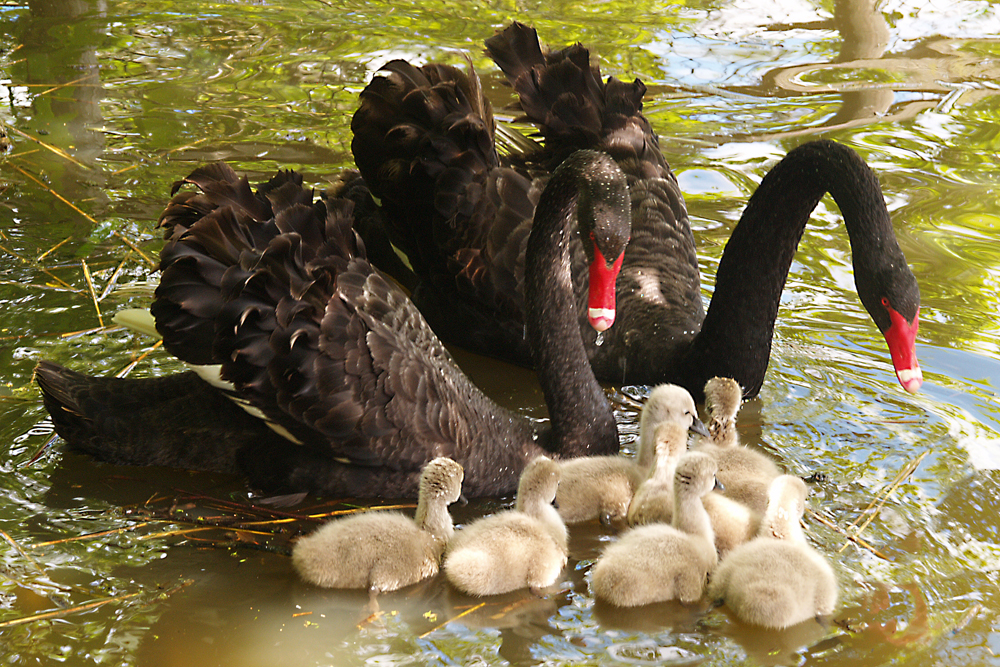
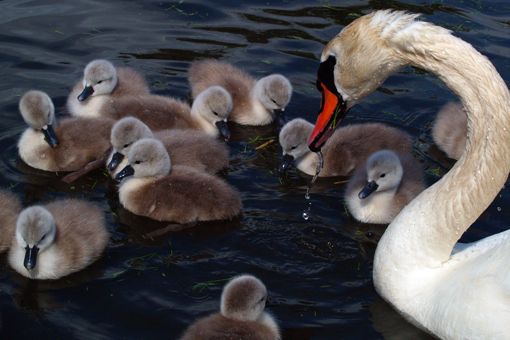
Abbotsbury Swannery: Throughout June and July the swans moult when the feathers are then collected to make helmets for the Queen’s bodyguards. Lloyds of London also use quills from Abbotsbury swan feathers to register insurance losses in their ‘Doom’ book.