Although we had wall to wall sunshine on Saturday the peak of the heatwave was on Friday. There was very high thin cloud for most of the day that meant both the UV light and solar activity were slightly down on the previous day, resulting in a maximum of 31.0C at 16.27, down almost 2C on the heatwave high of Friday, but still 8.3C above my long-term average. The wind came from the east, a slightly cooler direction also brisker than recently with a maximum gust of 18mph. However, yet again we had the opposite of wind chill in the winter with the heat index calculating that at 14.00, although the thermometer registered 30.6C outside it felt more like 33.9C, taking into account the four factors of air temperature, humidity, wind strength and direction plus solar activity.
The past night was the coolest for four days with a minimum of 10.8C at 05.25, 20 minutes after sunrise in Marlborough, being 1C below average.
The sun was in evidence after sunrise that, following a cooler start, lifted the temperature to 20.4C by 08.00. The ground has been absorbing the extreme heat over the past few days with the soil temperature at a depth of 5cm reading 25.2C at 08.00.
The high pressure is still the dominant weather feature, although it is slowly losing its grip it will give us a fine day on Sunday. The barometric pressure has fallen another 4mb since yesterday with a reading of 1014.0mb at 08.00. The depression to the northwest has associated weather fronts that are edging closer to the UK so that temperatures for the next three days will slowly fall away before recovering from Wednesday onwards, but not so extreme as the past heatwave days. By this evening the wind veer from the east to southwest, a direction not seen since June, as the weather systems relocate, heralding the arrival of an Atlantic influence.
Still Heatwave conditions but less extreme temperatures and slower to rise. Changes in weather pattern already underway.
Update:
27C reached at 13.29
28C reached at 14.14
29C reached at 15.33
Peak of 29.5C reached at 17.30
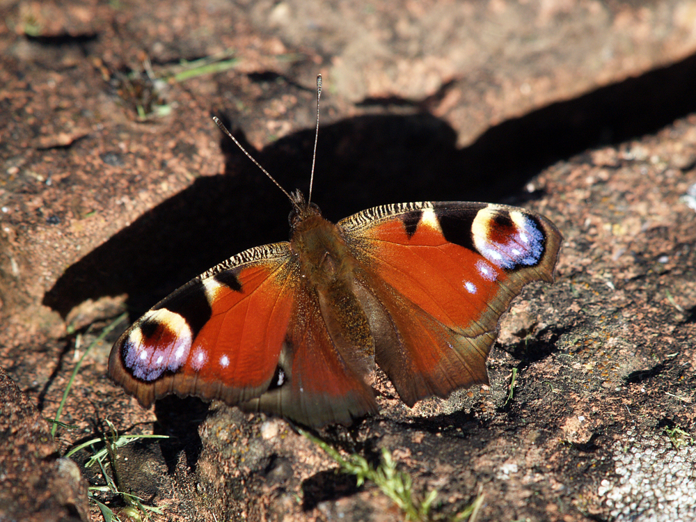
Hedge Brown butterflies on Ragwort in my wild flower garden.